North Bay wakes to a sun-forward forecast on Saturday after pockets of low cloud and fog dissipate through the morning. Expect a pleasant day with a high near 22 °C and a moderate ultraviolet index of 5, though nights remain noticeably cooler, falling to around 9–12 °C over the coming days.
What to expect today and tonight
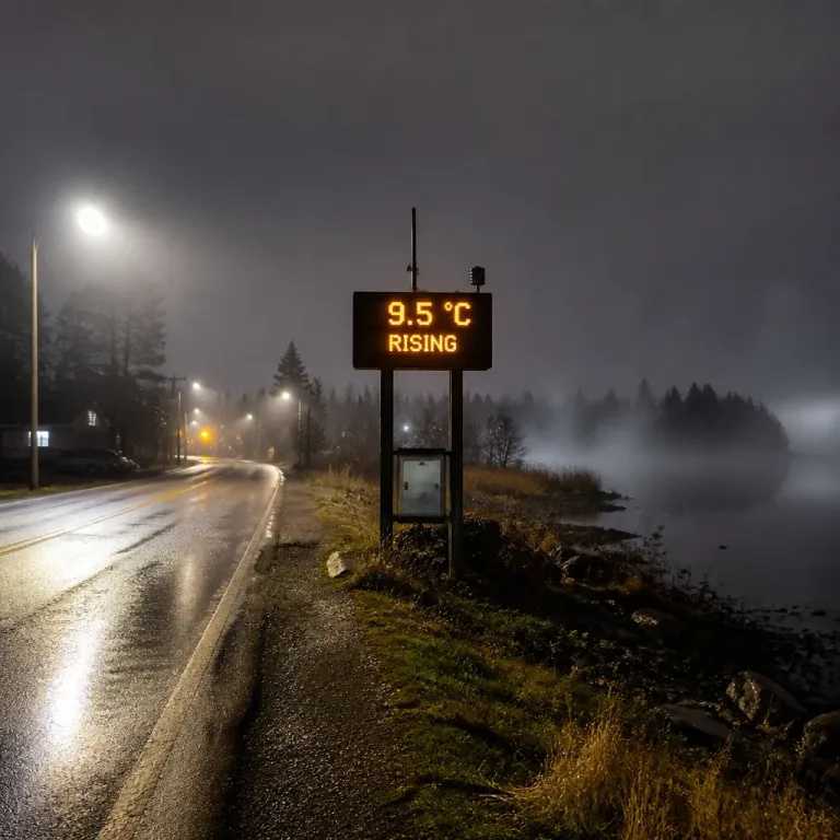
Observations just after 8 a.m. showed mainly sunny skies and a temperature near 9.9 °C, with pressure rising at 102.6 kPa and visibility around 48 km. A relatively light NNE breeze of about 12 km/h should not impede outdoor plans.
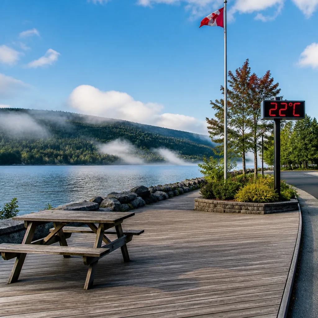
Fog patches that formed overnight are forecast to clear in the morning. That will allow temperatures to climb through the day, with a steady increase from about 9 °C at 9 a.m. to a high of 22 °C by mid-afternoon. The humidex will be modest, around 25, so the warmth should feel comfortable for most.
- Daytime high: 22 °C
- Tonight low: 9 °C (fog developing after midnight)
- UV index: 5 (moderate) — consider sun protection during peak hours
Near-term outlook: weekend into early week
The weekend remains largely favourable. Sunday looks much the same as Saturday, with fog again lifting in the morning and temperatures climbing to about 22 °C. Monday will bring a slightly more mixed sky — a combination of sun and cloud — while daytime highs hold around 21–22 °C.
Overnight temperatures remain cool: lows of roughly 8–9 °C for Sunday and Monday nights are expected, so outdoor evening plans may require a light jacket.
Midweek shift: chance of showers
By Tuesday and Wednesday the forecast signals an increase in cloud and the first chances of rain. Environment Canada’s reported probabilities indicate a 30 percent chance of showers on Tuesday night and Wednesday, with daytime highs dipping slightly to the 19–21 °C range. Thursday currently looks cloudier with an elevated chance of precipitation.
| Day | High | Low / Notes |
|---|---|---|
| Saturday | 22 °C | Low 9 °C; fog clearing in morning |
| Sunday | 22 °C | Low 9 °C |
| Monday | 22 °C | Low 9 °C |
| Tuesday | 22 °C | Low 11 °C; 30% chance showers overnight |
| Wednesday | 20 °C | Low 12 °C; 30% chance showers |
Practical implications
The pattern through the weekend is favourable for outdoor activities: fog should clear in time for the afternoon, and temperatures will be above seasonal normals. Still, early-morning travellers should remain cautious where fog lingers and be prepared for reduced visibility near water and low-lying areas.
Looking ahead to midweek, the modest chance of showers means event planners and commuters should monitor forecasts. While probabilities are not high, scattered showers may affect outdoor plans and could bring brief wet conditions.
Finally, the daytime UV index of 5 calls for basic sun protection — sunglasses, sunscreen and seeking shade during peak sun hours — especially for those spending extended time outdoors.
Keep an eye on updated forecasts as the week progresses; small shifts in position of the next weather system could change the timing and coverage of the expected showers.