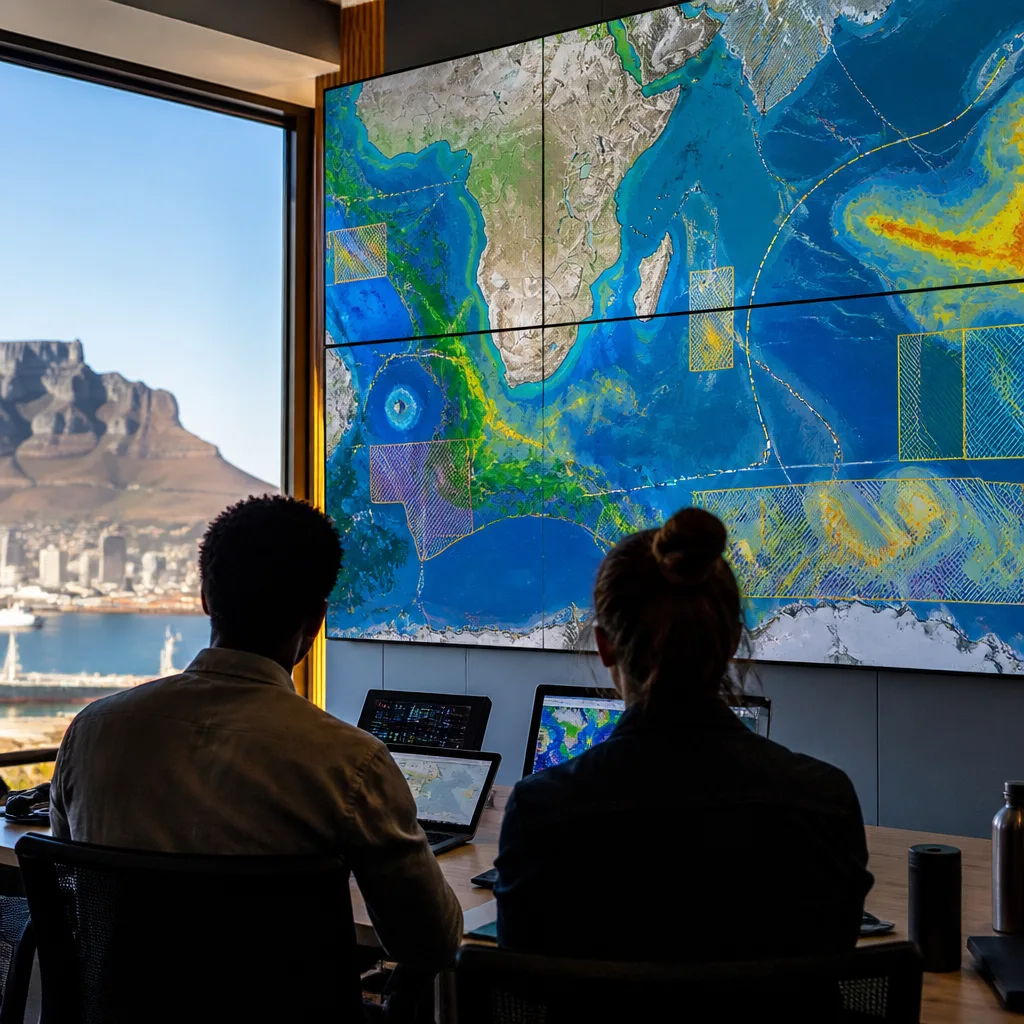
The high seas — the vast ocean beyond national jurisdiction — are now easier to survey and assess, thanks to a new online platform designed to gather authoritative scientific information in one place. The High Seas Protection Portal, developed by the Marine Conservation Institute, aims to support countries as they use the newly effective Agreement on Biodiversity Beyond National Jurisdiction (BBNJ Agreement) to propose marine protected areas (MPAs) in international waters.
Why a single portal matters
Understanding the high seas is a prerequisite for protecting them. These waters cover almost half of the planet’s surface and host features ranging from seabed mountain ranges to migratory corridors used by sharks, whales, sea turtles and seabirds. Yet until this year there was no global treaty mechanism that allowed nations to formally propose conservation measures beyond their exclusive economic zones. The BBNJ Agreement, which entered into force in January this year, changed that.
Before an area can be put forward as an MPA under the treaty, governments must assemble a body of evidence about ecological value, dependent species, human activities and any existing management measures. That task has traditionally required combing through many separate databases, reports and mapping tools — each containing parts of the picture but seldom the whole. The Portal sets out to reduce that friction by collating geospatial datasets into a single interactive interface.
How the Portal supports decision-making
- It aggregates authoritative spatial datasets from scientists, governments, international bodies and conservation organisations into one view.
- It presents ecological and human-use layers together so users can see overlaps — for example, important habitat and fishing activity — at common scales.
- It is intended to be usable by a wide range of actors: researchers, policymakers, conservation practitioners and coastal communities that rely on marine resources.
The Portal therefore acts as a practical bridge between scientific knowledge and the specific information requirements governments face when preparing an MPA proposal under the BBNJ framework.
| Key questions governments must address | Why the Portal helps |
|---|---|
| What habitats are ecologically important? | Consolidated habitat maps allow rapid visualisation of seafloor and pelagic features. |
| Which species depend on the area? | Species distribution layers for migratory and deep-sea fauna are provided alongside habitat data. |
| What human activities occur there? | Layers showing shipping, fishing and other uses highlight areas of potential conflict. |
| Are management measures already in place? | Existing measures and governance instruments can be overlaid for context. |
Context and consequences for South Africa
South Africa has a long coastline and a direct interest in healthy open oceans, both for fisheries and climate regulation. Consolidated datasets make it easier for national scientists to place regional priorities in a global context, identify transboundary species and habitats of concern, and engage in treaty processes that will shape high-seas governance for decades.
However, a tool is not a substitute for policy capacity. The Portal reduces technical barriers to assembling evidence, but governments still need expertise, funding and diplomatic coordination to translate that evidence into proposals that can succeed in multilateral fora. For states that join the BBNJ process, the Portal can lower the cost and time required to prepare robust submissions; it also creates a transparent reference that other parties and stakeholders can examine.
Finally, the Portal illustrates a broader point about contemporary conservation: effective protection of remote ocean areas depends as much on information systems and international law as it does on vessels and enforcement. As the BBNJ Agreement becomes operational, tools that organise and visualise science will be central to turning legal opportunity into practical protection for life on the high seas.