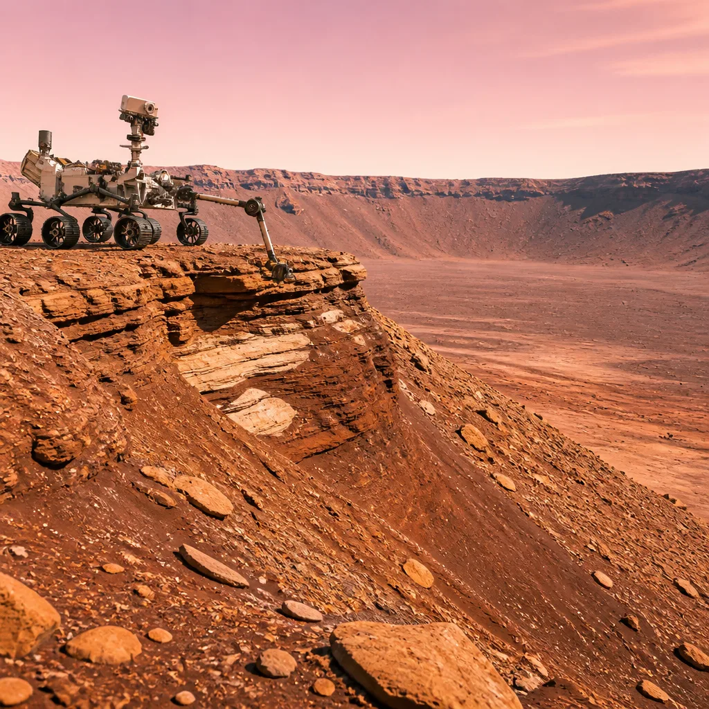
The Mars Science Laboratory rover Curiosity approached and climbed onto a vertical exposure of a suspected large‑scale stratigraphic break in Gale Crater known as an “erosional supersurface”, gathering high‑resolution imagery and conducting contact science with its suite of instruments.
What the team targeted and why it matters
Mission planners focused on a section the team refers to as “Cerro Paine Grande”, immediately below the candidate supersurface. A supersurface is a period in the rock record where a net depositional environment shifts to net erosion and then returns to deposition, producing a clear discontinuity. Such features are useful windows into past changes in Mars' environment because they can record shifts in wind, water activity or both.
“The ‘supersurface’ represents a period in time when a net depositional environment changed to a net erosional one before returning to a depositional regime, thus producing a discontinuity in the rock record.”
To investigate the contact, Curiosity used Mastcam to acquire large stereo mosaics of the vertical face and a 360‑degree panorama after climbing on top of the outcrop. The rover's close‑range camera (MAHLI) and geochemical instruments provided detailed characterisation of the layers beneath the discontinuity.
Contact science and targets
During the Sol 4968 planning cycle, the team co‑targeted a light‑toned block labelled “Puyehue” with the Alpha Particle X‑ray Spectrometer (APXS), MAHLI and ChemCam laser‑induced breakdown spectroscopy (LIBS). Two further LIBS observations were scheduled on a similar nearby bedrock block called “Lago Palena” and on a layered block off to the side named “Piedras Juntas”. These combined remote and contact measurements aim to reveal mineralogy and chemical variations across and below the candidate discontinuity.
Driving, tilt and imaging achievements
Curiosity executed a careful climb onto the outcrop and parked with an approximate 24° tilt — a posture selected to permit contact science. That tilt approaches the mission’s previous contact science record of 27°, underscoring the rover planners’ skill in exploiting Curiosity’s mobility while maintaining instrument safety. The Mastcam stereo mosaics and the 360° panorama place the local stratigraphy into context and will help the team refine hypotheses about the processes that produced the supersurface.
| Item | Detail |
|---|---|
| Location | Cerro Paine Grande exposure, Gale Crater |
| Sols referenced | 4968–4974 |
| Key instruments | Mastcam, MAHLI, APXS, ChemCam (LIBS) |
| Parking tilt | ~24° (near mission record) |
What the observations can reveal
- High‑resolution stereo imagery will resolve small‑scale sedimentary structures that distinguish wind‑driven (aeolian) from water‑deposited (fluvial) layers.
- MAHLI imaging and APXS elemental data provide context for mineralogical changes across the discontinuity.
- ChemCam LIBS analyses give rapid compositional snapshots to guide subsequent, more detailed contact work.
The team has already noted patterns consistent with aeolian features and some lens deposits that could have fluvial origins. These hints make the supersurface an especially interesting target because it could record an environmental transition — for example, intervals of relative wetness followed by drier, erosional conditions or episodes of increased wind erosion.
These results are part of routine operations in the continuing investigation of Gale Crater's sedimentary record. High‑quality imaging and coordinated instrument use are essential tools: they let scientists build layered interpretations, test whether particular beds were laid down by water or wind, and assess the timing and magnitude of environmental shifts on ancient Mars.
Further analyses of the acquired data — including detailed mapping of sedimentary textures and cross‑comparison of compositional measurements — will be required before the team can draw firmer conclusions about the processes that produced the supersurface and the palaeoenvironmental history it records.
The Mars Science Laboratory team continues to plan science and engineering activities as Curiosity advances through this geologically rich terrain.