HILO, Hawaii — A magnitude 5.2 earthquake struck beneath the Kamaʻehuakanaloa undersea volcano Monday evening, the U.S. Geological Survey said, part of a pulse of volcanic unrest that began the previous day.
Where and when the quake occurred
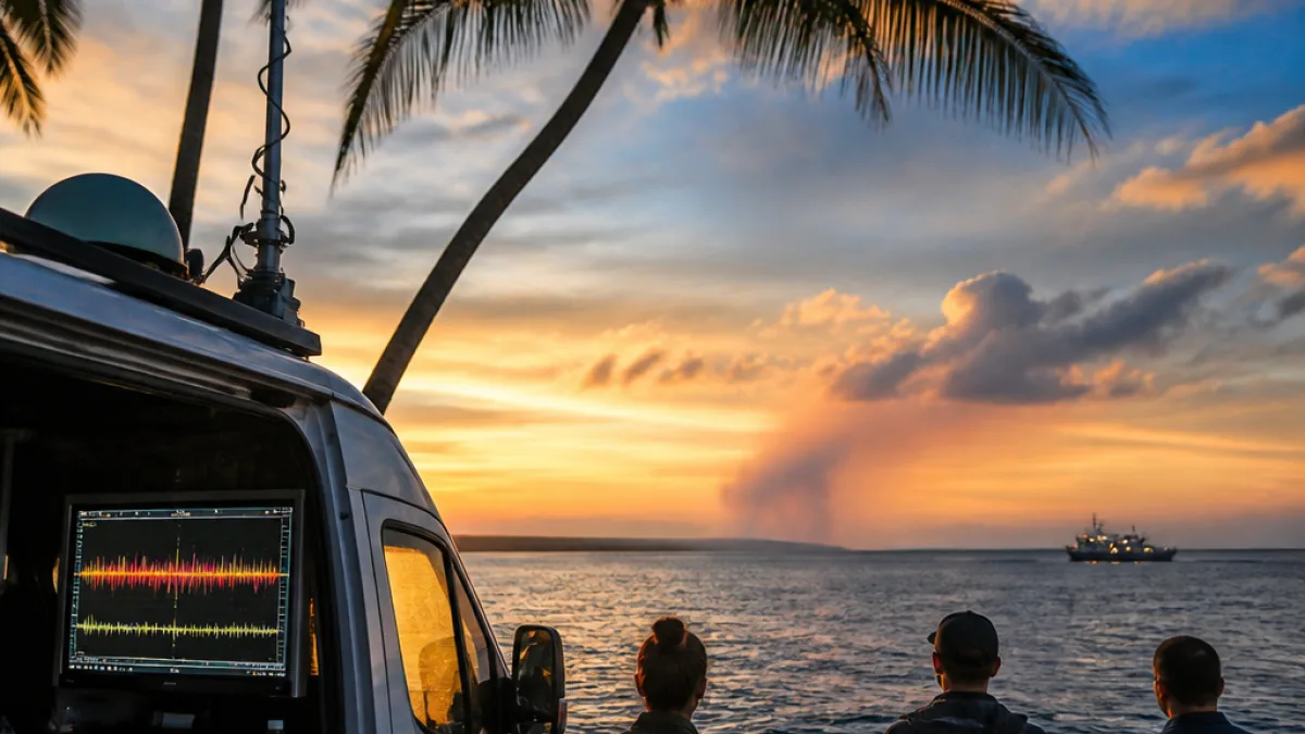
The USGS reported the quake just before 6 p.m. local time, centered roughly 26 miles off the Big Island and about 7 miles below sea level. Residents in Hilo and surrounding communities reported feeling the shaking, though there were no immediate reports of damage.
| Parameter | Value |
|---|---|
| Magnitude | 5.2 |
| Location | Kamaʻehuakanaloa (formerly Lō‘ihi) undersea volcano |
| Distance from Big Island | ~26 miles |
| Depth | ~7 miles below sea level |
Volcanic unrest, not tectonic activity
Officials said the earthquake is associated with volcanic unrest beneath Kamaʻehuakanaloa, the submarine volcano located about 19 miles off the Big Island whose summit lies roughly 0.6 miles beneath the ocean surface. The USGS distinguished the event from typical tectonic quakes, noting the activity relates to processes beneath the seafloor.
"Intermittent earthquake activity has been recorded in the vicinity of Kama‘ehuakanaloa (Lō‘ihi) since as early as 1952," the USGS said.
Although the magnitude was strong enough to be felt onshore, the agency said a tsunami warning was not warranted for this event. Scientists cautioned that aftershocks are possible in the coming days and will be monitored closely.
What this means for the Big Island
For residents and visitors, the most immediate impact was brief shaking felt in Hilo and nearby areas. Emergency management officials have not reported structural damage, injuries or disruptions to utilities as of the latest updates. Still, any sustained or escalating seismic swarm beneath a submarine volcano can raise questions about future eruptive activity and potential hazards.
Key points for the public:
- There have been no reports of damage tied to the Monday evening event.
- The quake is considered related to volcanic unrest beneath Kamaʻehuakanaloa rather than an earthquake on a tectonic fault.
- Officials advise residents to remain aware of official notices from the USGS and county emergency management agencies.
Background on Kamaʻehuakanaloa and monitoring
Kamaʻehuakanaloa, previously known as Lō‘ihi Seamount, has a history of intermittent seismicity dating back decades. The seamount is an active submarine volcano on the flank of the Hawaiian hotspot that produces Kilauea and Mauna Loa. While its summit remains below the ocean surface, eruptions at submarine volcanoes can produce localized hazards and are closely watched by scientists because they offer clues about magmatic processes under the island chain.
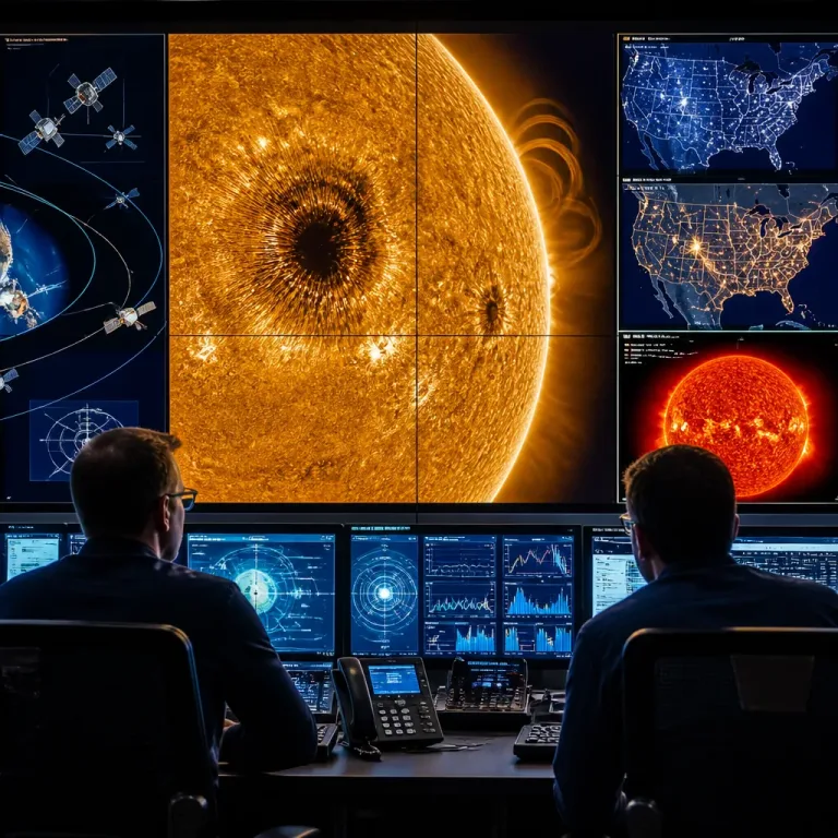
Seismologists and volcanologists use seismic networks, GPS, sea-floor sensors and satellite data to evaluate unrest. The USGS and partners continually analyze such signals to determine whether seismic bursts represent shallow magma movement that could presage an eruption or deeper adjustments that are unlikely to change surface conditions.
What officials will watch next
In the hours and days following the Magnitude 5.2 event, scientists will be looking for:
- Patterns of aftershocks or an escalating seismic swarm
- Changes in seismic energy, depth or location indicating magma migration
- Any ocean-surface anomalies that could indicate submarine eruption activity
For now, the USGS has not linked this quake to an imminent eruption at Kilauea or Mauna Loa on the Big Island. Authorities urge residents to stay informed through official channels and to follow guidance from Hawaii County Civil Defense and the USGS for any updates.
We will continue to monitor reports from the USGS and local emergency management and provide updates as more information becomes available.