
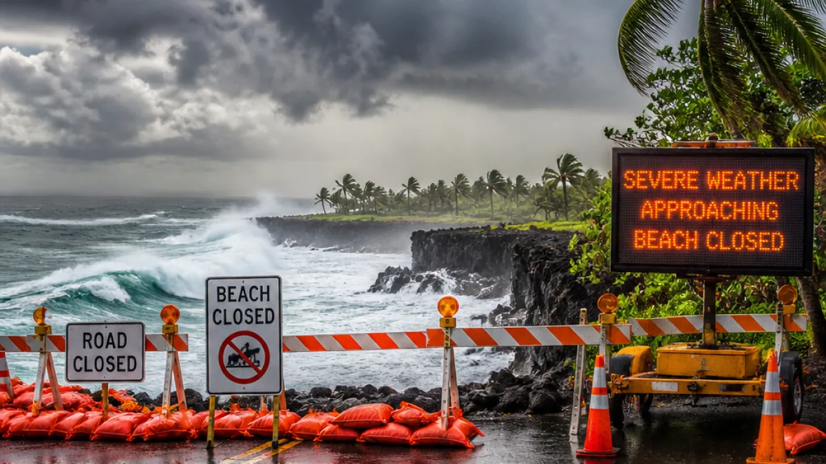
The storm known as Hurricane Nolo intensified into a Category 2 system early Friday, the Central Pacific Hurricane Center reported, with maximum sustained winds increasing to 105 mph. Air Force Reserve Hurricane Hunter aircraft provided the data indicating the jump in strength from earlier advisories.
Position, motion and intensity
At 8:35 a.m., the center of Nolo was located about 185 miles south of South Point and roughly 380 miles south-southeast of Honolulu. The system was moving north-northeast at approximately 5 mph. Hurricane-force winds extended out to about 45 miles from the center, while tropical-storm-force winds reached as far as 115 miles.
Forecast track and timing for the Big Island
Forecasters expect Nolo to shift toward the west-northwest and west, while increasing its forward speed over Saturday and Sunday. On the projected path, the center is expected to remain south of the main Hawaiian Islands, but impacts from the storm are likely for the Big Island.
“A turn toward the west-northwest and west with an increase in forward speed is forecast Saturday and Sunday,”
The Central Pacific Hurricane Center said the eastern and southern slopes of the Big Island will be most at risk of heavy rainfall and flooding. Tropical-storm conditions are forecast to begin on Friday night, with hurricane conditions possible by early Saturday in areas of steep terrain.
Warnings, watches and public guidance
State and federal forecasters have issued the following alerts for Hawaii County:
- Hurricane watch — hurricane conditions are possible within 24 to 36 hours.
- Tropical storm warning — tropical storm conditions are possible within 24 to 36 hours.
- Flood watch for the Big Island — remains in effect through Saturday afternoon.
Officials advise residents to monitor local emergency channels and review household emergency plans, especially in flood-prone and low-lying areas.
Rainfall and flooding threat
The National Weather Service and the Central Pacific Hurricane Center both warned that heavy rainfall will increase across the Big Island. Forecast guidance called for substantial totals:
| Area | Forecast rainfall |
|---|---|
| Eastern and southern Big Island | 10 to 15 inches (with isolated amounts up to 25 inches) |
| Western portions | Lower amounts expected (exact totals vary by location) |
Those rainfall amounts raise the threat of flash floods, especially on windward and southeastern slopes where orographic lift can enhance showers. The flood watch issued for the Big Island remains in effect through Saturday afternoon.
Waves, surf and coastal impacts
Life-threatening surf and dangerous coastal conditions are expected along exposed shores. The storm’s large wind field and swell generation could produce strong rip currents, beach erosion and hazardous breaking waves.
What residents should do now
Emergency management officials urge residents and visitors to take preparedness steps immediately:
- Review evacuation plans if you live in a flood-prone or low-lying area.
- Secure loose outdoor items and prepare for possible power outages.
- Keep a battery-powered radio, fresh water, food and essential medications on hand.
- Avoid driving through flooded roads and follow official closure orders.
Although the forecast track keeps Nolo’s center south of the major islands, the storm’s size and rainfall potential mean hazardous conditions are possible across the Big Island through the weekend. Residents should continue to follow updates from the Central Pacific Hurricane Center, the National Weather Service and local authorities for the latest watches, warnings and evacuation information.
WE NEWS will provide ongoing coverage as new advisories and local emergency information become available.














