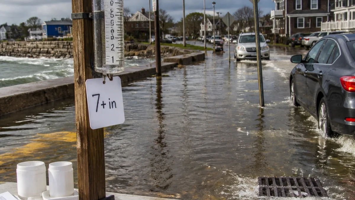
Heavy, prolonged rain drenches large parts of the state
A nor'easter that parked off New England over the weekend brought extended bands of heavy rainfall to Massachusetts, producing several inches of rain in many communities and localized amounts exceeding 7 inches, according to rainfall reports compiled by the National Weather Service.
StormTeam 5 and NWS observers logged widespread precipitation across the state, with the highest reported amounts concentrated on Cape Cod and parts of southeastern Massachusetts. The prolonged nature of the event — multiple rain bands moving through over an extended period — resulted in large storm totals rather than a short burst of intense rainfall.
Where the rain fell hardest
Among the highest official reports were:
- Barnstable County: Camp Edwards recorded 7.11 inches.
- Bristol County: Acushnet reported 7.33 inches; New Bedford (4.3 N) logged 6.47 inches.
- Falmouth area: multiple sites reported totals in the 5–6 inch range, including a 6.00-inch report and several between 5.1 and 5.8 inches.
Officials also recorded numerous other multi-inch totals across Cape Cod, the South Coast and portions of the interior, with many stations reporting between 3 and 5 inches of rain. Western and central parts of the state recorded lesser amounts in many locations, but flash flooding remained a concern where higher totals fell in a short period.
Top reported totals (selected)
| Location | County | Reported rainfall |
|---|---|---|
| Acushnet | Bristol | 7.33" |
| Camp Edwards | Barnstable | 7.11" |
| New Bedford (4.3 N) | Bristol | 6.47" |
| Falmouth (5.7 N) | Barnstable | 6.00" |
| Falmouth (various sites) | Barnstable | ~4.7–5.8" |
Flooding and impacts
Prolonged heavy rain raises the risk of both urban and river flooding. In coastal areas, high tides combined with heavy rainfall can exacerbate inundation of low-lying streets and properties. In more developed pockets, overwhelmed storm drains and poor drainage can lead to flooded basements and road closures. The National Weather Service post-event reports indicated multiple sites where rainfall totals would be capable of producing localized flooding.
Transportation agencies typically respond to these events with road advisories and occasional closures where flooding occurs. Utility crews also remain on alert for power outages caused by saturated soil contributing to falling trees and branches.
What residents should know
- Track local NWS and municipal alerts for any flood or evacuation notices.
- Avoid driving through flooded roadways; just a few inches of moving water can disable a vehicle.
- Prepare for possible power interruptions if trees or branches fall onto lines.
Rainfall reports compiled by the NWS remain the most reliable post-storm gauge of totals across the state. Local officials and emergency management agencies use those reports to assess damage, plan cleanup and determine whether additional public-safety actions are needed.
As the nor'easter moves away and skies begin to clear in coming days, state and local crews will be assessing drainage systems, clearing debris and responding to the highest-impact areas first. Residents with property in known flood-prone locations should check basements and low-lying yards for water intrusion and document any damage for potential insurance claims.
National Weather Service station and Spotter reports, along with automated gauges, provided the rainfall figures referenced in this summary. For the most current information on flood advisories and any remaining impacts from the storm, consult the NWS Boston office and local emergency management offices.