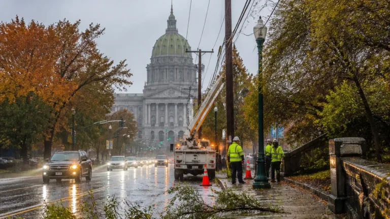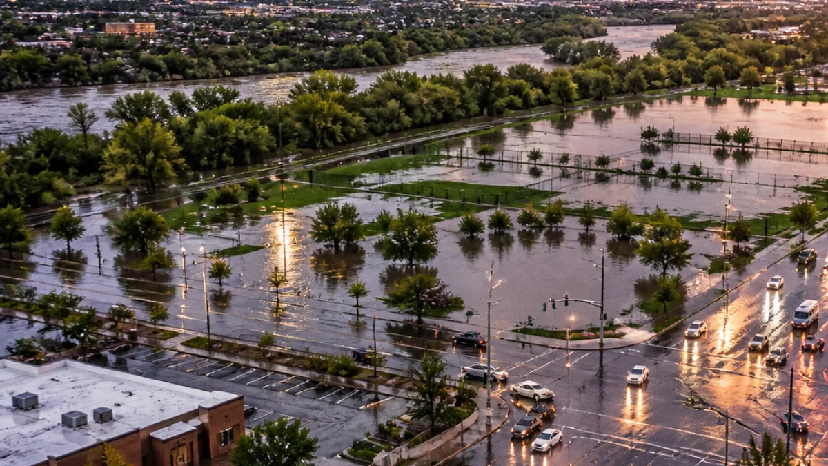
ALBUQUERQUE, N.M. — New Mexico’s monsoon pattern is reasserting itself, with meteorologists forecasting a fresh surge of heavy rain beginning Monday and persisting into Tuesday that could trigger flash flooding, closed roads and water rescues in some communities.
Where and when the heaviest rain is expected
Forecasters say the initial, most intense downpours will develop over western New Mexico Monday before spreading east and north through the state later that day and into Tuesday. Central and northern counties could see prolonged periods of rain, with some locations experiencing steady precipitation from Monday afternoon into Tuesday.
| Region | Timing | Expected rainfall |
|---|---|---|
| Western New Mexico | Monday (heaviest) | 1–3 inches typical; localized higher totals |
| Central & Northern New Mexico | Monday afternoon through Tuesday | 1–3 inches, with repeated storms possibly producing up to 6 inches or more |
| Four Corners & far north | Tuesday into Wednesday | Showers/storms may linger; heavy at times |
Flooding hazards and likely impacts
Officials warn the combination of heavy downpours and saturated ground could produce rapid rises in streams, arroyos and small rivers. Areas struck repeatedly by training thunderstorms — where storms pass over the same place more than once — are especially at risk for significant runoff and localized destruction.
- Most of New Mexico has a reasonable chance to collect 1–3 inches of rain from this event.
- Pockets that receive multiple heavy hits could accumulate 6 inches or more, increasing the likelihood of property damage and water rescues.
- High river and stream flows from runoff may persist through Friday, even after the main rainfall ends.
Drivers should exercise caution on wet roads and avoid crossing fast-moving water. Authorities often remind the public: turn around, don’t drown — just a few inches of rushing water can carry a vehicle off the road.
Timing of the break and implications for Balloon Fiesta weekend
Most areas are expected to see the rain taper off by Wednesday morning, though scattered showers or storms could remain near the Four Corners and the state’s northern reaches. Forecast guidance indicates a drier stretch for the upcoming weekend, which would coincide with the opening of the Albuquerque Balloon Fiesta. However, a passing cold front may increase wind speeds on Sunday, a factor that can affect hot-air balloon operations.
Meteorologist Alan Shoemaker has posted a detailed video forecast and the latest updates on local radar; residents are advised to follow official weather alerts and consult interactive radar resources for current conditions.
Preparedness steps for residents
With flood potential elevated, emergency managers recommend several precautionary measures:
- Monitor local weather alerts and watch for flood warnings in your area.
- Avoid driving through flooded roadways and never attempt to cross flowing water on foot or in a vehicle.
- Secure outdoor items and move valuables to higher ground if you live in a flood-prone location.
- Have a plan for pets and family members who may need assistance during rapid flooding.
Because heavy rainfall may strike the same communities repeatedly, those living near arroyos, washes or small streams should be particularly vigilant. Rising water levels in rivers and tributaries caused by runoff could remain elevated for days after the storms pass.
This weather episode follows recent flooding in parts of the state; together, the events are producing a volatile late-summer pattern that underscores the ongoing risk monsoon season brings to New Mexico’s communities.
For the most current conditions and warnings, residents should consult local National Weather Service products and trusted local weather sources before traveling or making outdoor plans.
Diego Salazar is the state correspondent for WE NEWS. He covers weather and public safety across New Mexico.