
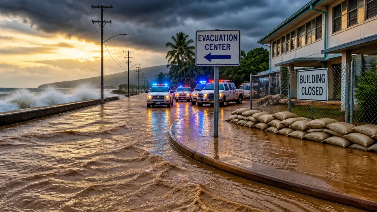
The Big Island of Hawaii is bracing for what forecasters say could be life-threatening flooding as Tropical Storm Nolo moved northward late Thursday and was forecast to strengthen into a hurricane before reaching the state.
Immediate threats and state actions
The U.S. National Hurricane Center and state officials warned that extreme rainfall is the primary danger, with potential for catastrophic flooding and mudslides. A hurricane watch was issued for Hawaii County, which covers the entire Big Island, and officials ordered preemptive closures to reduce risks to residents.
Gov. Josh Green's office said public schools and state and county offices on the Big Island would be closed Thursday and Friday. Maui County announced closures for Friday in anticipation of heavy rain, high winds and flooding. Emergency managers urged residents to prepare now and to follow guidance from county civil defense and the National Weather Service.
Forecast and rainfall outlook
As of Thursday the system was churning roughly 285 miles south of South Point on the Big Island and was expected to intensify. Forecasters projected Nolo could become a hurricane by Thursday night local time and approach the Big Island as early as Friday.
| Area | Maximum forecast rainfall |
|---|---|
| Big Island (Hawaii County) | Up to 35 inches |
| Maui County | Up to 20 inches |
Those totals, if realized, could trigger widespread flash flooding, prolonged inundation of low-lying areas and landslides in the state’s more rugged terrain. Forecasters warned that storm surge and dangerous surf accompanying Nolo will further elevate the threat along exposed coastlines.
Context: an active Pacific hurricane season
The approach of Nolo comes amid an unusually active eastern and central Pacific season tied to a strong El Niño. The warm ocean waters and reduced wind shear associated with El Niño have allowed several powerful systems to develop this year. Hurricane Polo, which has oscillated between Category 4 and Category 5 strength in recent days, was dumping heavy rain along Mexico’s Pacific coast while Nolo tracked westward.
Earlier this season, Hurricane Lala and Hurricane Lowell delivered damaging impacts to parts of Hawaii; Lala produced catastrophic flooding on the Big Island in August, and Lowell struck Kauai and Niihau in September. Forecasters said that if Nolo passes within about 100 miles of the Big Island’s center it would mark the first season since at least the 1950s with three hurricanes coming that close to the main islands.
What residents should do now
- Follow official county civil defense and Hawaii Emergency Management Agency advisories.
- Secure outdoor items, move vehicles to higher ground, and prepare an evacuation plan if you live in flood-prone or landslide-prone areas.
- Assemble or refresh an emergency kit: water, nonperishable food, medications, flashlights and batteries, and documentation in waterproof containers.
- Avoid driving through flooded roads — turn around, don’t drown.
Local authorities recommended that residents who live in low-lying areas or neighborhoods with a history of flooding consider relocating temporarily to higher ground or to shelters once they open. County officials have been preparing shelters and moving people away from vulnerable coastal locations.
Ongoing monitoring and next steps
Forecasters stressed the track and intensity forecasts could change, and residents should monitor updates from the National Hurricane Center, the National Weather Service in Honolulu and county emergency channels. Rainfall and flood forecasts are particularly subject to change based on the storm’s exact path and any interaction with Hawaii’s terrain.
As the state prepares, county and state emergency teams said they would continue to assess road and infrastructure vulnerabilities and coordinate potential search-and-rescue and relief operations should Nolo make a close pass. The public is urged to stay informed and avoid unnecessary travel while the storm threat persists.
This is a developing story; WE NEWS will provide updates as new official information becomes available.














