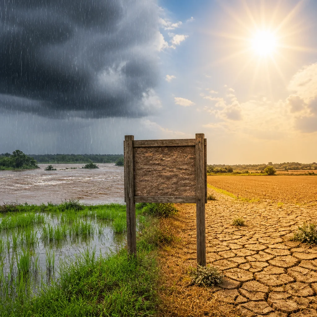
New Delhi, Aug 22: A low-pressure area over northeast Madhya Pradesh is sustaining the southwest monsoon over large parts of central and eastern India, but the overall rainfall pattern is becoming increasingly uneven, with several regions continuing to see deficient precipitation, meteorological forecasts show.
Where rain is likely to be concentrated
The latest outlook indicates a pronounced wet spell for central, eastern and northeastern India over the coming days. Specific forecasts include:
- East Madhya Pradesh: heavy to very heavy rain at isolated places on Aug 22.
- Chhattisgarh: fairly widespread to widespread rain through Aug 26, with isolated heavy spells.
- West Madhya Pradesh: isolated heavy rain through Aug 25.
- Odisha: fairly widespread to widespread rainfall through Aug 26, with heavy spells on Aug 21-22 and 24-26.
- Jharkhand and Bihar: Jharkhand likely to see widespread rain from Aug 22-26; Bihar active from Aug 22-25.
- Northeast: Assam and Meghalaya may receive isolated heavy rain through Aug 27; Arunachal Pradesh heavy on Aug 21 and again from Aug 23-27.
- Konkan and Goa: expected to remain wet through Aug 27.
- West Uttar Pradesh: isolated heavy rain on Aug 22; East Uttar Pradesh fairly widespread rain from Aug 22-25.
Areas likely to remain comparatively dry
By contrast, parts of the western and southern peninsula are forecast to get less widespread rainfall. The forecast map shows:
- Rajasthan and Gujarat: largely below-normal rainfall with only isolated showers in some western districts.
- Several southern states: the peninsular south is expected to remain drier relative to the active central–east belt.
| Region | Expected pattern (next few days) |
|---|---|
| Central India (Madhya Pradesh, Chhattisgarh) | Fairly widespread to widespread rain; isolated heavy spells |
| East India (Odisha, Jharkhand, Bihar) | Widespread rain with intervals of heavy rainfall |
| Northeast (Assam, Meghalaya, Arunachal Pradesh) | Wet spell with isolated heavy rain |
| West/Northwest (Rajasthan, Gujarat) | Less widespread rainfall; isolated showers |
| Southern peninsula | Relatively drier compared with central–east India |
Context and implications
The pattern described by the forecast reflects a monsoon that is active in parts but increasingly patchy overall. That has multiple practical consequences. Farmers in the central and eastern belt may receive much‑needed rains in the short term, while deficit areas in the west and south could continue to experience stress on soil moisture and reservoirs if the uneven pattern persists.
Urban areas in the active band, including parts of Haryana, Chandigarh and Delhi where an India Meteorological Department heavy‑rain warning was in effect for Aug 22, should prepare for episodes of waterlogging and localized flooding during intense downpours. The forecast of isolated heavy spells — which can develop rapidly within larger wet systems — calls for vigilance by local authorities for drainage, traffic management and emergency response.
Meteorological forecasts represent probabilistic assessments based on current synoptic features such as low‑pressure systems, monsoon trough placement and moisture transport. A low‑pressure area can intensify rain over a broad swathe but still leave neighbouring districts relatively dry; this is why the season can be both active and uneven simultaneously.
For citizens and planners the immediate takeaways are simple: expect heavy rain in central, eastern and northeastern states over the next few days; those in parts of the west and south should not expect uniform relief; and localised flash flooding remains a hazard where thunderstorms and intense spells occur.
Authorities and the public should follow updates from the India Meteorological Department and state disaster management agencies for area‑specific warnings and advisories as the situation evolves.