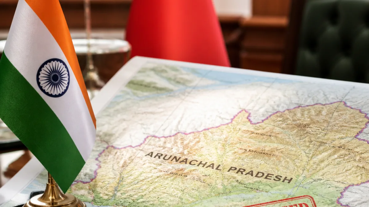
New Delhi has formally standardised the names of 27 locations and geographical features in Arunachal Pradesh on official maps, a move that has drawn a sharp response from Beijing and renewed focus on the long-running territorial contest between the two countries.
Official acts, diplomatic ripples
The Ministry of External Affairs (MEA) on August 11 reiterated India's position that Arunachal Pradesh is an “inalienable and integral” part of the country. The ministry added that attempts to change nomenclature do not alter the ground reality of administration and sovereignty.
China responded by calling the Indian step
"unilateral" and "null and void", and restated its claim over Arunachal Pradesh, which it refers to as "Zangnan" (southern Tibet). The exchange underlines how cartography and place-naming continue to play a role in the diplomatic and territorial competition along the Line of Actual Control (LAC).
Why names matter
For New Delhi, the decision to standardise place names on Survey of India maps is an administrative action: it consolidates official nomenclature for places within a state that India administers. Officials argue that standardized names aid governance, mapping, disaster response and public administration.
For Beijing, such administrative steps are perceived as moves that bolster Indian claims. Military analysts cited in recent commentary view the Indian action as a response to a pattern of Chinese cartographic measures — renaming features and issuing documents to reinforce claims.
Views from academia and observers
Scholars of China studies see the development as a clear assertion of sovereignty. Sriparna Pathak, professor of China studies at OP Jindal Global University, described India's naming exercise as a decisive counter to what she characterised as repeated cartographic moves by China aimed at inventing Chinese names for Indian-administered territory.
Observers note that place-naming is only one element in broader statecraft. Administrative nomenclature, legal instruments, infrastructure development and on-ground presence together shape perceptions of control and legitimacy in contested areas.
Implications for bilateral ties and border stability
Both New Delhi and Beijing emphasised the linkage between border management and overall bilateral relations. The MEA statement highlighted that maintenance of peace and tranquillity along the border is of paramount importance and that the state of border affairs will reflect on the wider relationship between the two countries.
Analysts warn that while naming is a low-cost administrative step, it can produce diplomatic friction when undertaken in sensitive zones. Past cycles of cartographic assertions by both sides have led to protests and formal diplomatic demarches in the past.
- Number of names standardised: 27
- Indian response: Arunachal Pradesh an “inalienable and integral” part of India, MEA said
- Chinese response: Action called "unilateral" and "null and void"; region referred to as "Zangnan"
Practical considerations for the region
Standardised toponyms on official maps are used for multiple administrative functions — from land records and revenue administration to disaster management and infrastructure planning. For residents and officials in Arunachal Pradesh, clarified nomenclature can simplify official paperwork and navigation, and help central and state agencies coordinate programmes.
However, the move also carries symbolic weight for local communities and neighbouring countries that factor identity and history into territorial claims. Any shift in practice that is seen as strengthening sovereignty claims tends to draw diplomatic responses.
| Actor | Position |
|---|---|
| Government of India (MEA) | Arunachal Pradesh is an inalienable part of India; standardisation is administrative |
| China (Beijing) | Describes the step as unilateral and "null and void"; reiterates claim over region |
| Academia / Observers | See the act as assertion of sovereignty and part of cartographic contest |
While the naming exercise is framed by officials as a routine administrative measure, it has reopened diplomatic debate and underscores how even technical map updates can carry strategic significance on the India-China frontier. Both capitals have reiterated the need to preserve peace in the border region, but the episode is likely to feed into ongoing conversations on cartographic practices, sovereignty signalling and bilateral engagement.