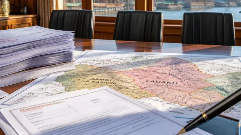
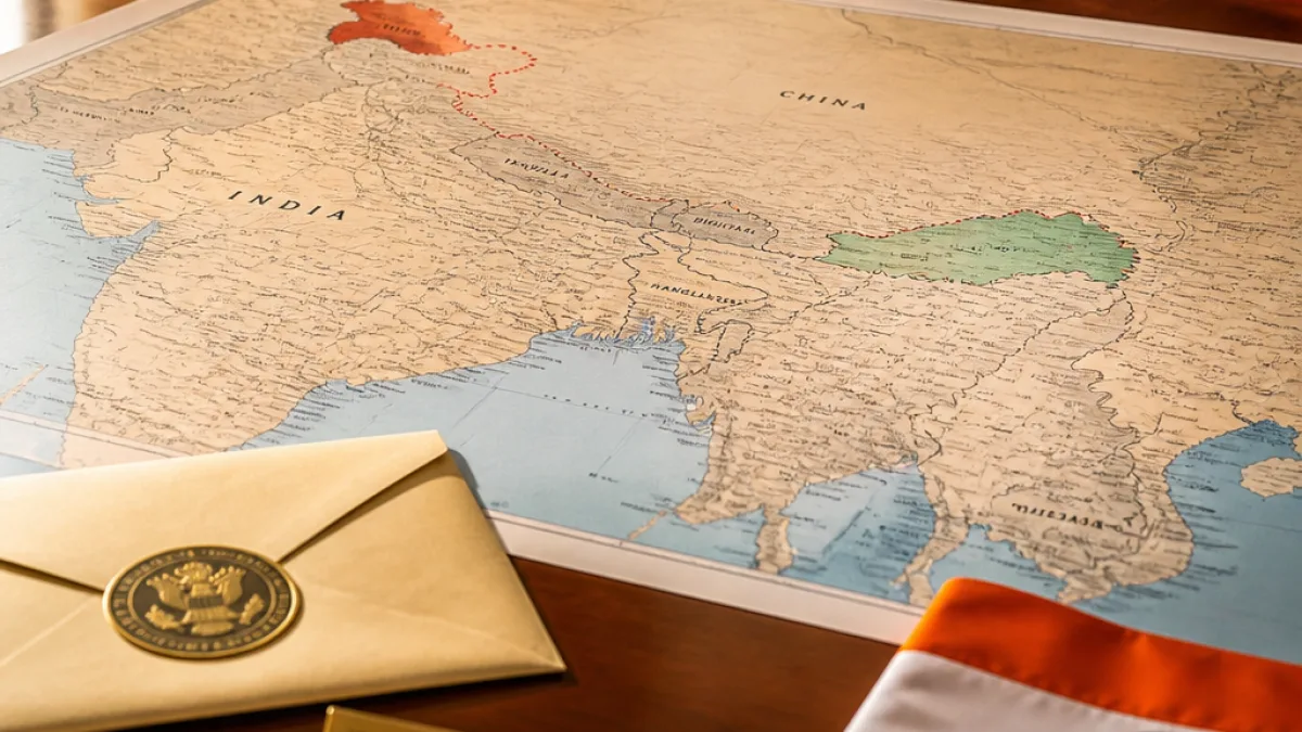
New Delhi: The Ministry of External Affairs (MEA) has formally flagged anomalies in a recently released United Nations world map that shows Arunachal Pradesh and Aksai Chin as distinct regions positioned between the respective claim lines of India and China, according to an official statement on Tuesday.
MEA raises objections, reiterates India's territorial position
The MEA said it has taken up the matter with the concerned persons after the map depicted the two contested areas as separate entities. New Delhi reaffirmed that it regards Arunachal Pradesh as an integral part of India and considers Aksai Chin to be part of Ladakh.
The development comes days after the UN General Assembly adopted a resolution on equal-area map projections, backed by the African Union, which India supported on the grounds of the cartographic principle it promotes. New Delhi, however, recorded an explanation of vote to make clear that its backing for the resolution did not amount to an endorsement of any particular map or a determination of how territorial disputes should be shown.
"We favoured the resolution and voted in favour of the resolution. When the resolution was adopted in the UN General Assembly, we also made a statement where we clarified our position...The resolution is focused on the principle of equal-area maps. It does not endorse any map of any private party or..." — MEA spokesperson Randhir Jaiswal
The MEA said on Tuesday that Delhi had emphasised this position during a press briefing, signalling concern that the newly released UN map might be misread as reflecting any official change in India's stand on disputed territories.
What the UN resolution says and why India supported it
The resolution, adopted on September 4, encourages greater use of equal-area map projections, which aim to represent the relative size of countries and continents more accurately than some other projections. India supported the measure because of its emphasis on that cartographic principle, the MEA said, while simultaneously recording an explanation of vote to avoid any implication that a vote equates to acceptance of specific cartographic depictions.
Government officials stressed that support for a procedural or technical resolution at the UN should not be construed as acquiescence on matters of territorial sovereignty.
- Action taken: MEA has raised the issue with concerned persons at the UN following publication of the map.
- India's position: Arunachal Pradesh is an integral part of India; Aksai Chin forms part of Ladakh.
- Reason for earlier vote: India backed the UN resolution for its emphasis on equal-area map projections while issuing an explanation of vote to preserve its territorial stance.
Diplomatic sensitivity and near-term implications
The depiction of disputed territories on internationally circulated maps is a diplomatically sensitive matter for India given long-standing border disputes with China. By formally taking up the matter, New Delhi seeks clarification and correction to forestall any misinterpretation that could be cited in multilateral or bilateral fora.
The MEA action is procedural: it does not announce a change in diplomatic posture but aims to correct representations that New Delhi considers inconsistent with its territorial claims. The statement also reflects the government's ongoing practice of issuing recorded explanations of vote at the UN when procedural items intersect, however indirectly, with core national interests.
| Item | India's stance |
|---|---|
| Arunachal Pradesh | Integral part of India |
| Aksai Chin | Part of Ladakh (India) |
| UN equal-area map resolution | Supported by India for technical/cartographic reasons; explanation of vote recorded |
Officials did not indicate whether the MEA had sought retraction or revision of the map, or which UN office or agency had produced the depiction. The MEA said it had raised the anomalies with "the concerned persons" and reiterated that India’s vote for the resolution should not be read as endorsement of a particular map.
Observers note that cartographic representations in international institutions can prompt bilateral exchanges when they touch on contested borders. India’s approach in this instance — supporting a technical resolution while formally clarifying its vote and objecting to specific depictions — preserves its diplomatic position while engaging in corrective procedures at the UN.
The MEA’s statement is the latest of several Indian interventions at multilateral bodies to ensure that technical or procedural items do not inadvertently affect recognised positions on sovereignty and territorial integrity.