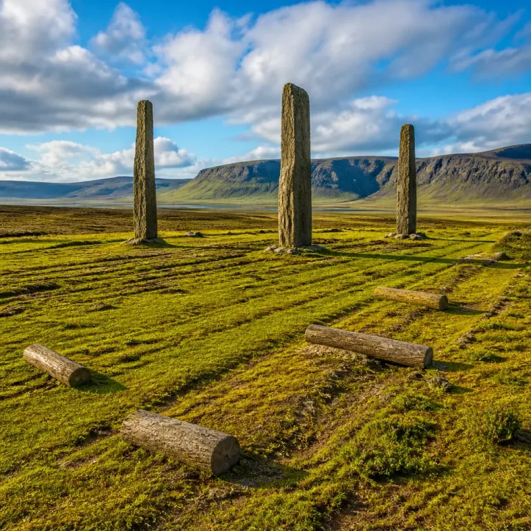

Satellite-altimetry measurements covering 1992 through 2019 place Yathkyed Lake, in the tundra interior of Nunavut, among the natural lakes in North America with the most pronounced long-term increases in water level. The study found an average rise of about 5.5 centimetres per year over the 27-year period, a trend that remained notable even after removing shorter-term climate variability (revised to about 4.8 cm per year).
What the measurements represent
These figures do not describe single-season floods or isolated wet years. Instead, the satellite study reported a statistically significant, persistent upward movement in average lake-surface elevation across the 27-year observation window. That distinction matters: a steady, multi-decade increase implies changes in the overall water balance of the lake’s basin rather than one-off weather events.
Why Yathkyed Lake is rising
The study notes several hydrological characteristics of the Yathkyed basin that help explain the sustained rise. In Nunavut’s tundra interior, winter snow is stored for months and then released rapidly during a short thaw season. Streams and wetlands across the surrounding basin funnel that seasonal pulse into lakes, while evaporation is limited by a long period of ice cover. Those processes together can sustain a persistent upward trend in lake level if the balance between inputs (snowmelt, runoff) and outputs (evaporation, outflow) shifts.
Regional context and the measurement method
The figures for Yathkyed Lake come from a continental comparison using satellite altimetry — a remote-sensing technique that measures water-surface elevation from space. Because the study used the same measurement approach and time span for a number of northern Canadian lakes, the reported increases are directly comparable across the set of long-term rising lakes identified between 1992 and 2019.
- Study period: 1992–2019 (27 years)
- Yathkyed Lake trend: ~5.5 cm/yr (adjusted to ~4.8 cm/yr after removing short-term variability)
- Measurement method: satellite altimetry
Below is a small table summarizing the available numeric results from the study for Yathkyed Lake.
| Lake | Measurement period | Average annual rise |
|---|---|---|
| Yathkyed Lake, Nunavut | 1992–2019 | 5.5 cm/yr (adjusted ~4.8 cm/yr) |
Local implications and considerations
Sustained increases in lake level over decades can have several broad implications for northern communities, ecosystems and land use. While the study does not document specific local impacts at Yathkyed, the following are general considerations when lake levels change over long timescales:
- Shoreline and wetland dynamics can shift, altering habitat for fish, waterfowl and other wildlife.
- Traditional travel routes over ice and along shorelines may be affected as ice regime and shoreline conditions evolve.
- Hydrological connections within a basin can change, potentially modifying stream flow patterns and wetland storage.
Because Yathkyed’s upward trend reflects a persistent change in basin water balance, continued monitoring is important for regional planning, harvesting practices and environmental stewardship.
Why monitoring matters
Long-term, consistent observations are essential to distinguish between short-term variability and persistent change. Satellite altimetry provides a way to detect such multi-decade trends across remote northern basins where in‑situ gauge records may be sparse or absent. For communities, hunters, harvesters and resource managers in Nunavut and similar regions, understanding whether a lake’s rise is temporary or sustained helps inform travel safety and long-range land and wildlife management.
These findings for Yathkyed Lake join a larger continental picture: some North American lakes show exceptional short-term rises documented by gauges, while others like Yathkyed display the strongest long-term upward trends detectable by satellite over recent decades. The distinction underscores the value of combining approaches — local measurements, Indigenous knowledge and remote sensing — to fully understand changing northern waterscapes.