An online satellite image scouted by an amateur camper has prompted the addition of a likely new impact structure to Canada’s geological record. The circular feature near Lake Marsal in Quebec’s Côte‑Nord region, first noticed in 2024, was visited by a team of researchers in October 2025 who found physical evidence consistent with an impact event.
From campsite search to scientific expedition
Joël Lapointe, who was planning a camping trip to the remote Côte‑Nord, spotted a pronounced circular depression on publicly available satellite maps and raised the possibility that it might be an impact crater. His inquiry triggered interest among scientists in Europe and North America and was raised at a meeting of the Meteoritical Society in 2024, where the site was listed as a possible impact structure in Quebec.
Planetary geologist Gordon Osinski, director of the Impact Earth database and a researcher at Western University, initially approached the claim with scepticism. Nonetheless, he organised and led an on‑site investigation to determine whether the feature could indeed be the product of a meteorite strike.
Challenging field conditions, convincing signs
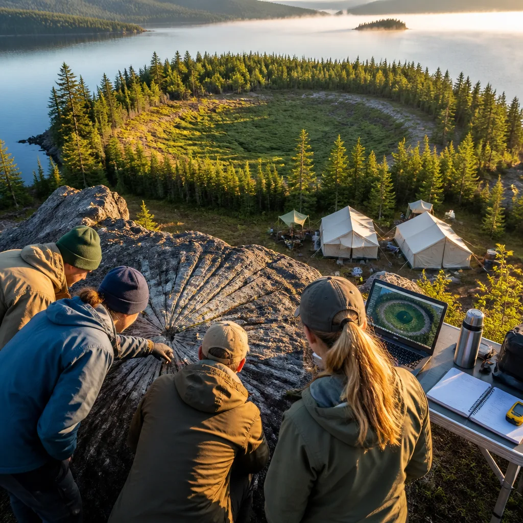
The research team reached the area by floatplane and confronted difficult terrain. The plane could not land directly at the intended shore, forcing team members to wade across roughly 50 metres (165 feet) of water carrying scientific equipment to reach land. The researchers described the landscape as rugged, swampy and heavily vegetated, with abundant biting insects.
"Deep, twisty, gnarly vegetation,"
Despite the harsh conditions, the scientists were able to examine rock outcrops around the lake. Earlier geological maps had interpreted the local breccia rocks as the product of a funnel‑shaped volcanic structure known as a diatreme. That interpretation changed markedly during the fieldwork: the team reported finding numerous shatter cones, a distinctive deformation pattern in rocks that is widely regarded as diagnostic of high‑pressure shock from an impact.
The presence of shatter cones led the investigators to conclude that the structure is more consistent with an impact origin than with the previously proposed volcanic explanation. If further analyses confirm the field observations, the feature would move from the category of a “possible” to a “confirmed” impact structure.
Where this fits in the global and national picture
Earth hosts roughly 200 confirmed impact structures, with geologists estimating that many hundreds more remain undiscovered beneath vegetation, water or sediment. In Quebec, researchers had already identified several impact structures; the Lake Marsal site would be the 11th such structure recognised in the province if confirmation follows.
| Metric | Value |
|---|---|
| Confirmed impact structures on Earth | ~200 |
| Possible new structure in Quebec | Lake Marsal (candidate for 11th in province) |
- Discovery originated from an amateur’s review of satellite imagery while planning a camping trip.
- Field expedition in October 2025 encountered rugged, swampy terrain and had to wade ashore after a floatplane approach.
- Shatter cones observed in multiple outcrops point toward an impact origin, challenging prior volcanic interpretations.
Further laboratory analyses of rock samples — including petrographic study and geochemical tests that can detect high‑pressure minerals or shock metamorphism — will be required to formalise the structure’s status. Confirmation typically involves peer review and inclusion in curated databases such as the Impact Earth database, which Osinski directs.
The case highlights how increasingly accessible remote sensing tools enable non‑specialists to spot features of scientific interest, and how professional scientists still need to do the difficult, on‑the‑ground work to verify hypotheses. For now, the Lake Marsal site stands as a strong candidate to join the roster of terrestrial impact structures and to enrich understanding of Canada’s geological past.