
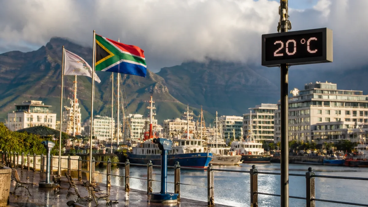
The Western Cape will wake to coastal rain showers this Saturday as an unsettled weather system affects much of the country, the latest bulletin shows. Cape Town is expected to peak at 20°C and drop to around 14°C, with winds from the south-southeast at about 15 km/h.
Coastal rain and cool conditions in the Mother City
Across the province, the weather will be fresher than inland areas. The South African Weather Service (SAWS) forecast included rain along the Western and Eastern Cape coasts, with towns such as Stellenbosch and Paarl seeing daytime temperatures in the low 20s and coastal towns like George close to 19°C.
For Cape Town specifically, SAWS lists the day's conditions as rain showers with a forecast high of 20°C and a low of 14°C. The bulletin shows gusts from the SSE at 15 km/h, increasing at times later in the weekend.
Short-term outlook: seven-day snapshot for Cape Town
| Day | Condition | High | Low | Wind |
|---|---|---|---|---|
| Sat 26 Sep | Rain showers | 20°C | 14°C | SSE 15 km/h |
| Sun 27 Sep | Cloudy | 18°C | 14°C | SSE 25 km/h |
| Mon 28 Sep | Partly cloudy | 22°C | 12°C | ESE 10 km/h |
| Tue 29 Sep | Clear skies | 26°C | 11°C | ESE 10 km/h |
| Wed 30 Sep | Clear skies | 27°C | 11°C | NE 5 km/h |
National context and travel considerations
SAWS describes the day as a generally wet and unsettled Saturday nationally, with showers and thundershowers affecting Gauteng, KwaZulu-Natal, the Free State, Mpumalanga, North West and parts of the Northern Cape. While the Western Cape's main impact is coastal rain, other provinces face heavier rainfall and thunderstorms.
- Visibility warnings: Reduced-visibility alerts have been issued for parts of Limpopo, including Mogoto, Dendron and Tzaneen, and for Sabie in Mpumalanga. Drivers in those areas should exercise caution.
- Thunderstorm risk: Severe thunderstorm warnings are active for some northern and western localities, such as Garies and Springbok in the Northern Cape.
- General advice: Expect localised showers near the coast, possible slippery roads and brief squalls. Keep an umbrella and allow extra time for travel.
Commuters and holidaymakers leaving the city for the Winelands or the Garden Route should note that inland temperatures will be warmer and clearer through the week, with Cape Town turning sunnier and milder from Tuesday onwards. Coastal gusts on Sunday could make sea conditions choppier than usual.
What West Coast and Garden Route residents should know
Although the rain is mainly coastal, lowland and coastal suburbs can expect persistent drizzle and occasional heavier showers this morning. Residents in low-lying areas should monitor local drainage points during the heaviest falls. Garden Route towns such as George are forecast to be cooler, with daytime temperatures near 19°C and nocturnal lows around 15°C.
Authorities and outdoor event organisers should keep an eye on SAWS updates for any changes to warnings, especially if thunderstorm activity increases inland, which can alter local wind patterns along the coast.
The unsettled spell forms part of a multi-day pattern: after the weekend cools and clouds, the Western Cape should see improving conditions from Tuesday, with clear skies and warmer days predicted for midweek.
Keep an eye on the SAWS website and your preferred weather app for live updates, warnings and any changes to wind or marine conditions that could affect ferries and coastal activities.
— Western Cape correspondent













