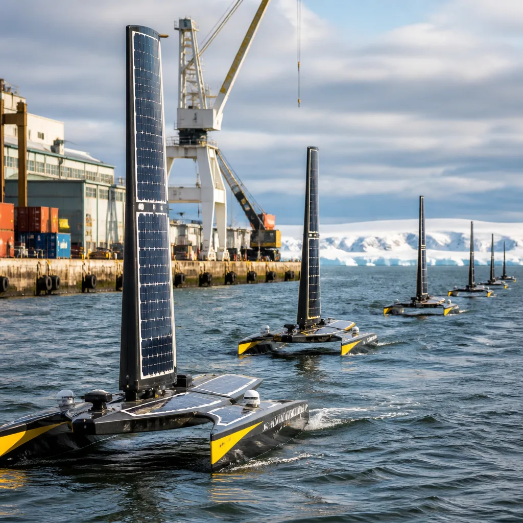
The first of a new fleet of uncrewed surface vehicles (USVs) has departed from CSIRO’s Hobart facility as part of a multi‑year effort to close major gaps in our knowledge of how the Southern Ocean takes up carbon dioxide (CO₂) from the atmosphere. The project, announced on 24 September 2026, will run for five years with deployments every quarter and involves South African and other international research partners.
What the mission will do
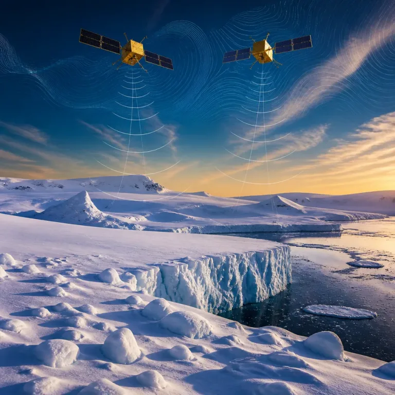
The USVs, manufactured by Saildrone, are autonomous surface craft that use a combination of wind and solar power to remain at sea for months at a time while streaming observations in near real time. Each deployment is expected to cover about 22,000 kilometres as the vehicles circumnavigate the Antarctic, collecting measurements in seasons and regions where ship traffic is scarce.
Oceanic sinks — the parts of the ocean that absorb and store CO₂ — remove roughly a third of the carbon dioxide emitted into the atmosphere each year. The Southern Ocean alone is estimated to account for about 40% of global ocean CO₂ uptake, yet scientists say existing observations are too sparse to estimate that uptake precisely across seasons and under changing climate conditions.
An international collaboration with South African participation
CSIRO is leading the effort in partnership with the US National Oceanic and Atmospheric Administration (NOAA); South Africa’s Southern Ocean Carbon‑Climate Observatory (SOCCO) and the Council for Scientific and Industrial Research (CSIR); Columbia University; the University of Washington; Schmidt Sciences through the Virtual Institute for the Carbon Cycle (VICC); and Saildrone.
CSIRO ocean biogeochemist Dr Elizabeth Shadwick said the campaign is the first sustained use of USVs in the Southern Ocean specifically designed to sample in seasons and locations that are currently under‑observed.
“The Saildrone USVs are expected to travel around 22,000 kilometres for each deployment, giving us unprecedented coverage of regions that we can’t get to with research vessels or commercial ships,” Dr Shadwick said, according to the project announcement.
NOAA scientist Dr Adrienne Sutton is reported to have emphasised how combining a range of new technologies will help researchers identify what drives variability in CO₂ uptake across the Southern Ocean.
Why this matters for South Africa
The Southern Ocean borders the sub‑Antarctic waters south of South Africa and plays a central role in regional climate and marine ecosystems. Improved estimates of carbon uptake are important for national and international carbon budgets, for models that inform climate policy, and for regional oceanography research programmes involving South African institutions such as SOCCO and the CSIR.
Better observational coverage can also improve understanding of how processes such as ocean mixing, biological productivity and temperature changes influence the rate at which CO₂ is drawn down and stored. Those processes affect not only global climate trajectories but also marine resources and fisheries that South African science and policy makers monitor.
Capabilities and limitations
USVs offer continuous, repeated observations at relatively low cost compared with repeated ship voyages. They are, however, complementary tools: the vehicles cannot replace the broader range of instruments and sample collection possible from research vessels, nor can they by themselves resolve every scientific question about ocean carbon processes.
- Duration: Five‑year programme with quarterly deployments.
- Range per deployment: About 22,000 km circumnavigating Antarctica.
- Energy: Wind and solar powered, capable of months at sea.
- Partners: CSIRO, NOAA, SOCCO, CSIR, Columbia University, University of Washington, Schmidt Sciences/VICC, Saildrone.
The initiative is explicitly designed to fill observational gaps in both time (seasonal coverage) and space (remote sectors of the Southern Ocean). The new observations will feed into international carbon cycle research and should help refine estimates used by climate modellers and policy makers.
This campaign illustrates a wider trend in ocean science: deploying autonomous platforms to extend human and ship‑based capabilities into parts of the ocean that are costly or dangerous to visit frequently. For South African scientists engaged with SOCCO and the CSIR, the additional data will strengthen regional contributions to global climate assessments and improve the scientific basis for national and international climate decisions.