
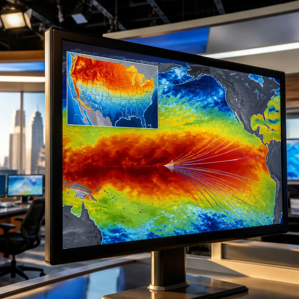
The tropical Pacific is heating up rapidly and climate models indicate a high probability that the current El Niño will intensify into a Super El Niño before the end of the year, a development that could reshape weather patterns across the United States this winter.
What the forecast says
Federal climate forecasters and independent model guidance show the event strengthening through autumn, with a forecast window placing Super El Niño conditions in place no later than October. By year-end, the event carries about a 70% chance of becoming the most intense El Niño on record, according to the National Oceanic and Atmospheric Administration and associated research centers.
“Something that’s very unusual, if not a once in a lifetime type of (strength),” said Nat Johnson, a meteorologist at NOAA's Geophysical Fluid Dynamics Laboratory.
Forecasters stress that a record-strong ocean warming does not automatically translate into record-breaking weather everywhere; rather, it amplifies the likelihood of certain large-scale patterns that tend to accompany strong El Niño events.
How El Niño influences U.S. winter weather
El Niño alters the arrangement of atmospheric circulation across the Pacific and North America. One of the principal consequences is a southward shift of the jet stream — the fast-flowing upper-level river of air that steers storms. When the jet moves farther south than usual, storm tracks favor the southern tier of the country.
- Southern U.S.: Increased storminess with a higher chance of wetter, cooler-than-average conditions.
- Northern U.S. and parts of the Northeast: Tendency toward warmer and drier conditions, which can mean below-average snowfall in many areas.
- Variability remains: Individual El Niño events differ, and local outcomes depend on other atmospheric factors as well as storm timing.
In practice, that pattern typically brings more frequent rain-bearing systems to states along the Gulf Coast and the southern tier, while much of the northern Plains, Midwest and parts of the Northeast veer toward milder and drier conditions than might otherwise be expected.
Impacts and consequences
Because El Niño affects broad circulation patterns, its consequences extend beyond temperature and precipitation averages. Utilities, agriculture, water managers, and emergency planners monitor these outlooks to adjust seasonal preparations. For example, wetter conditions in southern states can increase flood risk and complicate transportation, while drier conditions in the north can reduce winter water inputs and affect snowpack-dependent water supplies.
Energy demand patterns also shift: milder winters in the north can reduce heating demand, while increased storminess in the south can raise short-term power disruption risks. The public is urged to track official seasonal outlooks and local forecasts as conditions evolve.
Probabilities and timeline
Climate scientists use ensembles of model runs to estimate the likelihood and timing of El Niño development. Current guidance shows rapid intensification through late summer into fall.
| Key item | Current assessment |
|---|---|
| Forecasted strength | Super El Niño likely |
| Timing | No later than October for Super status; high probability by year-end |
| Probability of record strength by year-end | ~70% |
Scientists caution that while averages and odds shift with a strong El Niño, the atmosphere remains capable of producing a wide range of weather. Local impacts will hinge on how the jet stream organizes and on interactions with other climate drivers.
Forecasters and research labs continue to update predictions as new observations and model runs become available. Residents and agencies should follow updates from the National Weather Service and NOAA for regionally specific outlooks and preparedness guidance as the season approaches.
Coverage of the evolving El Niño will continue as agencies refine seasonal projections and as potential impacts on water, energy and emergency planning become clearer.














