
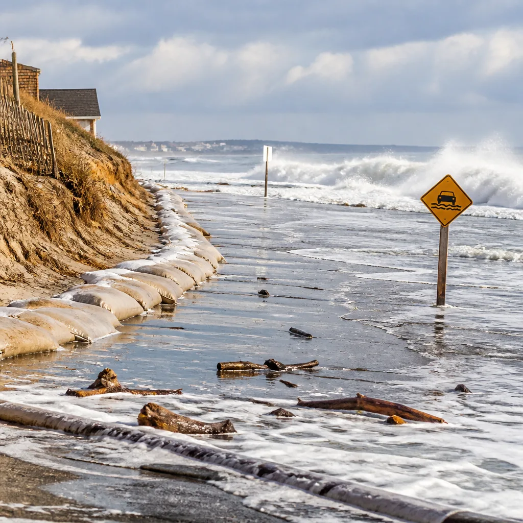
A strong nor'easter developing over the Atlantic is expected to track northward off the Mid-Atlantic coast through the weekend, producing notable coastal impacts for parts of Maryland despite the storm remaining offshore.
Fringe impacts expected across Maryland coastline
Although the center of the storm will stay over the ocean, the system's size and intensity mean Maryland will see several weather effects, especially along the Chesapeake Bay and Atlantic shorelines. Officials have highlighted concerns about coastal flooding, beach erosion, gusty northeast winds and the possibility of spotty showers.
Forecasters say the most immediate risk is tied to high tide cycles later Thursday and into Friday. A coastal flood warning has been issued for portions of Anne Arundel County during those tides for expected moderate coastal flooding. Models and guidance cited in local forecasts indicate as much as 1 foot of water above dry ground could occur during early morning high tides in affected areas.
| Forecast element | Expected values / impacts |
|---|---|
| High temperatures (Thursday) | Mid to upper 60s Fahrenheit |
| Overnight lows (Thursday night) | Mid to upper 40s inland; wind-chill as low as lower 40s |
| Wind direction/speed | Northeast at 10–20 mph, gusts to 25–30 mph |
| Coastal flooding | Moderate in some areas; up to 1 foot above dry ground during high tides |
Where impacts are most likely
Coastal flood warnings extend beyond Anne Arundel County across central and southern portions of the Chesapeake Bay and into back-bay areas near Ocean City, including the Ocean City inlet, according to local forecasting offices. Atlantic Ocean beaches from Assateague Island northward to the Delaware beaches are expected to see a prolonged period of large waves and potential beach erosion.
While many inland communities are likely to remain dry, communities along the immediate coastline and in low-lying bayfront neighborhoods should prepare for periodic inundation during peak tides and for wave action that could erode dune systems and shorelines.
Timing and human impacts
The nor'easter will strengthen offshore on Thursday and gradually move north along the eastern seaboard through the weekend. Thursday begins on a chilly note across parts of the state, with wind-chill values as low as the lower 40s in some locations. Daytime highs are expected to be seasonably cool, while Thursday night will be another chilly night for many.
- Residents in coastal neighborhoods should plan for temporary flooding during high tide cycles Thursday and Friday.
- Beachgoers should expect large waves and heightened erosion risks from Assateague Island to the Delaware coastline.
- Gusty northeast winds may produce hazardous conditions for small craft and create localized wind damage or downed branches in exposed areas.
Local emergency management agencies and public works departments typically monitor these events for road closures and to respond to flooding at vulnerable low-lying intersections. Residents in affected areas are advised to follow updates from official local weather offices and municipal authorities as the storm evolves.
As the system remains offshore, its exact track and intensity will determine how far impacts penetrate inland. Continued monitoring through the weekend is warranted, particularly for communities along the Chesapeake Bay and barrier island beaches that face the greatest combination of tides, waves and onshore wind.
Forecasters will refine timing and inundation estimates with subsequent model runs; residents should consult official forecasts for the latest warnings and guidance.














