
The Municipal Corporation Gurugram (MCG) has commissioned a technology‑driven plan to strengthen the city’s rainwater management after IIT‑Gandhinagar identified 273 sites suitable for rainwater harvesting and mapped drainage deficiencies, officials said.
Data, drones and sensors used to trace water flow
MCG Commissioner Pradeep Dahiya said the exercise combined a drone survey, an elevation model of low‑lying areas and a geographic information system (GIS) mapping of stormwater drains to identify hotspots where rainwater accumulates or fails to drain effectively.
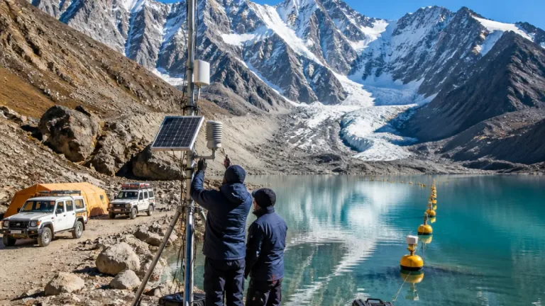
As part of the study, the institute installed around 20 sensors at different locations and integrated those readings with drone survey data to assess movement of rainwater and locate potential bottlenecks during heavy rainfall. The findings were presented on a dashboard that maps rainwater movement across the city, the official said.
"Technology had been extensively used to identify waterlogging hotspots and drainage deficiencies,"
Dahiya added that the work follows an earlier aquifer‑mapping study carried out in 2012 to understand how rainwater flows and accumulates in Gurugram.
Planned interventions: drains, ponds and storage
The MCG plans to lay stormwater lines where required, particularly on roads measuring 9 to 12 metres in width — stretches where dedicated drains are generally absent and runoff flows by gravity. Such lines will also be provided in low‑lying localities identified as having drainage deficits.
Separately, the civic body has secured 272 acres of land near Wazirabad after a legal process. The site will be used to develop open ponds and underground tanks to conserve rainwater for use during lean periods, the MCG said.
Officials said several preparatory steps had already been taken ahead of the monsoon season. At present, 418 rainwater harvesting systems are operational across the city, 74 ponds have been dewatered and revived, and 169 pumps were deployed in low‑lying areas to drain accumulated water, Dahiya told reporters.
Targeted, localised approach to waterlogging
MCG described waterlogging as largely localised and cited Bahrampur village as an example where a targeted intervention has reduced flooding. Rainwater from the village earlier flowed towards National Highway‑48 and caused waterlogging; a dedicated drain has now been provided, reducing the problem, the commissioner said.
- 273 locations identified for rainwater harvesting by IIT‑Gandhinagar
- 20 sensors installed to monitor water movement
- 272 acres of land acquired near Wazirabad for ponds and underground tanks
- 418 rainwater harvesting systems currently functional in the city
The combined approach aims to reduce dependency on emergency pumping and ad hoc measures by improving long‑term storage and flow management. A dashboard produced from the study will help authorities prioritise locations for stormwater lines and other infrastructure works.
| Measure | Current/Planned |
|---|---|
| Rainwater harvesting sites identified | 273 |
| Sensors installed for study | ~20 |
| Land near Wazirabad secured | 272 acres |
| Operational rainwater harvesting systems | 418 |
Officials said the findings will guide where stormwater lines are required, especially on narrower roads lacking dedicated drains, and where to prioritise pond revival and underground storage to conserve water. The MCG has already revived several ponds and deployed pumps in pockets that experience recurrent inundation.
By combining sensor data, drone imagery and GIS mapping, the civic body aims to move from reactive responses to a planned, evidence‑based strategy for rainwater management, reducing localized flooding and increasing groundwater recharge over time.