
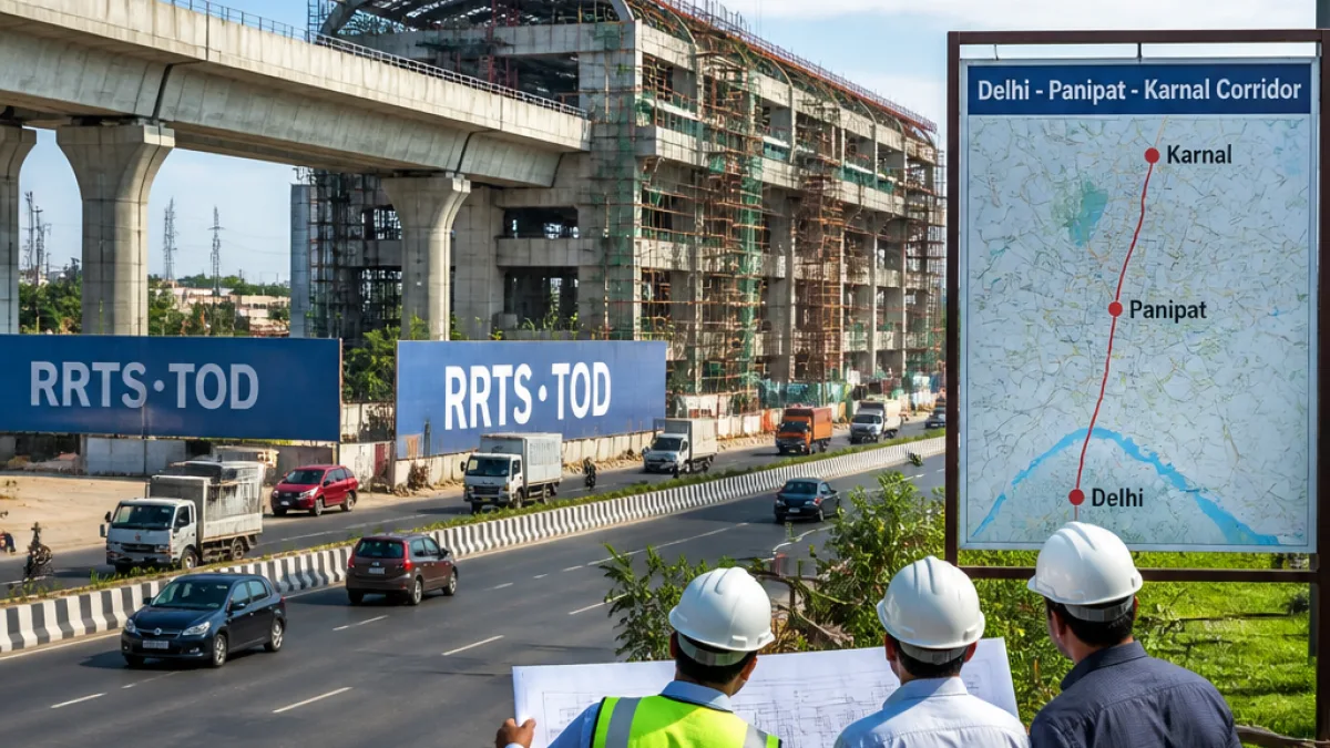
State notification adds 136.30-km RRTS corridor to TOD list
The Haryana government has inserted the Delhi–Panipat–Karnal Namo Bharat Regional Rapid Transit System (RRTS) corridor into the state’s Transit Oriented Development (TOD) Policy, the Town and Country Planning Department said in a notification issued on September 22.
The alignment, spanning 136.30 km, forms part of Phase‑I of the National Capital Region Transport Corporation (NCRTC) programme and will link Delhi with Sonipat, Panipat and Karnal along National Highway 44. The corridor is estimated to cost between ₹33,000 crore and ₹34,740 crore, with the Haryana government due to provide its sanctioned phased share, according to the notification cited by state authorities.
"With immediate effect, the Delhi‑Panipat‑Karnal Namo Bharat RRTS Corridor has been added to the list of Mass Rapid Transit System (MRTS) corridors eligible for TOD planning," the notification said.
Haryana's amendment brings the corridor formally into the annexure of the 2016 TOD Policy following a request by the Haryana Mass Rapid Transport Corporation (HMRTC). The move makes areas around proposed stations eligible for TOD planning—an instrument used to concentrate mixed‑use development around transit nodes to promote higher public transit use and coordinated urban growth.
Stations affecting Panipat and nearby towns
The corridor will originate in Delhi, converging at the Sarai Kale Khan hub, and pass through multiple towns and proposed stations. For the Panipat area the notification lists the following stations:
- Panipat City
- Sewah
- Samalkha
- Sector 18 (listed as a future station)
Other alignment points named in the notification include Narela, Kundli, Sonipat, Murthal, Ganaur, Gharaunda and Karnal, with additional proposed and future stations recorded for the wider corridor.
| Section | Stations mentioned |
|---|---|
| Panipat | Panipat City, Sewah, Samalkha; Sector 18 (future) |
| Karnal | Karnal ISBT, Sector 7, Gharaunda, Kohand; Karnal Bypass (future) |
What this means locally
Inclusion under the TOD policy enables coordinated land‑use and transport planning in the vicinity of the listed stations. That typically involves density and zoning measures, potential incentives for mixed‑use development, and requirements for last‑mile connectivity. State authorities said the corridor had already been approved by the government on the recommendation of HMRTC before being added to the TOD annexure.
Locally in Panipat, the amendment has been received as a formal step towards aligning station areas with planning regulations and may shape future urban development patterns. The notification does not, however, specify construction start dates or phased timelines for the corridor; project timing and execution remain subject to approvals, funding and detailed project planning under NCRTC and relevant state agencies.
Officials noted the corridor was announced initially in 2014 and later extended to include Karnal. Karnal's inclusion in the National Capital Region on June 9, 2015, is recorded in the notification as part of the broader regional planning context that underpins the RRTS proposals.
Next steps and expectations
- HMRTC's request to include the alignment in the TOD annexure has been accepted by the Town and Country Planning Department.
- TOD status permits station‑area planning aligned with the state’s 2016 policy but does not by itself authorise construction.
- Further action will depend on detailed project financing, NCRTC timelines and inter‑agency coordination between state and central bodies.
For Panipat residents and businesses, the immediate practical effect is that areas around the named stations can now be planned under TOD principles, which may influence land use, building regulations and infrastructure provisioning as the corridor advances through statutory and implementation stages.