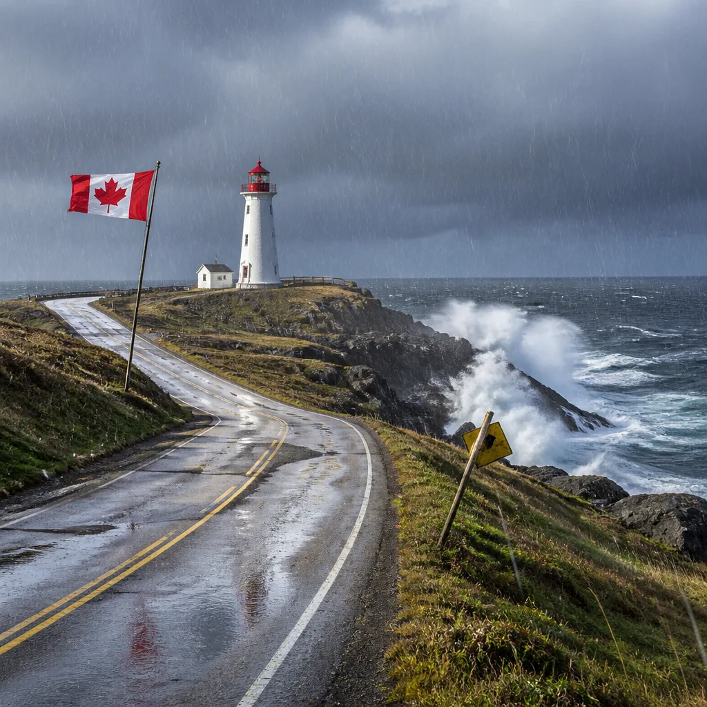
Rain and gusty winds will continue across large sections of Newfoundland today, while inland Labrador locations will see largely sunny skies. Residents and travellers should expect steady precipitation, pockets of heavier rainfall and sustained gusts along exposed coasts that could briefly exceed 60 km/h.
What to expect today
In the St. John’s and Bonavista region, steady rain will taper to lighter showers and drizzle this afternoon. Forecasters are calling for about 5 to 10 mm of precipitation in St. John’s, with Bonavista generally seeing between 10 and 20 mm and isolated amounts up to 30 mm in the heaviest bands. Early this morning there was a risk of an isolated thunderstorm near St. John’s.
Wind will be a notable feature: gusts near 60 km/h are expected to ease as the day progresses, although sections of the coastline experienced stronger gusts up to 80 km/h this morning and into the early afternoon. Daytime highs will be mild, around 17 C for most locations, with warmer inland readings near 21 C where winds are lighter.
Coastal and central outlook
The south coast will see showers this morning, with generally light rainfall totals of about 2 to 4 mm and northeast winds gusting to 60 km/h. The immediate south coast high is forecast near 15 C.
Central areas such as Gander are forecast to receive heavier totals, with roughly 10 to 20 mm expected and localized amounts up to 30 mm where the rain is heaviest. Northeasterly winds will gust around 60 km/h, keeping temperatures cooler, near 13 C today.
| Region | Expected rain | Wind gusts | High (C) |
|---|---|---|---|
| St. John’s | 5–10 mm | Gusts to 60 km/h | 17 |
| Bonavista | 10–20 mm (up to 30 mm) | Gusts to 60–80 km/h | 14 |
| South coast (Channel–Port aux Basques) | 2–4 mm | Gusts to 60 km/h | 15 |
| Central (Gander) | 10–20 mm (up to 30 mm) | Gusts to 60 km/h | 13 |
Tonight and Monday
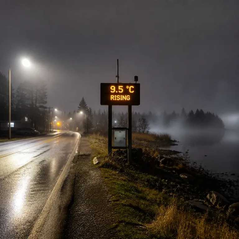
Overnight, drizzle and patchy fog are expected to develop in many coastal communities, with light additional rainfall—about 2 mm in St. John’s and 2–4 mm at Bonavista. Winds will ease somewhat but remain breezy in exposed areas. Temperatures will be steady to slightly cooler overnight, with lows near 13–15 C depending on location.
On Monday, showers are likely to continue for portions of the island, though most areas will see a reduction in intensity. St. John’s can expect roughly 5 mm of showers and a high near 18 C, while Bonavista should top out near 17 C. Fog patches are expected to lift during the morning in many regions.
- Be prepared for brief heavy downpours—locally up to 30 mm—especially in central zones and along the Bonavista coast.
- Coastal locations may experience strong gusts, sometimes exceeding 60 km/h; secure loose outdoor items and take care when driving high-profile vehicles.
- Expect reduced visibility in areas of fog tonight and into Monday morning.
UV levels will remain low to moderate during the next 48 hours, with indices generally in the 1–4 range depending on cloud cover and time of day.
Keep an eye on updates from Environment and Climate Change Canada for any changes to wind or rainfall warnings. Road conditions can deteriorate quickly in heavy rain and areas of fog—allow extra time for travel and exercise caution near exposed shorelines.