
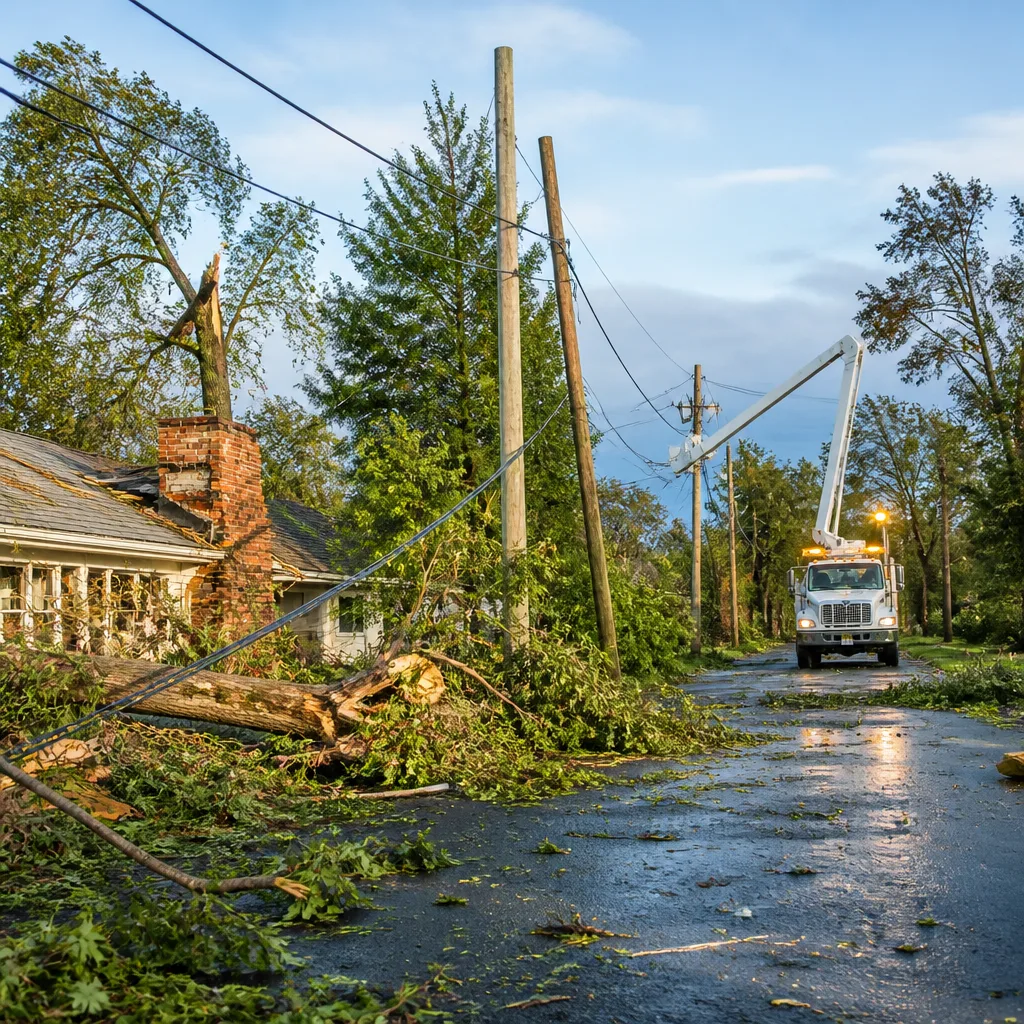
Thousands of households in the Ottawa-Gatineau region were left without power Thursday morning after a series of strong thunderstorms swept through the area late Wednesday, toppling trees, ripping off chimneys and dumping intense rain and hail in a short span.
Rapid, damaging conditions
Environment Canada records show the Ottawa International Airport weather station measured 22 millimetres of rain in 26 minutes and a wind gust of 107 km/h during the event — the strongest gust recorded at that site since the May 2022 derecho. Residents reported large hail and sudden, intense winds that caused structural damage in neighbourhoods across the city.
Locals described dramatic scenes as the storm arrived. One resident, whose chimney was destroyed when a falling tree struck her home near Merivale Road and Meadowlands Drive, said:
“All of a sudden I could see the rain starting, there was a storm coming, and I looked out our back windows and saw lightning. Then a few seconds later it [went] all white like a snowstorm.”
Another resident reported significant hail accumulation: “We had about [four to six centimetres] of hail, of ice on our deck in the back,” he said.
Warnings and emergency alerts
Environment Canada meteorologist Peter Kimbell told reporters that a severe thunderstorm watch was issued early Wednesday afternoon but that no severe thunderstorm warning was in effect until the storm had already begun to impact parts of the region. He said officials did not anticipate the strength of the winds or the extent of the damage, and acknowledged the warning was issued late.
“We did not expect the winds, the impact to be so strong.… The warning did come out late,” Kimbell said.
Kimbell also noted how emergency phone alerts are triggered, saying they would have been activated if a tornado warning or a red-level severe thunderstorm warning — defined by winds of at least 130 km/h — had been issued.
Local impacts and response
Across Ottawa-Gatineau, municipal crews and utilities were responding to reports of downed trees, snapped branches and power lines. Photographs from the region showed large tree limbs sheared from trunks and debris strewn in parks and residential streets. Emergency services and local authorities urged residents to stay clear of downed power lines and to report outages and hazards through official channels.
- Power outages: Thousands of customers were without electricity Thursday morning.
- Rainfall: 22 mm recorded at Ottawa airport in 26 minutes.
- Peak gust: 107 km/h, the strongest since May 2022 at that station.
- Hail reports: Local residents described 4–6 cm of hail accumulation on decks.
Measurements from Ottawa International Airport station
| Measurement | Value |
|---|---|
| Rainfall (26 minutes) | 22 mm |
| Peak wind gust | 107 km/h |
Officials said emergency alerts are reserved for the most severe warnings; under current protocols, alerts would be issued for tornado warnings or red-level thunderstorm warnings where winds reach or exceed 130 km/h. Because the measured gust in this storm fell below that threshold, the system did not automatically trigger mass phone alerts despite the significant local impacts.
Damage assessments and power-restoration efforts were ongoing through Thursday. Utility crews typically prioritise repairs that restore service to critical infrastructure and concentrated groups of customers first, then proceed to isolated outages once hazards such as downed trees and live wires are cleared.
The overnight event is the latest in a string of severe summer storms to affect the National Capital Region, underscoring ongoing challenges for emergency preparedness and public communication when intense convective storms develop quickly.
Residents are being asked to heed local advisories, avoid travel where roads are blocked or covered with debris, and to report hazards to municipal and utility emergency lines. Further updates were expected from Environment Canada and local authorities as crews complete damage surveys and restore services.