
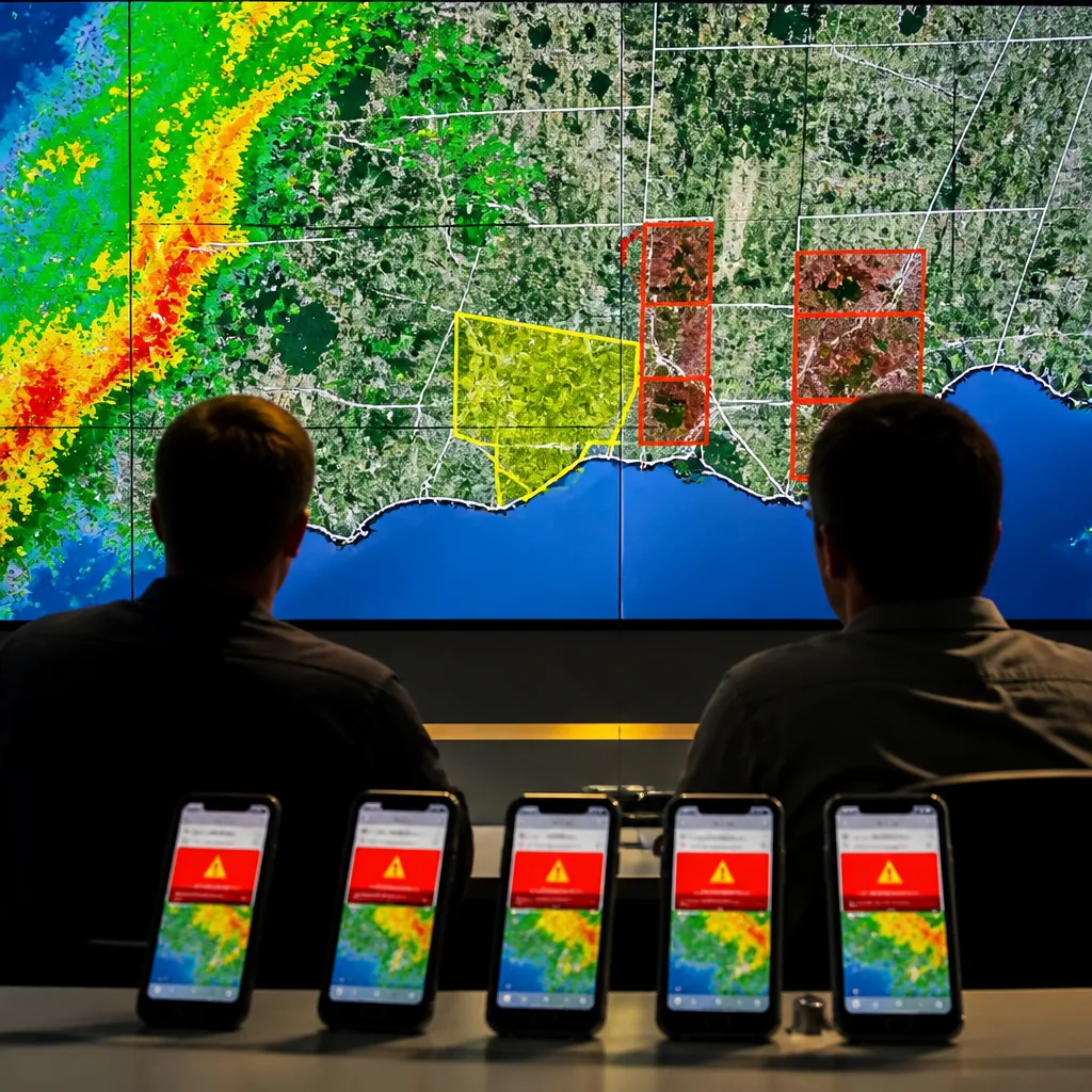
Environment Canada has launched a more precise warning system for severe thunderstorms and tornadoes that limits alerts to the specific areas forecasters expect will be affected, the department said.
What’s changing and why it matters
Starting today, warnings for the most dangerous convective events will be issued using a new, perimeter-based method. Instead of broadcasting a single warning across broad regions or entire municipalities, meteorologists can now draw a detailed polygon around the neighbourhoods or corridors most at risk and push alerts to phones located inside that shape.
Officials say the change is intended to tackle what they describe as
"alert fatigue"— the phenomenon where people become desensitised after receiving frequent, general warnings that may not apply to their exact location. By narrowing the footprint of severe thunderstorm and tornado alerts, Environment Canada aims to make each notification more salient and actionable.
How the new system will work
The revised protocol affects only severe thunderstorm and tornado warnings. Other types of advisories, such as heat warnings and thunderstorm watches, will continue to use broader coverage areas.
- Forecasters can create a drawn perimeter that represents the area most likely to be impacted.
- Alerts will be sent to mobile phones located within that perimeter through the existing emergency alert infrastructure.
- The new approach focuses on reducing unnecessary notifications while preserving rapid notification for people in immediate danger.
Limiting alerts to a tighter zone is intended to increase public trust in warnings and reduce the chance that people will ignore future messages. For those inside the defined area, the message will be more closely matched to their real-time risk.
Context and expected impacts
Canada has a wide range of climates and population densities, from dense urban cores to remote rural areas. Under the previous practice, an entire county, regional municipality or weather zone could receive a warning even if only a small portion of that area was in the storm’s path. That approach contributed to a large volume of alerts reaching people not imminently threatened.
By contrast, the polygon method is commonly used in other countries and in private-sector nowcasting systems, where it helps emergency managers and the public prioritise protective action. For Canadians, the immediate benefit should be fewer interruptions from emergency notifications that are not locally relevant, which could in turn improve responsiveness when truly localised severe weather strikes.
However, the change places added responsibility on forecasters to accurately identify the area at highest risk. Rapidly evolving thunderstorm behaviour — such as quick development, change of track or merging cells — can challenge even high-resolution tools. Environment Canada’s update pairs the new dispersal method with existing radar and forecasting capabilities; the department did not announce a change to the underlying observational systems in the material provided.
How to respond when you receive an alert
Even with more targeted alerts, residents should treat warnings as actionable. Practical steps include:
- Moving indoors and away from windows;
- Securing outdoor items that can become projectiles in high winds;
- Seeking lower ground if flooding or hail is a risk;
- Monitoring updates from Environment Canada for changes in the warning perimeter or severity.
Officials continue to encourage people to have a plan for sudden severe weather and to rely on multiple sources of information, including local media, station warnings and radar imagery when available.
| Before | After |
|---|---|
| Broad warnings across large zones or municipalities | Polygon-based alerts targeted to the likely impact area |
| Higher number of phone notifications | Fewer, more relevant notifications |
| All storm-related alerts broadly issued | Change applies only to severe thunderstorm and tornado warnings |
As the new system is used through the remainder of the storm season, public reaction and operational lessons will likely shape future refinements. For now, narrowing the focus of emergency alerts represents a deliberate effort to balance timely warning with public attention and safety.
Émile Gagnon
Weather Editor, WE NEWS










