NANAIMO — New surveillance technology installed on Mount Benson now provides Nanaimo and the central Island with a continuous, automated lookout for wildfires.
Wide‑angle view and machine intelligence
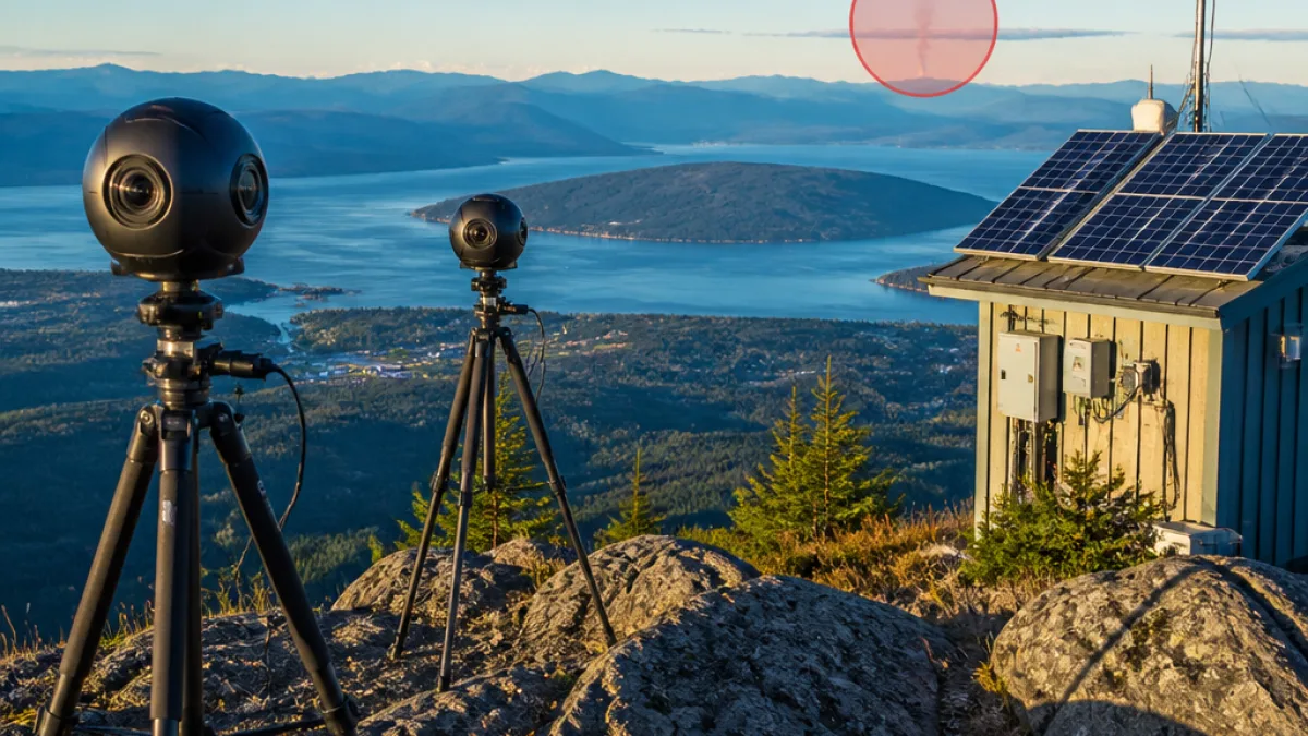
Mosaic Forest Management has mounted two 360‑degree cameras at the summit, linked to software that uses artificial intelligence to detect smoke signatures. According to Mosaic, each camera has a viewing radius of roughly 50 kilometres, allowing operators to monitor a vast swath of forested land from a single site.
The system is intended to reduce detection time and ease the workload on staff who traditionally rely on ground patrols and public reports. When the AI flags potential smoke, it sends a notification with a link that opens the live feed and directs users to the precise area of concern.
“When the cameras pick up a fire, they send you a notification with a link on it in your email or in a text. You open up the link, and it automatically takes you to where the fire is so you can see it yourself,” said Steve Mjaaland, director of forest protection.
Filtering false positives and improving confidence
Mosaic says the supporting software can distinguish between smoke, fog and cloud cover, and allows users to zoom in on an event to confirm whether it is an active fire. That capability is important on the mid‑Island, where coastal weather can create visual phenomena that look like smoke at a distance.
- Location: Mount Benson summit, overlooking Nanaimo and mid‑Island forests.
- Hardware: two 360° cameras providing continuous surveillance.
- Range: approximately 50 kilometres in any direction per Mosaic's description.
- Alerting: immediate notifications via email or text with live feed links.
How the alerts work
When AI identifies a candidate smoke plume, an alert is issued and staff can view a live feed to verify the observation. If required, Mosaic staff have the option to notify the Coastal Fire Centre so professional suppression resources can be mobilized.
| Feature | What it does |
|---|---|
| 360° cameras | Provide panoramic visual coverage from Mount Benson's summit |
| AI detection | Differentiates smoke from fog, clouds and other confounders |
| Notifications | Emails or texts with direct links to live video and location |
Local context and implications
For Nanaimo residents, the Mount Benson installation adds a layer of technological monitoring to existing wildfire preparedness measures. The cameras do not replace human judgment or fire crews, but they can shorten the time between ignition and detection — a critical factor in limiting the size and severity of wildfires.
Mount Benson’s vantage point already serves as a familiar landmark for the city; the new system harnesses that elevation to create a practical tool for forest protection. With the mid‑Island’s mix of coastal forests, seasonal dry weather and recreational backcountry use, earlier detection may improve response times and reduce the chance of small ignitions becoming large, complex incidents.
While Mosaic Forest Management operates the gear, the feeds and alerts integrate with regional response channels, including notification pathways to the Coastal Fire Centre. The company says the technology is designed to complement, not replace, existing detection and suppression systems.
As the wildfire season lengthens and climate trends affect fire behaviour, communities from Nanaimo to more remote Island towns are watching closely to see how new detection tools perform in practice. For now, the Mount Benson cameras offer residents and managers a new way to "watch the smoke" before it becomes unmanageable.