
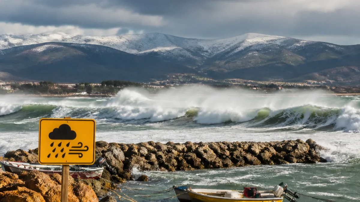
The South African Weather Service (SAWS) has issued a Yellow level 1 warning for the Eastern Cape coast for Wednesday, signalling a combination of strong winds, rough seas and very cold conditions across parts of the province.
What to expect
SAWS said a tight pressure gradient between a cold front passing along the south coast and a ridging high-pressure system will generate strong east to north‑easterly winds of at least 60km/h. Those winds will raise sea conditions to about four to five metres between Plettenberg Bay and Port Alfred, with waves moving in an easterly to south‑easterly direction.
“These winds are expected to enhance the sea state to about four metres to five metres between Plettenberg Bay and Port Alfred. The direction of the waves will be easterly to south-easterly,” the weather service said.
Cloudy, windy and cold to very cold weather is expected across central and eastern parts of the province, with isolated showers and rain locally and more scattered rain along the east coast and adjacent interior. Snowfall is still predicted for high-lying and mountainous regions.
Who and what could be affected
SAWS highlighted specific risks for marine and coastal activities. Small harbours and ports could face disruptions, and recreational beachfront activities are likely to be impacted. The warning emphasises that small vessels may struggle with navigation, face taking on water or capsizing, and some craft may drag their anchors.
- Marine operators: expect rough sea states (4–5m) between Plettenberg Bay and Port Alfred — navigation will be difficult for small vessels.
- Coastal communities: beachfront activities and small harbours may be disrupted.
- Motorists and commuters: strong winds and heavy showers could reduce visibility and make driving hazardous, especially in exposed areas.
Practical advice for residents and visitors
Officials and emergency services typically urge caution during Yellow warnings. Based on SAWS information and the likely impacts, practical steps include:
- Avoid launching small boats and postpone non‑essential marine activities in the warned area.
- Secure loose outdoor objects and avoid walking or parking close to exposed coastal structures.
- Drivers should reduce speed in strong crosswinds, keep a safe distance from other vehicles and be prepared for sudden gusts.
- Farmers and those with livestock in higher, cold areas should monitor animals closely for exposure and shelter where possible.
- Check weather updates regularly from SAWS and heed local municipal or harbour authority advice.
Local context and potential disruption
The Eastern Cape’s coastline is economically important for fisheries, tourism and small‑scale harbour activity. Even a Yellow warning — the lowest level on SAWS colour scale — can mean tangible disruption for these sectors when strong winds and rough seas combine. The forecast snowfall in mountain areas can also affect rural communities, transport routes and farm operations if conditions become more severe locally.
| Feature | Detail |
|---|---|
| Warning level | Yellow level 1 |
| Wind | East to north‑easterly, at least 60km/h |
| Sea state | About 4–5 metres (Plettenberg Bay to Port Alfred) |
| Weather | Cloudy, windy, cold to very cold; isolated showers and rain; snowfall in mountains |
Where to get updates
SAWS maintains live forecasts and warning updates on its website and social channels. Local municipalities, harbour authorities and emergency services will issue further safety notices if conditions deteriorate. Residents should follow official channels and avoid relying on unofficial social media reports.
This advisory is time‑sensitive. Those living in or travelling to coastal and high‑lying areas of the Eastern Cape should plan for disruptive weather on Wednesday and take sensible precautions to protect people, property and vessels.












