
Residents of the Northern Cape should expect another cool day with largely settled conditions across most of the province, but meteorologists warn of a chance of isolated showers and thundershowers in the western districts.
Where showers are most likely
The South African Weather Service (SAWS) has forecast a 30% chance of rain and thundershowers for north-western areas of the Western Cape and the western parts of the Northern Cape. Elsewhere in the Northern Cape the day is expected to be fine, with temperatures ranging from cool to warm depending on location and time of day.
Morning fog is likely along coastal strips, while inland areas that have been clear overnight may experience colder starts. Frost is possible in higher-lying inland districts early in the morning before temperatures recover.
Fire danger and winds
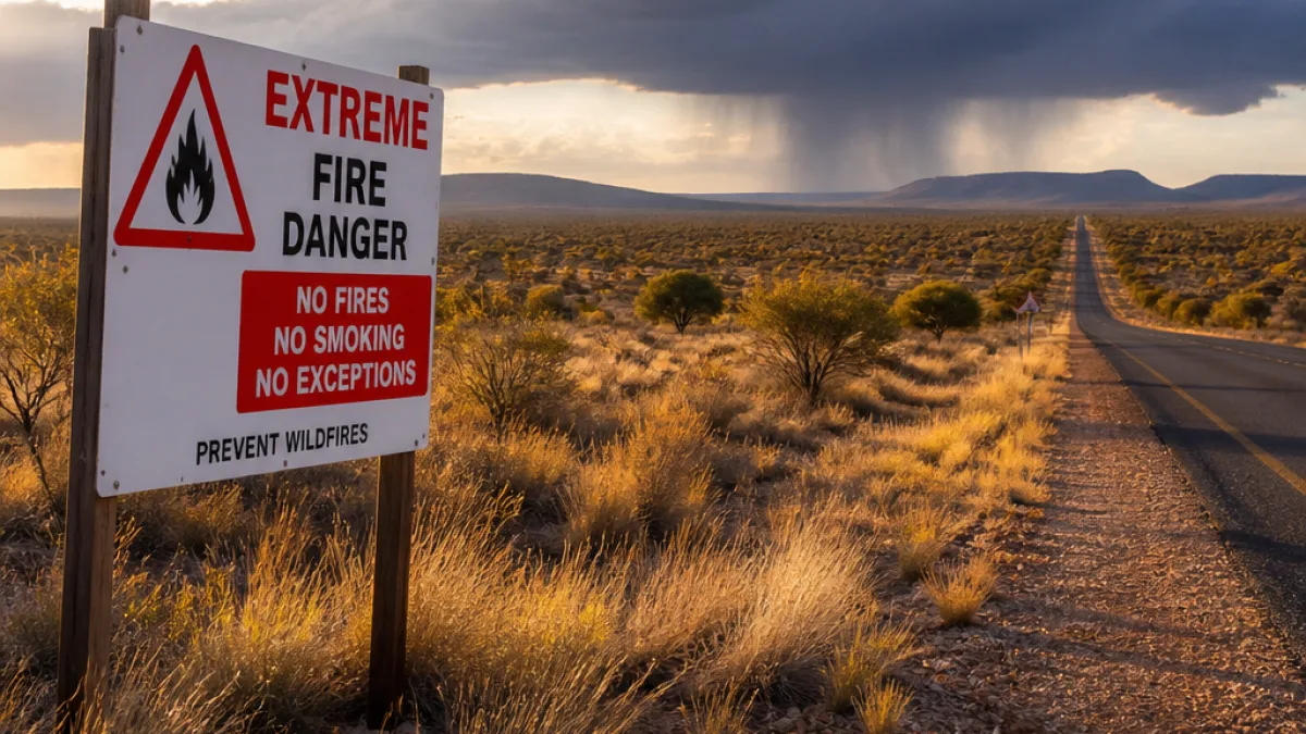
SAWS has issued no severe weather warnings for the day, but it has highlighted extremely high fire danger conditions for two local municipalities: the Karoo Hoogland Local Municipality in the Northern Cape and the Laingsburg Local Municipality in the Western Cape. Residents and land managers in those areas should remain vigilant and avoid open fires where possible.
North-westerly winds are expected to strengthen later in the day along the west coast, which can elevate fire risk and make conditions feel colder for exposed coastal communities.
What the rest of the country can expect
Much of the interior provinces — including Gauteng, Limpopo, Mpumalanga, North West and the Free State — will remain dry. The higher inland plateaux are likely to see cold mornings with frost in places, particularly over parts of Gauteng, the Free State, North West and the Mpumalanga Highveld and escarpment.
The Eastern Cape is forecast to be largely rain-free, with cool to warm conditions across both its western and eastern regions. KwaZulu-Natal should remain dry and generally cool, becoming warmer in the north-east during the day; a very high UVB sunburn index is expected along parts of the KZN coast.
- 30% chance of isolated showers and thundershowers in north-western Western Cape and western Northern Cape
- Extremely high fire danger for Karoo Hoogland (Northern Cape) and Laingsburg (Western Cape)
- No severe weather warnings issued nationally for the day
Practical advice for Northern Cape residents
Local authorities and the Weather Service urge residents to take sensible precautions during this cool spell:
- Avoid starting open fires, especially in areas flagged with extremely high fire danger.
- Drivers should be cautious of patches of fog along the coast and early-morning frost inland.
- Keep warm overnight and during early mornings when temperatures are at their lowest.
- Be prepared for strengthening north-westerly winds along the west coast later in the day.
| Area | Main forecast | Key risk |
|---|---|---|
| Western Cape (north-west) | Partly cloudy; 30% rain/thundershowers | Strengthening north-westerly winds |
| Northern Cape (west) | Cool; 30% isolated showers | Extremely high fire danger in Karoo Hoogland |
| Interior provinces | Dry and cool; frost possible | Cold mornings |
SAWS emphasises that while no severe weather warnings are current, localized thunderstorms can produce sudden changes in wind and visibility. Farmers, motorists and people working outdoors should monitor local forecasts and weather updates for any changes.
For the most up-to-date warnings and detailed regional forecasts consult the South African Weather Service website and local municipal advisories.












