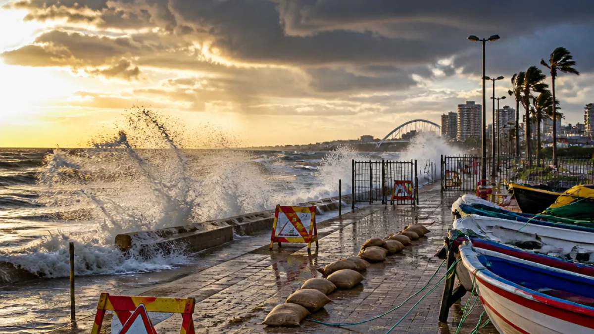
Warnings cover coast, north‑eastern interior and western KZN
The South African Weather Service (SAWS) has issued several impact‑based warnings that affect parts of KwaZulu‑Natal and neighbouring areas, with some alerts remaining in place through Tuesday 11 August 2026. The list includes yellow warnings for damaging winds and waves along the province's coastline and further yellow notices for disruptive rain and snow in areas adjoining the province.
The advisories highlight the potential for damage to infrastructure, disruption of coastal activities, and risks to life from flying debris. Motorists, coastal communities and small harbour operators have been urged to take extra care while these warnings are active.
What SAWS has cautioned
- Yellow Level 4 — Damaging Winds and Waves: Expected along the KwaZulu‑Natal coast. SAWS warned of disruptions to small harbours or ports, danger to navigation and damage to infrastructure.
- Yellow Level 4 — Damaging Winds: Forecast for the coast and the north‑eastern adjacent interior of KZN, raising the risk of damage to formal and informal settlements and injuries from flying debris.
- Yellow Level 2 — Disruptive Rain: Expected in the extreme southern and western parts of KwaZulu‑Natal, with the possibility of localised flooding of susceptible settlements, roads and bridges.
- Yellow Level 2 — Disruptive Snow: Some western parts of the province near the Lesotho border are included in a broader warning for disruptive snow extending across eastern and southern Free State into the western parts of KZN.
Practical advice for residents and travellers
Given the range of hazards, residents should take practical steps to reduce risk and remain informed.
- Secure loose outdoor items and move vehicles away from trees and unsecured structures.
- Avoid coastal and harbour activities until the warnings are lifted; small craft operators should refrain from going to sea.
- Allow extra time for travel and avoid flooded sections of road; do not attempt to drive through standing or fast‑moving floodwater.
- Monitor local municipal updates for reports of infrastructure damage, service disruptions or road closures.
- Keep a charged phone and a battery‑powered radio for weather updates should power be interrupted.
Where impacts are most likely
The strongest wind and wave impacts are expected along the coastal strip of KwaZulu‑Natal and the adjacent north‑eastern interior. The rain warning targets the extreme southern and western parts of the province where localized flooding could affect vulnerable roads and low‑lying communities. The disruptive snow alert covers western areas near the Lesotho border that are included in a wider Eastern Cape and Free State warning.
| Warning | Primary impacts | Areas affecting KZN |
|---|---|---|
| Yellow Level 4 (Winds & Waves) | Damage to small harbours, danger to navigation, coastal infrastructure damage | Province's coastline |
| Yellow Level 4 (Winds) | Damage to settlements, flying debris, injuries | Coast and north‑eastern adjacent interior |
| Yellow Level 2 (Rain) | Localised flooding of settlements, roads and bridges | Extreme southern and western KZN |
| Yellow Level 2 (Snow) | Localised traffic disruption, isolated loss of livestock, service interruptions | Western parts near Lesotho border |
How authorities are likely to respond
National and provincial emergency services typically monitor such warnings closely, prioritising rapid response where life or critical infrastructure is threatened. Local municipalities may declare temporary closures of vulnerable roads and ports, and request residents in flood‑prone areas to relocate to safer ground if necessary. Citizens should follow municipal social media channels and call centres for local instructions.
"Damaging winds and waves can lead to rapid changes in coastal conditions — small craft and beachgoers should exercise extreme caution," SAWS said in its advisory.
Keep checking SAWS updates and local municipal alerts for any escalation or lifting of warnings over the coming 24–48 hours. The current set of warnings remains in force into 10–11 August 2026, depending on where you are in the province.
For travel planning, consider postponing non‑essential coastal trips until conditions stabilise, and contact transport operators for the latest schedules. If you are in a vulnerable area, make a household emergency plan and keep essential items handy.
As conditions evolve, residents can get updates from the South African Weather Service and their local municipal emergency services. Stay safe and check on elderly or mobility‑impaired neighbours who may need assistance preparing for strong winds and possible flooding.