
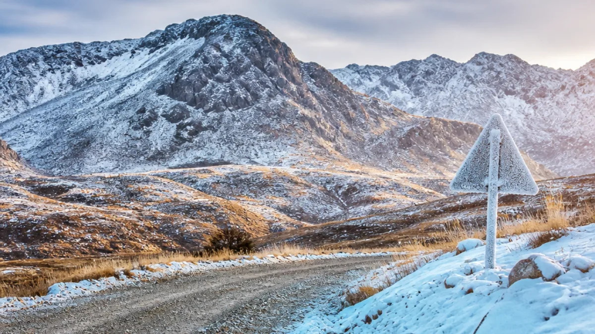
9 August 2026 — A cold front produced measurable snow on mountain peaks in several provinces on Sunday, with images from the Western Cape arriving around lunchtime and photographs from the Eastern Cape and Northern Cape later in the day, according to snowreport.co.za.
Where snow was reported and what is expected next
Snowreport.co.za said the initial falls were recorded on higher ground in the Western Cape, followed by reports from the Eastern Cape and Northern Cape. The site warned that a significant amount of snow could fall over the next few days, and included the possibility of snow in parts of Gauteng and Mpumalanga.
The sequence reported was:
- Western Cape — photos and reports from midday on 9 August.
- Eastern Cape — images and reports later in the afternoon.
- Northern Cape — photographic evidence received after the Western Cape reports.
- Gauteng & Mpumalanga — flagged as possible areas for snow in the forecast period that follows.
Local impact and preparedness
Snow at higher elevations can affect travel and local services. Motorists are advised to expect colder temperatures on exposed routes and to drive with caution where icy patches or slush may form. Rural communities that rely on mountain passes should monitor updates from road authorities and local municipalities.
Snowreport.co.za invited members of the public to share visual reports via WhatsApp and to include the location and time the images or video were captured. The site also cautioned that its WhatsApp link does not function inside the Instagram app, so users should first send a WhatsApp message and organisers will reply with a working link, the report said.
How and where to share photos
The weather website asked contributors to send photographs and video through their WhatsApp channel and to note when and where they were taken. It also set conditions for reuse:
- Standard users may share content using normal social sharing buttons.
- Other media outlets must request permission before embedding maps, forecasts, images or video that snowreport.co.za posts.
Practical advice for residents
Residents living in areas affected by mountain snowfall should consider the following precautions:
- Check road conditions before travelling and avoid unnecessary journeys over high passes.
- Carry warm clothing, blankets and a charged mobile phone when driving through rural routes.
- Be prepared for short-term service interruptions in remote areas where access may be impeded.
- Report hazardous conditions to local emergency services and municipal hotlines.
Forecast notes and follow-up
Snowreport.co.za said that the cold front was expected to continue producing wintry weather over the coming days. The site directs the public to its forecast maps for updated timing and to its WhatsApp channel for crowdsourced images. For official travel and road safety information, motorists should consult SANRAL or the relevant provincial traffic authorities.
| Province | Report timing on 9 Aug 2026 | Notes |
|---|---|---|
| Western Cape | Midday | Snow on higher peaks; photographic evidence received first. |
| Eastern Cape | Afternoon | Photographs submitted later in the day. |
| Northern Cape | Afternoon–evening | Images of snow reported after Western Cape photos. |
| Gauteng & Mpumalanga | Forecast period (next few days) | Possibility of significant snowfall flagged by the forecast. |
As always with rapidly changing weather, residents are advised to follow updates from professional meteorological services and to use official channels for road and safety information. Snowreport.co.za provided the initial photographic roundup and the public-facing channels for further submissions and clarification.












