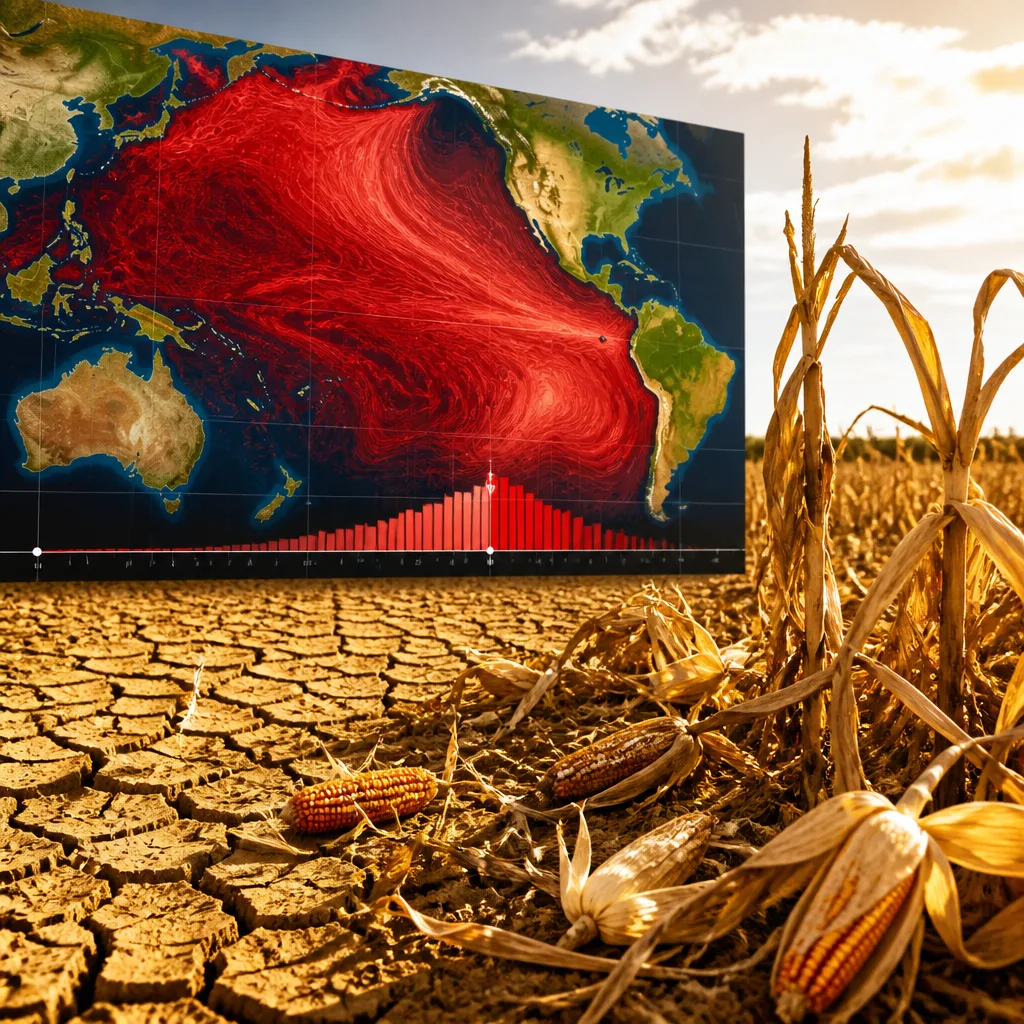
El Niño has reached a ‘very strong’ stage, and international forecasters warn it could reshape weather patterns through early 2027 and into autumn. The US National Oceanic and Atmospheric Administration (NOAA) reported on 14 September 2026 that ocean temperatures in the central and eastern Pacific have exceeded a rise of 2°C above average — the threshold many meteorologists use to classify a super or very strong El Niño.
What the agencies say
NOAA’s Climate Prediction Center said the event began developing in June 2026 and is expected to peak by early 2027, with persistence likely through the March–May 2027 period. The World Meteorological Organization (WMO) notes El Niño is a recurring climate pattern that typically appears every two to seven years, usually starting between March and June and peaking between November and February. An event can last up to 18 months.
Likely impacts for Southern Africa and beyond
El Niño affects global rainfall and temperature patterns. According to the international assessments, a very strong El Niño tends to bring the following broad outcomes:
- Heavier rainfall in East Africa, parts of South America and the southern United States.
- Drier conditions and drought across South Asia, Southeast Asia, Australia and Southern Africa.
- Warmer-than-average temperatures across large areas of the globe.
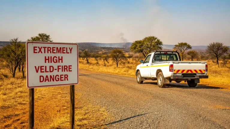
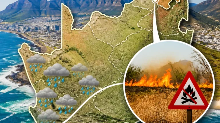
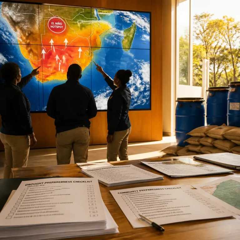
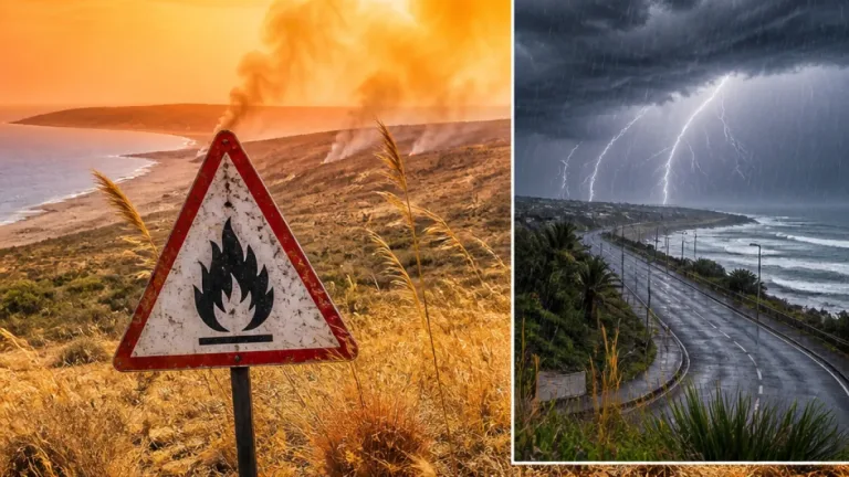
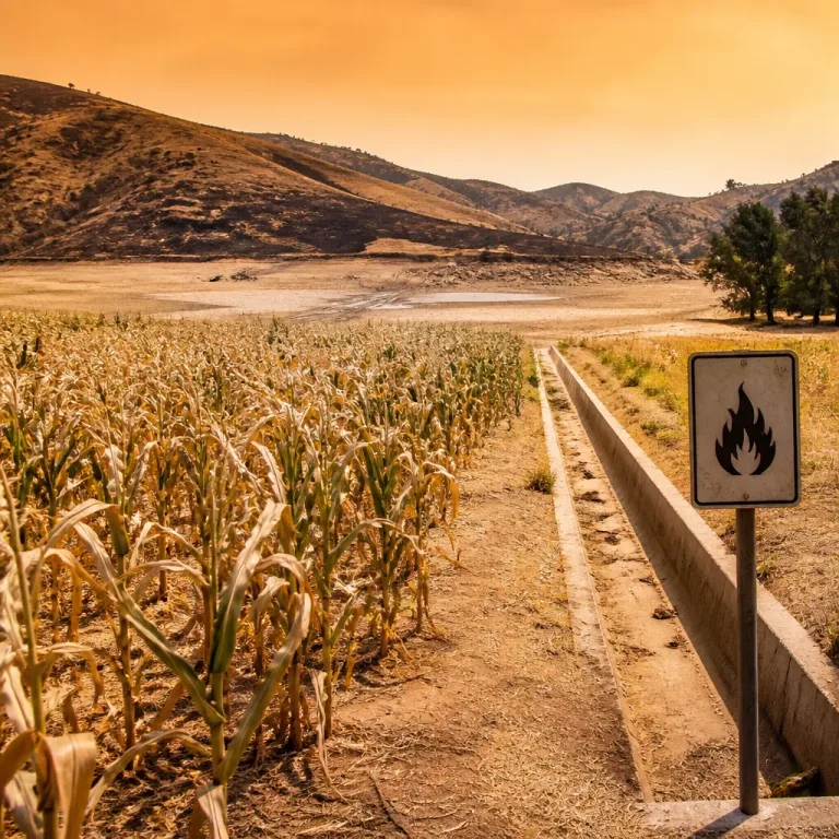
For Southern Africa, the typical El Niño signal is reduced rainfall and heightened drought risk during the main rainy season. That elevates concerns for water resources, crop production and the potential for more extensive wildfires in drier-than-normal conditions.
What people and planners should consider now
With the NOAA outlook indicating persistence into the 2027 late-summer and autumn period, practical steps can reduce risks and disruptions. Key actions include:
- Households: Conserve water where possible and plan for restrictions; safeguard stored water and maintain boreholes or rainwater systems.
- Farmers: Review planting calendars, consider drought-tolerant varieties and check contingency plans for livestock feed and water.
- Municipalities and utilities: Update water-use restrictions and contingency supply plans; monitor dam levels and communicate clear guidance to communities.
- Fire services and conservation agencies: Prepare for elevated wildfire risk where vegetation dries out; ensure rapid-response readiness.
Uncertainties and timing
Climate forecasters stress that while the large-scale tendency of a very strong El Niño is well understood, local outcomes vary by season and location. The event is expected to peak early in 2027, but the exact timing and regional distribution of rainfall and temperatures remain subject to updates as the situation evolves. NOAA currently expects the pattern to persist through the March–May 2027 period.
Authorities and residents should follow regular updates from the SA Weather Service and regional climate centres for seasonal forecasts tailored to provinces and river basins. Those forecasts will combine the El Niño signal with local conditions to give more precise guidance for agriculture, water management and disaster preparedness.
| Key fact | Detail |
|---|---|
| El Niño status | Classified as “very strong” after breaching 2°C threshold |
| When it began | June 2026 (development phase) |
| Expected peak | Early 2027 |
| Likely persistence | Through March–May 2027 |
| Typical Southern Africa effect | Increased drought risk and below-average rainfall |
Keeping informed and preparing now can reduce harm to livelihoods and essential services. Monitor official advisories from the SA Weather Service, local disaster management authorities and water services as forecasts are refined over the coming months.