
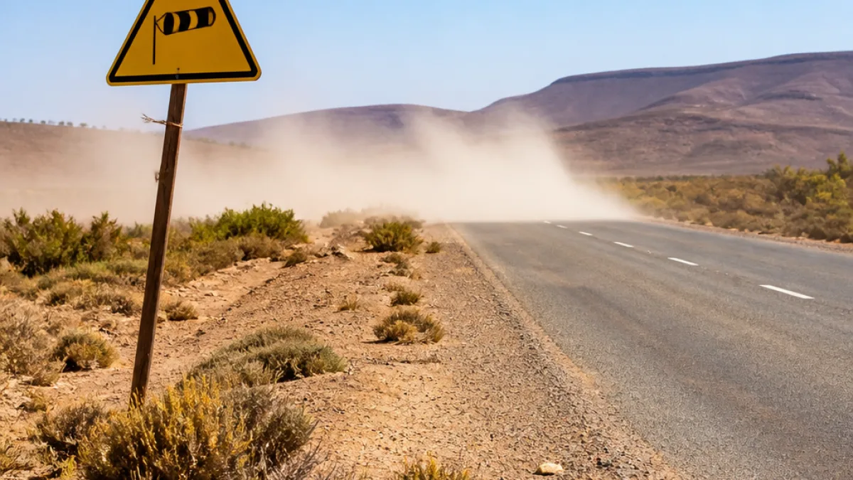
The South African Weather Service (SAWS) has issued a Yellow Level 2 warning for damaging interior winds over parts of the Northern Cape for Friday, while much of the country remains dry and cold.
Where the winds and risks are focused
SAWS highlighted that strong winds could cause localised damage to temporary structures and reduce visibility because of blowing dust across the Hantam and Karoo Hoogland municipalities in the Northern Cape. At the same time, extremely high fire danger conditions are expected in several districts across the Western and Northern Cape.
| Area | Primary hazard | Notes |
|---|---|---|
| Hantam (Northern Cape) | Damaging winds; blowing dust | Localised damage to temporary structures possible |
| Karoo Hoogland (Northern Cape) | Damaging winds; reduced visibility | Travel may be affected on exposed routes |
| Parts of Northern & Western Cape (including Nama-Khoi, Laingsburg, Cederberg, Matzikama) | Extremely high fire danger | Vegetation fires likely to spread rapidly where ignitions occur |
National picture: cold and largely dry
SAWS said most provinces will remain dry and chilly. The only notable chance of rain is confined to the far north-eastern coast of KwaZulu-Natal, where isolated showers are expected. Gauteng, the Free State, North West and Mpumalanga are forecast to begin the day cold, with frost possible in places in Gauteng before conditions become partly cloudy and cool.
The Northern Cape is expected to be partly cloudy, windy and cool to warm, with morning fog patches possible in the extreme western interior. The Western Cape should see partly cloudy skies with warm pockets, while morning fog may affect north‑western areas. The Eastern Cape is forecast to enjoy fine and warm weather, except for cooler conditions in high-lying northern areas.
Practical impacts and precautions
Strong interior winds and blowing dust can affect a range of activities across rural and small-town Northern Cape communities. Authorities and residents should be prepared for:
- Reduced visibility on exposed national and regional roads — slow down and switch on dipped headlights when dust reduces sight distance.
- Damage to temporary structures such as marquees, shade cloths and farm outbuildings — secure loose items and tarpaulins.
- Higher risk of veld and brush fires — avoid open flames, burning of garden or farm waste, and ensure vehicles with catalytic converters are parked clear of dry grass.
- Possible disruption to light aircraft and drone operations in gusty conditions.
Local disaster and municipal services should prioritise checks on vulnerable infrastructure and communications lines. Rural households dependent on open fires for heating or cooking are particularly at risk from possible fire spread and should exercise caution.
What citizens should know
Weather warnings such as SAWS's Yellow Level 2 are intended to flag potentially hazardous conditions that are not widespread but could cause problems for property, travel and safety. Residents and travellers in the affected Northern Cape municipalities are advised to monitor updates from SAWS and heed local municipal advisories.
For farmers and landowners, the combination of strong winds and dry vegetation increases the speed at which any fire may spread. Fire-fighting resources in remote parts of the Northern Cape can be limited; preventing ignitions remains the safest approach.
Although isolated rain is possible only along the far north-eastern KwaZulu-Natal coast, the overarching pattern is of a dry, chilly day for most of the country. Morning fog patches are likely in some interior western areas, which can also reduce visibility for early-morning commuters.
SAWS will continue to update warnings and forecasts. Local residents and visitors should check the official SAWS briefing or follow municipal social media channels for real-time alerts.
Summary: expect strong, damaging winds with blowing dust across parts of the Northern Cape, elevated fire danger in several districts, and generally cold, dry conditions nationwide with only isolated showers along the far north-eastern KwaZulu-Natal coast.












