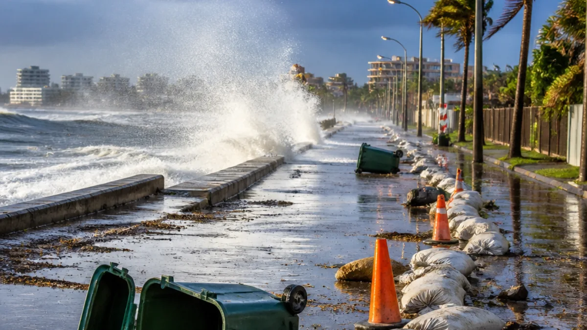
A cut-off low-pressure system expected to form over South Africa’s western interior this week will move eastwards and affect parts of the Eastern Cape from Friday into the weekend, the South African Weather Service (SAWS) said on Monday.
What to expect in the province
SAWS predicts a marked drop in temperatures across higher-lying areas and a shift to wet, windy conditions as the system tracks east. Showers and thundershowers are likely to develop, with the potential for localised heavy downpours and disruptive winds in exposed coastal and inland corridors.
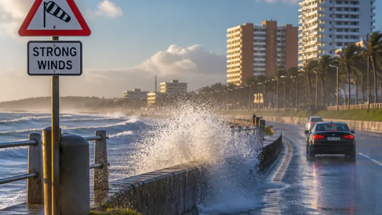
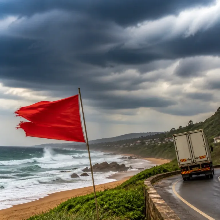
“Strong to damaging interior winds are also possible, while gale-force winds may affect the south-western and southern coastal areas,”
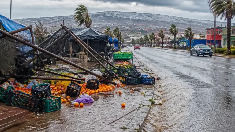
The weather service has signalled that the same system could produce severe thunderstorms in parts of the central interior before the risk extends eastwards. For the Eastern Cape this raises concerns about flash flooding in river catchments, surface water on provincial roads and damage to weaker structures in informal settlements.
Where and when the impacts are likely
The system is expected to develop over the western interior on Thursday, 3 September and move eastwards over the weekend. In practical terms for the Eastern Cape:
- Coastal districts and the southern interior could see strong, gusty winds from Friday onwards.
- Higher-lying inland areas may experience a significant temperature drop and persistent rain.
- Showers and thunderstorms could become scattered to widespread between Friday and Sunday, with isolated severe cells possible.
Authorities and residents in flood-prone areas are being urged to monitor updates from SAWS and local emergency services.
| Province / Area | Expected onset | Main hazards |
|---|---|---|
| Western Cape (overlap) | Thursday, 3 Sept | Disruptive rainfall, local flooding, strong winds |
| Northern Cape (overlap) | Thursday–Friday | Damaging winds, cooler temperatures |
| Eastern Cape | Friday–Sunday | Showers, thunderstorms, gusty winds, localised flooding |
Local impact and preparedness
Municipal officials and disaster management units in the Eastern Cape must consider pre-emptive measures: clearing stormwater drains, checking early-warning systems and preparing sandbags or temporary barriers in identified hotspots. Road authorities should expect an uptick in incidents where heavy rain reduces visibility and renders surfaces slippery.
Residents who live in low-lying neighbourhoods or near riverbanks should make contingency plans now. This includes securing loose items outdoors, moving vehicles to higher ground where possible and knowing evacuation routes. Those who use commuter routes or frequently travel between towns should allow extra time or consider postponing non-essential trips during the heaviest falls.
Advice from authorities
SAWS and local disaster management recommend the following steps:
- Keep up to date with official forecasts and alerts from SAWS.
- Avoid driving through flooded roads; turn around, don’t drown.
- Secure outdoor property and reinforce weak structures where possible.
- Be prepared for power interruptions in areas exposed to gale-force winds.
Emergency services across the province usually increase readiness during such events. Local municipalities and the provincial disaster management centre will publish contacts and centres if evacuations or temporary relief hubs become necessary.
Wider context
Cut-off lows are compact systems that can linger and produce intense, localised weather. Because they detach from the main westerly flow, they often trigger rapid changes in temperature and precipitation over short distances. This combination — heavy rain, gusting winds and cold air — can produce short-lived but severe impacts on transport networks, agriculture and coastal operations.
Residents and businesses should treat the SAWS forecasts as indicative and stay tuned for updates as the system develops and model guidance is refined. Municipalities will be watching river gauges and roads closely, and will advise the public should conditions deteriorate.
Where to get more information: follow SAWS bulletins for the latest warnings, check the Eastern Cape provincial disaster management centre for local declarations and keep contact details for your local municipality and emergency services at hand.