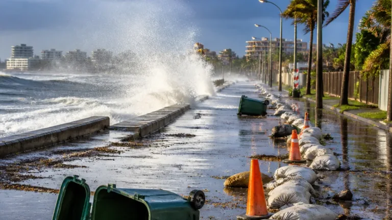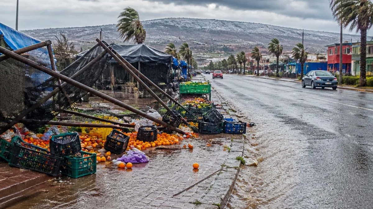
A cut-off low-pressure system moving across the country will bring a sharp change in weather to the Northern Cape from Thursday into the weekend, the South African Weather Service (SAWS) has warned. Parts of the province, particularly the Namakwa district, can expect cold temperatures, heavy showers, strong winds and the risk of localised flooding.
What SAWS has warned
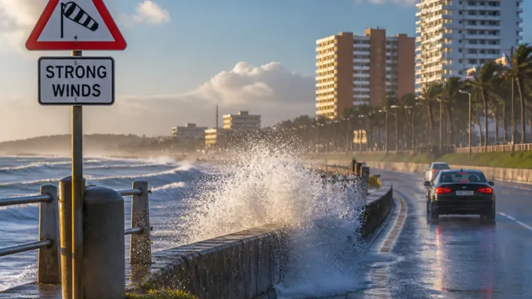
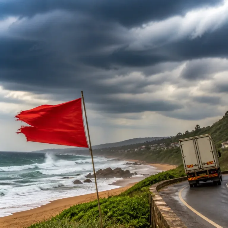
SAWS has issued a yellow level 4 warning for damaging wind affecting the Namakwa district on Thursday afternoon into Friday. The warning notes the possibility of damage to temporary structures, injuries and danger to life from flying debris, and disruptions to transport routes and travel services.
“The public is encouraged to remain updated with the latest forecasts and warnings.” — SAWS
Forecasters say very cold conditions are likely in high-lying areas, with maximum daytime temperatures possibly remaining below 10°C in places. Rainfall over parts of the Western Cape may become disruptive and could lead to localised flooding, and as the system propagates eastwards it will also affect other provinces from Friday into Sunday.
Local impacts to watch for in the Northern Cape
Residents and authorities in the Northern Cape should prepare for the following likely impacts:
- Strong, gusty winds that may damage temporary structures and create hazardous conditions for light vehicles.
- Heavy, episodic rainfall that can lead to localised flooding of roads and low-lying settlements.
- Cold daytime temperatures, especially in higher-altitude areas, increasing the risk to vulnerable people without adequate shelter or heating.
- Potential disruption to transport links and travel schedules across affected districts.
While the most intense rainfall warnings in this system have been focused on the Western Cape, the Northern Cape’s Namakwa district is specifically highlighted for damaging winds. Local municipalities and emergency services will monitor conditions closely.
Practical advice for residents
Officials and forecasters advise practical precautions to reduce risk during the period of severe weather:
- Secure loose outdoor items and temporary structures ahead of strong winds.
- Avoid driving on flooded roads; turn around, don’t drown — standing water can hide deep channels.
- Make contingency plans for vulnerable family members, including older people and young children, who may be affected by cold and disrupted services.
- Keep phone devices charged and have a battery-powered radio or alternative means to receive updates if power is interrupted.
Municipalities and traffic authorities typically publish road closure information and advice for travel during heavy weather. Those planning journeys between towns should allow extra time and check conditions before departing.
Weather over the weekend and beyond
SAWS forecasts the cut-off low will continue to move eastward over the weekend, bringing scattered to widespread showers, thundershowers and windy conditions to other interior provinces, including parts of the Free State and North West. The system could sustain disruptive weather through Sunday, with the potential for further severe thunderstorms in some areas.
| Area | Main hazard | Timing |
|---|---|---|
| Namakwa (Northern Cape) | Damaging winds (yellow level 4) | Thursday afternoon into Friday |
| High-lying areas (NC and WC) | Very cold temperatures (<10°C) | Thursday–Friday |
Climate and weather systems can evolve quickly, and the precise location and intensity of storms will depend on the cut-off low’s development. SAWS stressed the need for the public to follow the latest forecasts and warnings as the situation develops.
Residents across the Northern Cape are advised to keep abreast of SAWS updates and local municipal alerts. Emergency contact details for local municipalities and the SAPS are available on respective municipal websites for anyone who needs assistance during severe weather.
For travel and safety planning over the coming days, monitor official SAWS channels and follow guidance from local authorities to limit risk from wind, rain and cold.