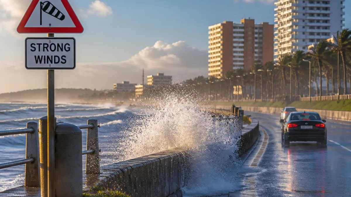
A cold front sweeping eastwards from the Western Cape will reach the Eastern Cape by Saturday evening, bringing rain, cooler temperatures and strong winds to parts of the province over the weekend, the South African Weather Service (SAWS) has said.
What to expect this weekend
The front will produce wet and windy conditions on Saturday night and into Sunday, with rain expected to spread across the province on Sunday. Ahead of the front, very windy conditions are likely across parts of the Cape interior.
| When | Expected conditions |
|---|---|
| Saturday | Cold front arrives; windy in places, rain moving into the province from the evening |
| Sunday | Cooler weather with widespread rain; strong east-coast winds remain possible |
Warnings and local impacts
SAWS has issued impact-based warnings for the broader coastal and interior regions this weekend. While the most direct coastal warning between Port Shepstone and Richards Bay applies to KwaZulu-Natal, the Eastern Cape shouldprepare for strong winds along the coast and wet conditions inland.
The SAWS bulletins note:
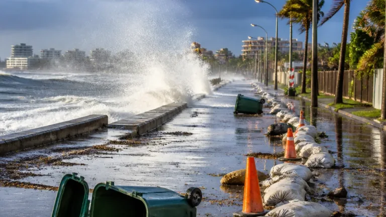
- Yellow Level 2 for damaging wind and waves along sections of the east coast (affecting navigation and small harbours).
- Yellow Level 2 for damaging interior winds in parts of the Karoo and Namakwa interior — a reminder that high-sided vehicles can face difficulty on exposed routes.
Local emergency-management officials in the Eastern Cape should monitor conditions closely, particularly where high winds and heavy rain could affect settlements and infrastructure.
Fire danger and vulnerable municipalities
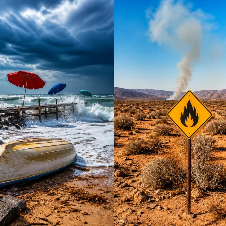
Despite the approaching front and rain, SAWS flagged extremely high fire danger for a number of municipalities in the Eastern Cape. The warning names:
- Dr Beyers Naudé Local Municipality
- Blue Crane Route
- Raymond Mhlaba
- Amahlathi
- Enoch Mgijima
- Inxuba Yethemba
These areas should remain alert: extremely dry vegetation combined with sudden gusts can allow fires to start and spread rapidly even when rain is forecast for later. Municipal fire services and landowners are advised to keep water resources accessible and avoid open flames in high-risk zones.
Practical advice for residents and motorists
- Expect cooler temperatures and wet roads: allow extra travel time and reduce speed on slippery surfaces.
- High-sided vehicles should be cautious on exposed high-level roads where cross winds are likely.
- Coastal users and small-harbour operators should monitor wave and wind conditions; navigation may become difficult.
- Those living in the named high fire-danger municipalities should follow municipal directives and keep clear evacuation routes and emergency contacts ready.
People with outdoor activities planned should check up-to-date SAWS bulletins and heed warnings issued by local municipalities. SAWS provides colour-coded, impact-based warnings; yellow indicates a moderate risk that requires awareness and caution.
Regional context
The weekend system will leave much of the interior of the country drier and relatively warm, while the the Western and Eastern Cape will bear the brunt of the cold front. SAWS also noted isolated thunderstorms for parts of KwaZulu-Natal on Sunday, and continued strong winds over the interior in places.
Residents in the Eastern Cape can expect conditions to change quickly as the front passes. Keep an eye on official SAWS updates and local municipal advisories for the latest impact-based warnings and safety guidance.
Reporting based on SAWS forecasts and impact-based warnings published ahead of the weekend weather system.