
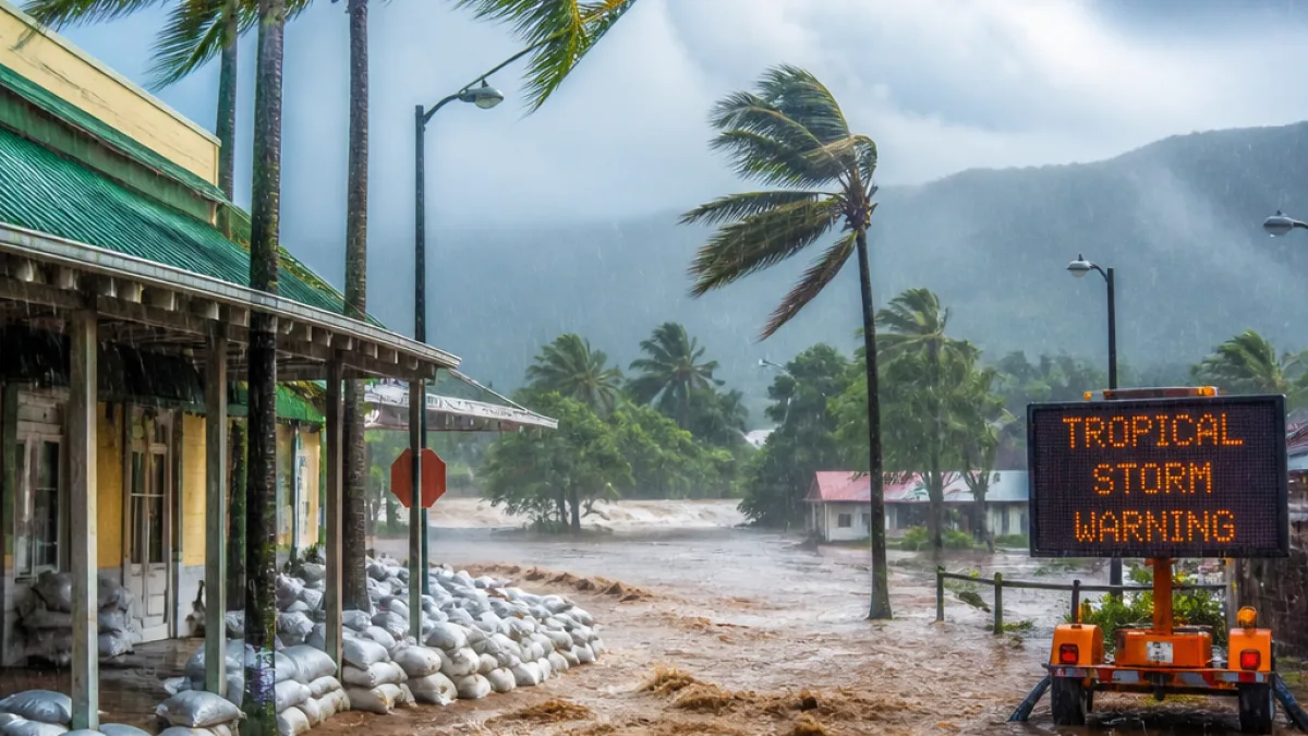
Tropical Storm Moke has developed in the central Pacific and is tracking toward the Hawaiian Islands, the National Hurricane Center said Friday, raising fresh concerns about heavy rain and flooding in areas still recovering from Hurricane Lala.
Storm position and strength
As of the latest advisory, the hurricane center placed Moke about 660 miles southeast of Hilo. The system was moving to the west-northwest at about 9 mph with maximum sustained winds near 45 mph. Forecasters say environmental conditions could allow Moke to strengthen gradually over the next several days as it approaches the state.
Rainfall the primary concern
Forecasters emphasized that rain, rather than wind, is the chief hazard from Moke. The hurricane center warned that some locations could receive more than a foot of rain. AccuWeather noted that portions of the Big Island could see even higher totals, saying rainfall amounts of up to 2 feet were possible in some spots — on top of the more than three feet of rain recorded in places during Lala.
“The Big Island will be especially sensitive to flooding after Lala already caused significant flooding and mudslides last weekend,”
AccuWeather hurricane expert Alex DaSilva added that the precise impacts will depend on Moke’s track, and that a track farther south could limit direct impacts but still produce significant rain for parts of the state.
Local preparations and warnings
County officials across Maui and the Big Island have mobilized crews and positioned response teams as they monitor the storm. Maui County officials warned that even lighter rainfall than during Lala could trigger new flooding, debris flows and power outages in areas still weakened by the earlier storm.
“Recent impacts from Tropical Storm Lala mean that even light to moderate rain and wind could trigger flooding, debris, downed trees, roadway issues and power outages,”
Maui Mayor Richard Bissen urged residents to secure property and make sure they have adequate food, water, supplies and medications. Emergency managers also asked communities to check on kūpuna and neighbors and to be prepared to evacuate if directed.
What forecasts show for the islands
The National Weather Service and county emergency agencies are focusing on the windward and southeast sides of the Big Island, which face the greatest flood and mudslide danger given steep terrain and recent saturation. For Maui, the NWS forecast called for 2 to 4 inches of rain on windward slopes from Saturday through Monday night, with locally higher amounts and a growing risk of flash flooding Sunday into Monday.
- Location (latest): ~660 miles southeast of Hilo
- Movement: West-northwest at ~9 mph
- Winds: 45 mph sustained
- Rain threats: Some areas could see more than 12 inches; AccuWeather cited up to 24 inches locally on the Big Island
| Island/Area | Primary Concern | Forecast rainfall |
|---|---|---|
| Big Island — windward/southeast | Flooding, mudslides | Over 1 foot in many areas; locally up to 24 inches |
| Maui — windward | Flash flooding, debris | 2–4 inches with higher local amounts |
How residents can prepare
Officials urged residents to remain alert to updates from the National Weather Service and local emergency management agencies. Practical steps recommended by county leaders include securing loose outdoor items, stocking emergency supplies including water and medicines, arranging plans for elderly family members, and reviewing evacuation routes to higher ground where appropriate.
Emergency management agencies and the American Red Cross have been coordinating on shelter identification and readiness. County teams said they are monitoring vulnerable infrastructure and staging resources to respond quickly if flooding or other storm impacts occur.
At this stage, forecasters say the storm’s exact track will determine the severity and distribution of impacts. Even if the core of Moke remains south of the main islands, rainfall bands could still bring dangerous conditions — particularly to terrain already weakened by Lala’s heavy downpours.
Residents should expect frequent updates over the weekend and should follow guidance from county emergency management offices as forecasts evolve.














