
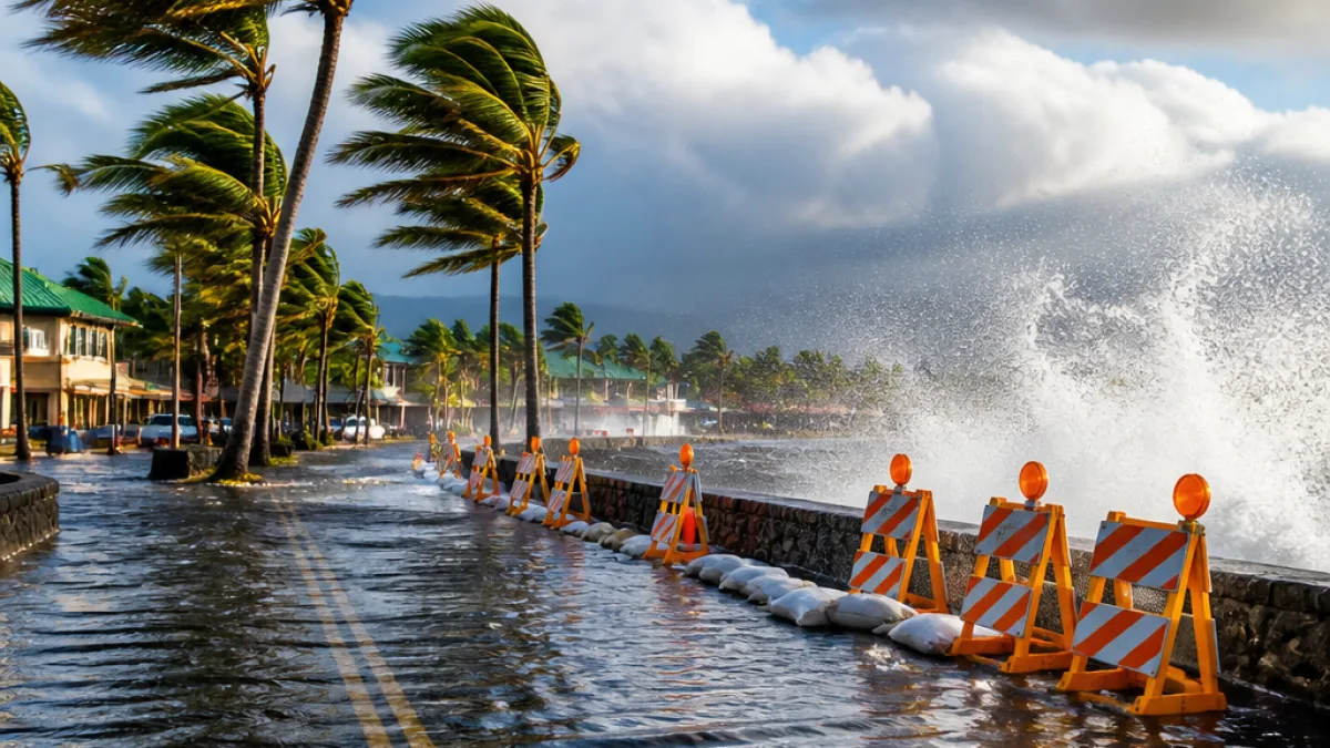
HILO, Hawaii — Hurricane Lala intensified into a Category 1 storm Saturday as it closed on Hawaii’s Big Island, bringing heavy rain, strong winds and a growing risk of flash flooding and mudslides across the island chain.
Storm status and expected impacts
The National Hurricane Center reported Lala had sustained winds of 75 mph early Saturday and was located roughly 120 miles south of Hilo. A tropical-storm-force gust of about 50 mph was measured near Kealakomo around midmorning. A hurricane warning is in effect for the Big Island, where forecasters said hurricane conditions — winds of at least 74 mph — were likely to begin Saturday afternoon.
Although the storm’s center is forecast to pass just south of the island, forecasters noted Lala’s strongest winds are north of the eye, placing those forces directly over land. That pattern raises the prospect of downed trees and power lines, especially where saturated soils make trees easier to topple.
“It’s a serious storm,” Gov. Josh Green said in a video message, urging residents to be careful and to shelter in place as conditions deteriorate.
Rainfall, flooding and high surf threats
Meteorologists emphasized that Lala’s most dangerous element is likely to be its torrential rain. The National Hurricane Center warned of life-threatening flooding and mudslides, particularly in steep and mountainous terrain. Forecast totals call for more than a foot of rain across much of the Big Island, with isolated amounts exceeding 2 feet possible.
Rain reports already showed more than 12 inches fell in Keanakolu during the prior 24-hour period. Forecasters said a foot of rain in Hilo would exceed a full month’s typical rainfall for the city. Parts of Maui and other islands are also likely to see significant rain, though the Big Island faces the highest totals.
- Big Island: Forecast more than 12 inches; isolated totals above 24 inches possible.
- Maui (eastern): 8 to 12 inches expected in some areas.
- Other main islands: Tropical storm warnings in effect; 4 to 6 inches likely in many places.
Coastal areas were placed under a high surf advisory with wave heights expected between 8 and 12 feet on east-facing shores. Hazardous surf and dangerous rip currents were forecast statewide as the system approaches.
Local conditions and practical guidance
Officials urged residents to avoid unnecessary travel, secure loose outdoor items and prepare for outages and hazardous conditions. Given the potential for mudslides and flash floods, those living below steep slopes or along river channels should be particularly cautious and consider moving to higher ground if local emergency managers advise evacuation.
Emergency services and utility crews typically reposition and stage resources ahead of major storms, but responders warned that widespread damage could delay repairs. With saturated ground, even tropical-storm-force gusts can bring down trees that can strike homes, cars and power lines.
How the storm could make history
Forecasters noted that if Lala makes landfall as a hurricane, it would be the first hurricane to directly strike the state in more than three decades. Historical records indicate direct hurricane strikes on the Big Island are rare; the storm’s southern approach and northern strong quadrant have created a scenario that places the island directly in harm’s way.
| Island | Warnings | Expected Rainfall |
|---|---|---|
| Big Island | Hurricane warning | More than 12 inches; isolated 24+ inches |
| Maui | Tropical storm warning | 8–12 inches (eastern Maui) |
| Oahu, Kauai, Molokai, Lanai, Kahoolawe | Tropical storm warnings | 4–6 inches |
As the storm interacts with Hawaii’s mountainous terrain, forecasters said its circulation could wobble and deform, producing highly variable and localized conditions. That interaction increases the chance of sudden downpours and rapid changes in wind speed and direction.
What to watch next
Residents should monitor updates from the National Hurricane Center and local authorities. Watches and warnings can change quickly when a tropical system approaches land, and forecasts of rainfall, storm surge and wind can be revised as the storm’s center shifts.
For people on the Big Island and the rest of the state: stay tuned to local emergency broadcasts, avoid flooded roadways, and follow instructions from county civil defense and public-safety officials. Given the combination of heavy rain, steep terrain and strong winds, conditions could become life-threatening in hours.
This coverage will be updated as new information becomes available from the National Hurricane Center and local emergency officials.














