
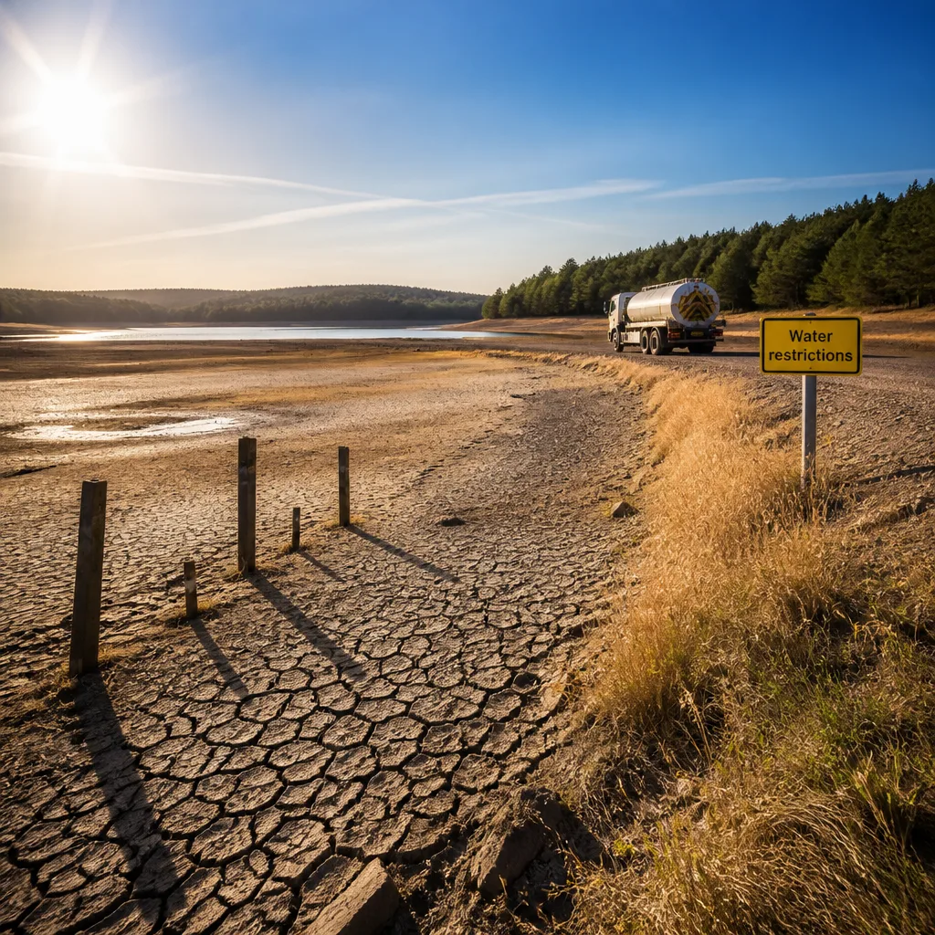
The UK is currently in its fifth heatwave of 2026 and remains on track to record its warmest summer on record, with temperatures and seasonal averages well above long-term norms.
What has happened so far
Provisional data from the Met Office shows the mean temperature for meteorological summer across the UK is around 16.48°C, about 1.88°C above the 1991–2020 average. England in particular has been markedly warmer, with a mean summer temperature of 18.19°C — roughly 2.46°C above its average.
Temperatures have reached the high 30s this week. On Thursday, readings climbed to around 37°C; the Met Office reported a provisional maximum of 37.6°C at Charlwood in Surrey.
Impact on water supplies and drought status
Persistent dry conditions have put considerable strain on water resources. About 70% of England and Wales are now classed as being in drought, and the dry spell has prompted water-use restrictions affecting some 27 million people. Low rainfall through July and into August has been the primary driver of these measures.
What the forecast shows
The Met Office long-range guidance indicates a likely short-lived weakening of the dominant high-pressure pattern next week, which could permit some showers or more widespread rain in places. However, forecasters expect temperatures to remain slightly above the long-term norm during that period.
“Looking ahead, forecasts indicate temperatures will remain well above average through much of the coming week, with another spell of heatwave conditions expected to develop in some areas,”
The Met Office senior scientist who provided that assessment also warned that sustained warm spells across the season have contributed to the unusually high seasonal averages. The agency's outlook suggests high pressure could re-establish towards the end of August, raising the prospect of another prolonged dry and warm spell — potentially a sixth heatwave.
Practical advice and confidence in the outlook
Expectations are reasonable that temperatures will remain above average for much of the near term, though there is some uncertainty about the timing and extent of any interim wet spells. Forecast confidence is moderate: a brief shift to more unsettled conditions is plausible, but the larger-scale pattern remains biased towards the return of settled, warm weather later in the month.
People should plan for further warm conditions and continue to follow local water-use guidance. Practical measures to cope with heat include:
- Stay hydrated and limit strenuous activity during the hottest part of the day.
- Use water sparingly where restrictions apply; follow your local water company’s rules.
- Check on vulnerable neighbours, particularly older people and those with underlying health conditions.
- Take sensible precautions for pets and livestock during prolonged hot spells.
Key figures at a glance
| Statistic | Value |
|---|---|
| UK mean summer temperature (provisional) | 16.48°C (+1.88°C vs 1991–2020) |
| England mean summer temperature | 18.19°C (+2.46°C vs average) |
| Highest provisional daytime maximum | 37.6°C at Charlwood, Surrey |
| Population under water restrictions | 27 million |
| Area in drought (England & Wales) | ~70% |
In short, while a short break from the heat cannot be ruled out next week, the prevailing pattern is still likely to favour further warm, dry conditions before the end of August. That means communities, water suppliers and individuals should continue to prepare for more hot weather and the knock-on effects on water availability and health services.









