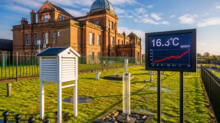
The Met Office has forecast an unusually warm interlude for late September, with temperatures building across southern England through the next couple of days and the warmest conditions expected on Friday.
What to expect this week
Temperatures are expected to climb across the south of England, peaking at about 27C–28C in parts of the South East on Friday. Thursday should be a largely dry day for many, with daytime readings in the low‑20s Celsius across much of England and Wales.
Conditions will be more changeable to the north‑west. Western Scotland and Northern Ireland are forecast to see a cold front arriving by Thursday afternoon, bringing rain and cooler conditions that will gradually spread and produce mixed weather over the weekend.
Confidence and timing
Forecasters say the warm spell is linked to an area of high pressure close to the continent. The Met Office deputy chief forecaster warned that this pattern will not last and that a weakening cold front will start to push temperatures back towards average by the weekend.
"Once early fog patches clear in the south, Friday will be exceptionally warm for late September, especially in the south‑east closest to an area of high pressure over the nearby continent."
While the short‑range forecast for the end of the week is relatively confident, there is more uncertainty for early next week. At this range the Met Office is seeing increasing signals for an area of low pressure that could bring a spell of wet and windy weather from Tuesday into Wednesday.
Practical implications
This pattern has practical consequences because much of England, including London and the South East, remains in drought following a very dry spring and summer. The late‑season warmth will not ease pressure on water resources and does not alter the longer‑term picture of rainfall deficits in many areas.
- Friday: warmest day for most, particularly the South East (around 27–28C).
- Thursday: largely dry for many; low‑20s Celsius across England and Wales.
- Weekend: a weakening cold front should return temperatures closer to average; Saturday largely fine, Sunday an increasing chance of showers or rain in the west.
- Early next week: increasing chance of wet and windy conditions, with potential coastal impacts where high tides coincide with stronger winds and rain.
Those planning outdoor activities for the end of the week should enjoy the milder conditions but remain aware that the spell is brief. People in coastal areas should monitor forecasts next week, particularly if high spring tides are expected to align with stormier conditions.
Brief technical summary
The current set‑up features high pressure situated close to continent that will support milder air moving into southern parts of the UK for a short spell. A weakening cold front is expected to drift south‑eastwards overnight into Saturday, reintroducing more typical late‑September temperatures and increasing cloud and rain chances. Ensemble signals indicate a deeper low may pass close to the UK around Tuesday–Wednesday next week, enhancing the risk of stronger winds and heavier rain for some areas.
| Day | General expectation | Temperature range |
|---|---|---|
| Thursday | Largely dry for many; rain in north‑west later | Low‑20s°C (England & Wales) |
| Friday | Warmest day, especially South East | Around 27–28°C in parts of South East |
| Weekend | Cooler and more mixed; increasing rain chances by Sunday | Closer to average |
| Early next week | Increased chance of wet, windy weather; coastal impacts possible | Variable |
As always, forecasts beyond a few days carry greater uncertainty. Follow Met Office updates if you have travel plans or live in coastal zones prone to flooding and erosion, and heed local advice should any warnings be issued.