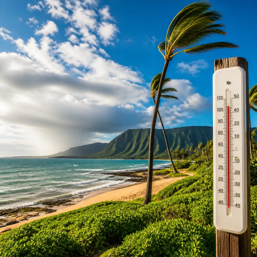
Expect a largely settled spell across Kaua‘i with a mix of cloud and sunshine, isolated showers at times and a moderate breeze in places. Coastal locations will be the warmest, with highs reaching into the upper 80s to low 90s Fahrenheit, while higher ground remains considerably cooler.
What to expect tonight and on Wednesday
Tonight most districts will be mostly cloudy, with temperatures near the shore staying warm and night-time minima falling only slightly. Across higher terrain, notably above 3,000–4,000 feet, temperatures will be substantially lower.
Wednesday should see more sunshine for many areas although a few showers are expected to develop in the mornings or afternoons depending on the district. Winds will be generally from the northeast or east, picking up to breezy levels along some coasts and exposed ridges into Wednesday night.
District-by-district summary
- West Kaua‘i — Tonight: mostly cloudy, lows around 76°F near the shore and about 67°F above 3,000 ft. Wednesday: mostly sunny, coastal highs 86–92°F; inland high elevations nearer 79°F. Winds up to 10–15 mph.
- South Kaua‘i — Tonight: mostly cloudy with isolated showers; lows 73–78°F. Wednesday: partly sunny morning with isolated showers, then mostly sunny; highs 80–91°F. Breezier Wednesday night with northeast winds 15–20 mph. Chance of rain around 20%.
- Kaua‘i Mountains — Tonight: mostly cloudy with scattered showers; lows near 72°F in valleys and about 63°F above 4,000 ft. Wednesday: partly sunny then mostly sunny with isolated showers; highs 76–83°F in valleys and roughly 75°F at the highest elevations. Rain chances 20–50% depending on time of day.
- North Kaua‘i — Tonight: mostly cloudy with scattered evening showers then isolated overnight; lows 67–77°F. Wednesday: mostly sunny with isolated afternoon showers; highs 73–88°F. Chance of rain about 20–30%.
- East Kaua‘i — Tonight: mostly cloudy with scattered evening showers then isolated overnight; lows 69–78°F. Wednesday: partly sunny with isolated showers; highs 80–87°F. Chance of rain around 20–40%.
Impacts and advice
The overall picture is of a generally warm and mostly dry few days for coastal areas, with the typical Hawaiian pattern of island shower variability — short, locally heavy bursts are possible, particularly near higher terrain and windward slopes. Breezier conditions on Wednesday night may make sea conditions choppier and add a chill on exposed ridges.
Practical points to bear in mind:
- Countryside and hill walkers should prepare for cooler conditions above 3,000–4,000 feet and the possibility of scattered showers; waterproof layers and windproof outerwear are advisable.
- Coastal visitors and those planning outdoor activities should expect warm daytime temperatures and a low but non-negligible chance of brief showers; carry sun protection and lightweight rain gear.
- Boaters and small craft operators should note the potential for stronger northeast to east winds into Wednesday night; check marine forecasts locally before heading out.
Forecast confidence and what to watch
The confidence in temperatures and general wind directions is reasonably high for the next 24–36 hours, but the timing and location of isolated showers remain inherently uncertain over island terrain. Local variations can be sharp; a fine, sunny beach can be followed within miles by a brief, heavy shower.
| Area | Highs (Wed) | Lows (Tonight) | Rain chance |
|---|---|---|---|
| West Kaua‘i | 86–92°F | 76°F coast / 67°F >3,000 ft | ~20% |
| South Kaua‘i | 80–91°F | 73–78°F | 20% |
| Kaua‘i Mountains | 76–83°F | 72°F valleys / 63°F >4,000 ft | 20–50% |
| North Kaua‘i | 73–88°F | 67–77°F | 20–30% |
| East Kaua‘i | 80–87°F | 69–78°F | 20–40% |
Monitor local forecasts through official channels for any updates, particularly if you plan activities sensitive to short-lived showers or stronger winds. The island's terrain and coastal contrasts mean conditions can change noticeably over short distances; plan with flexibility and check the latest local advisories before travelling.