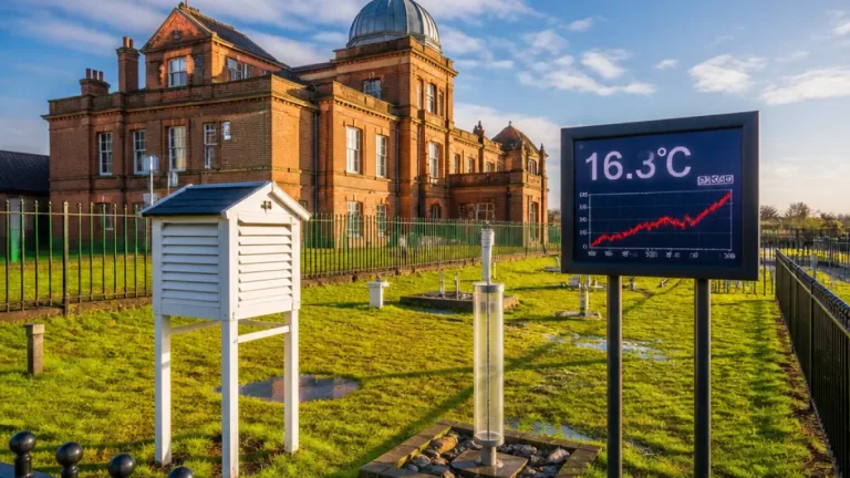
Most of the Chippewa Valley and surrounding parts of the Upper Midwest should expect a largely dry and mild end to the month, with daytime temperatures generally around the low 70s°F. Rain that has been falling through Thursday evening is expected to ease after about 10pm, leaving mainly cloudy skies overnight and temperatures sliding into the 50s and upper 40s.
What to expect through the weekend
A weakening upper-level wave moving away will allow Friday to be a drier day across the region. Many areas will see a mix of cloud and sunshine and top temperatures close to 70–72°F, while a few southern locations may creep into the low 70s°F. Cloud cover will tend to increase again on Saturday ahead of the next disturbance, but overall conditions should remain largely dry for daytime hours.
Forecasters note that any rain over the weekend is likely to be limited and confined mainly to late Saturday night. If precipitation occurs, it is expected to be isolated and should finish before dawn on Sunday.
- Tonight: Rain tapering off after 22:00; temperatures falling into the 50s and upper 40s.
- Friday: Dry and mild; highs around the low 70s°F.
- Saturday–Sunday: Mostly dry daytime hours; isolated shower risk Saturday night into early Sunday; highs generally in the upper 60s°F, with some southern spots reaching the low 70s°F.
Looking ahead: a wetter start to next week
The upper-air pattern will change early next week as a trough pushes east over the western half of the United States. At the surface, a cold front is forecast to move across the Plains and into the Midwest overnight Monday into Tuesday. That front is expected to draw in moisture ahead of it, increasing the likelihood of more widespread rain on Tuesday.
Model guidance suggests there will be some instability available with the approaching front, so isolated thunderstorms cannot be ruled out. However, any thunderstorm activity is expected to be scattered rather than widespread.
| Day | General expectation | Typical highs |
|---|---|---|
| Friday | Dry, partly cloudy | Low 70s°F |
| Saturday | Mostly dry, cloud increasing | Upper 60s°F |
| Sunday | Quiet after early touches of rain | Upper 60s–low 70s°F |
| Tuesday (next week) | Widespread rain possible; isolated thunderstorms | Warm ahead of the front – in the 70s°F |
Behind the front, cooler air should filter in for midweek, with temperatures falling back below those early-week levels by Wednesday. Forecast confidence drops beyond Tuesday as the track and strength of systems to the south could modify rainfall timing and coverage later in the week. There is also an indication that additional rain could return as early as Thursday for parts of the Coulee Region if a nearby low-pressure centre strengthens.
Practical advice
For now, the short-term message is straightforward: plan for a pleasant, mostly dry end to September with comfortable daytime temperatures. However, if you have outdoor plans for Tuesday or the middle of next week, keep an eye on forecasts and be prepared for wet conditions and the possibility of isolated thunderstorms.
- Check updates late Monday or early Tuesday for the latest on the frontal timing and rainfall amounts.
- If you are in areas that commonly flood, review local guidance — the risk of heavier rain will be greater where the front stalls or tapers.
- For outdoor events on Saturday night, consider contingency plans in case isolated showers develop before dawn on Sunday.
Overall, the immediate outlook is for a comfortable end to the weekend with increasing uncertainty and a higher chance of rain by Tuesday. I aim to keep guidance practical and will update the outlook as confidence in next week’s systems improves.