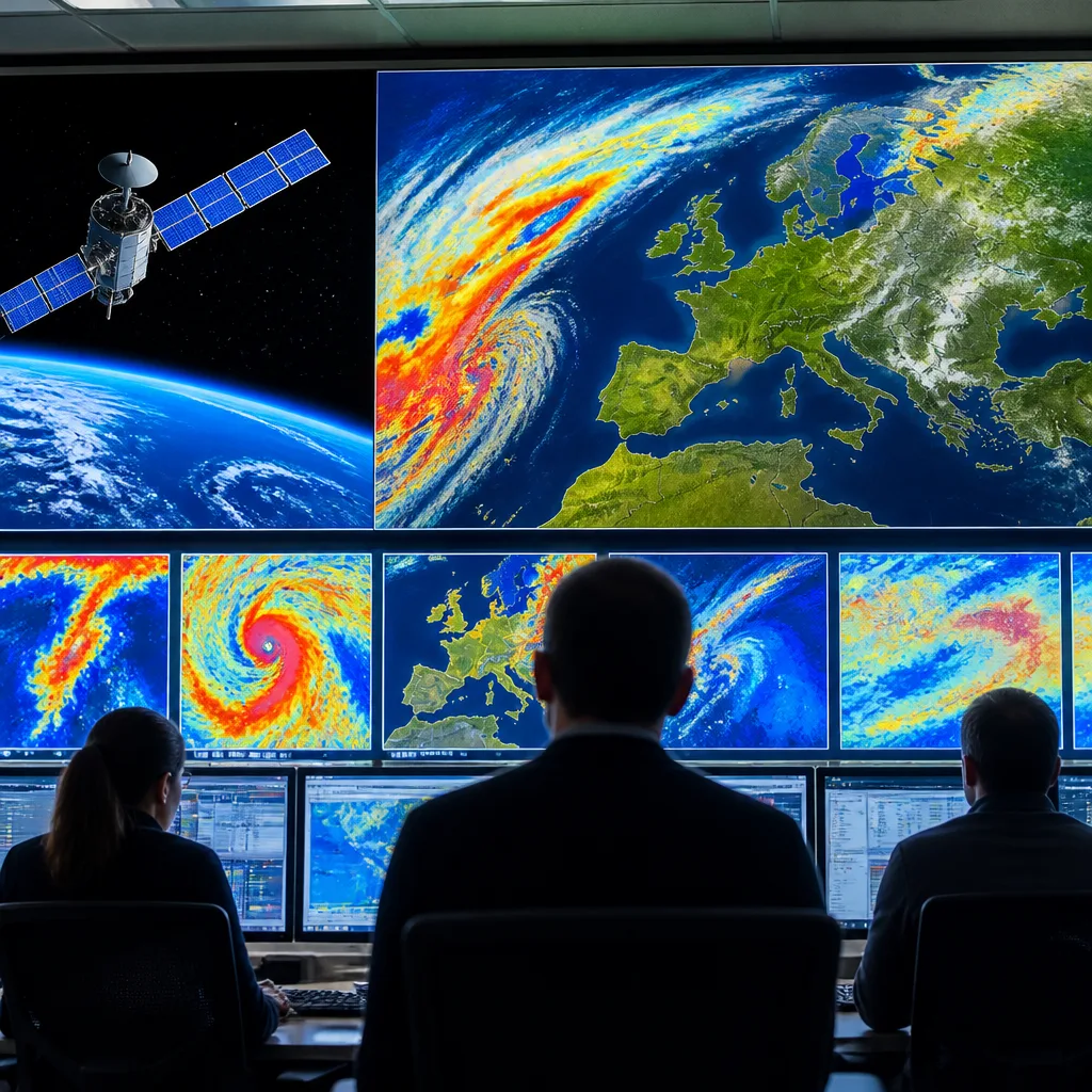
MTG‑I2, the second imager of Europe’s Meteosat Third Generation system, has reached orbit and successfully passed its first post‑launch milestones, completing the first operational MTG constellation and promising more frequent, sharper satellite observations for weather monitoring across Europe.
What has happened
The satellite was launched at 22:11 CEST from Europe’s Spaceport in French Guiana on an Ariane 6 rocket. Teams have established communication with the spacecraft and report the successful deployment of its solar panels, allowing the satellite to generate power autonomously as it begins the Launch and Early Operations Phase. Over the coming two weeks MTG‑I2 will be manoeuvred to an operational orbit about 36,000 km above Earth, where a prolonged period of instrument calibration and validation will take place.
Why this matters for weather and emergency services
MTG‑I2 will provide much more frequent imagery of the atmosphere than previous geostationary imagers. EUMETSAT’s rapid scan service from MTG‑I2 will refresh imagery every 2.5 minutes, offering forecasters a near‑continuous view of fast‑developing weather systems. That higher cadence is designed to improve the detection and tracking of severe storms, hail, damaging winds and flash floods, and to provide more timely warnings to national meteorological services.
The satellite also carries dedicated channels to detect and characterise active fires and their smoke plumes. In light of this summer’s extreme weather and wildfire events, those capabilities are highlighted as particularly useful for emergency response and public safety.
“With MTG‑I2, we are unlocking the complete capabilities of this extraordinary European system,” said Phil Evans, Director‑General of EUMETSAT.
How the MTG constellation is structured
The MTG programme comprises imagers and sounders; MTG‑I2 joins earlier launches to form the first full operational MTG constellation. The programme’s staged rollout means capabilities will continue to be validated and integrated into national forecasting workflows.
| Satellite | Launch / status | Primary role |
|---|---|---|
| MTG‑I1 (Meteosat‑12) | Launched December 2022 | Imager — high‑resolution observations |
| MTG‑S1 | Launched July 2025 (becoming operational before end of 2026) | Sounder — vertical atmospheric profiling |
| MTG‑I2 | Launched August/September 2026 | Imager — rapid‑scan imagery every 2.5 minutes |
Practical consequences for forecasters and the public
- Faster detection: Rapid‑scan imagery helps spot intensifying convection and short‑lived, high‑impact events (for example, sudden thunderstorm cells) sooner than before.
- Improved fire monitoring: Dedicated fire channels will aid in identifying active fires and tracking smoke transport, supporting both firefighting operations and air‑quality assessments.
- Better warnings: Closer monitoring of rapidly changing conditions should help national meteorological services issue timelier, more targeted severe‑weather warnings.
Operational use depends on the completion of calibration and validation over the next weeks and the integration of MTG‑I2 data into national and regional forecast systems. As with any new satellite, there is a handover period during which instrument teams and forecasters confirm data quality and optimise processing chains.
For the public the change will be largely invisible in daily forecasts, but it will be reflected in potentially earlier and more precise severe‑weather alerts and in enhanced situational awareness for emergency services during rapidly evolving events.
The MTG constellation represents a step change in Europe’s geostationary observing capability. Completing the first operational set of MTG satellites is a milestone for EUMETSAT and national meteorological services, and it comes as recent summers have underlined the value of timely satellite data for monitoring extreme weather and wildfire risk.