
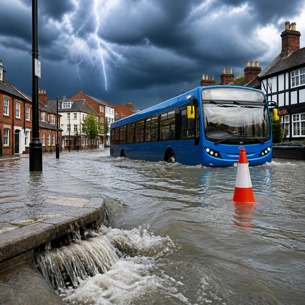
Large parts of England and Wales are under a Met Office yellow warning for heavy showers and thunderstorms for Friday, with the alert running from midday until 9pm. Forecasters say sudden, intense bursts of rain could cause localised flooding, disruption to trains and longer road journeys, particularly where repeated downpours occur.
What to expect and where
The warning spans a wide swathe of the country, covering most of Wales, the West Midlands, Yorkshire and Humber, South West England, North West and North East England, along with London, the South East, the East of England and the East Midlands. The focus for the heaviest showers is expected to be over northern England and much of Wales in the early afternoon, spreading into central and eastern England later in the day.
Forecasters warn that while many places will avoid the fiercest downpours, some locations could see fast-moving intense showers with multiple bursts. In those spots, 10–20mm could fall in a short period and, in places experiencing repeated downpours, totals of 30–40mm are possible. Lightning and hail are cited as additional hazards where thunderstorms form.
"While many areas will miss the heaviest downpours, heavy showers and thunderstorms are expected to develop during Friday afternoon and evening."
Impacts and preparedness
The yellow warning means there is a reasonable chance of impacts. The Met Office highlights the following potential consequences:
- Local flooding of homes and businesses where intense bursts fall.
- Transport delays and possible short-term cancellations affecting rail services.
- Longer road and bus journeys from surface water, spray or incidents caused by poor visibility.
Event organisers and anyone planning to spend time outdoors over the Bank Holiday weekend should check the latest forecasts and consider contingency plans. The ground remains dry in many areas after an extended dry spell this summer, so sudden heavy rain may run off hard surfaces rather than soak in, increasing the chance of rapid surface water flooding in affected locations.
Flood alerts and local warnings
Separate to the Met Office warning, the Environment Agency has issued local notices. A flood warning — indicating flooding is expected — is in force for Walverden Water at Nelson, Lancashire. In addition, a number of flood alerts are in place, signalling that flooding is possible and local communities should stay aware and be prepared to act.
| Alert type | Example location |
|---|---|
| Flood warning (flooding expected) | Walverden Water at Nelson, Lancashire |
| Flood alerts (flooding possible) | 12 areas across the Environment Agency domain |
Short-term outlook and advice
Weather analysts note that the most intense activity should subside during Friday evening, but the unsettled theme may continue into the weekend. People travelling by rail or road should allow extra time for journeys, and those heading to outdoor events — particularly festivals or camping — should prepare for the possibility of strong showers, lightning and gusty winds.
Practical precautions include keeping an eye on live weather updates, protecting valuables from potential water entry, avoiding floodwater on roads and following advice from local authorities. If you are in an area under a flood warning, move to higher ground if safe to do so and follow any evacuation instructions.
Forecasters advise that while many locations will not see the worst impacts, rapid changes in conditions are possible where thunderstorms develop, and confidence is higher for disruption in the highlighted warning areas.
Check the Met Office and Environment Agency websites for the latest warnings and local guidance before setting out.









