
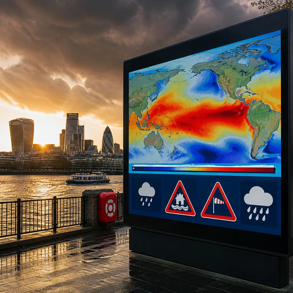
The Met Office has issued a stark seasonal signal: the El Niño developing in the tropical Pacific looks set to be exceptionally strong and is expected to influence the United Kingdom's weather through the coming autumn and winter. Forecasters say the event will raise the probability of wetter and stormier conditions across London and northwest Europe and could help push global temperatures higher into 2027.
What to expect and when
El Niño is defined by sustained warmer-than-average sea surface temperatures in the tropical eastern Pacific. The Met Office said a rise of 0.5°C above the long-term average marks the threshold for an El Niño event; current forecasts indicate an anomaly substantially larger than that. Some climate groups suggest anomalies could be even higher, with projections mentioning values up to about 4°C above typical averages in regional terms.
For the UK the practical consequences are a shift in seasonal odds rather than certainty. The headline expectations are:
- Autumn and early winter: increased chance of storms and above-average rainfall, especially across northwest Europe and urban areas such as London.
- Late winter: a higher probability of cold snaps remains possible despite the overall warmer signal; El Niño can alter circulation patterns in ways that increase the risk of late-season cold spells.
- Global temperatures: a substantial release of ocean heat to the atmosphere during large El Niño events makes a very warm year following the peak likely — the Met Office highlights 2027 as particularly at risk of being the warmest year on record.
Forecast confidence and expert warnings
Scientists stress that El Niño changes the odds rather than guaranteeing particular weather at a local level. The Met Office's long-range forecasts are consistent with other modelling systems in signalling an unusually strong event, and forecasters say this amplifies the expected global climate impacts.
“We should be clear that this is an unprecedented event. I have never seen an El Niño signal this intense in our forecasts.”
The quote above came from a senior Met Office long-range forecaster discussing the intensity of the developing signal. Another Met Office scientist outlined the mechanism linking large El Niño events to global temperature increases.
“During large El Niño events significantly more heat is released from the ocean to the atmosphere leading to an increase in global average temperature, particularly in the calendar year following the winter peak of the El Niño. Hence, 2027 is very likely to replace 2024 as the warmest year on record and be another year to temporarily exceed plus 1.5C above the pre-industrial period”.
Practical implications for the public and infrastructure
With the higher likelihood of wetter and stormier weather, there are a number of actions individuals and organisations should consider now to reduce disruption and risk:
- Review flood preparedness if you live in vulnerable areas — check local authority guidance and insurance cover.
- Expect more frequent and possibly severe storm warnings in autumn/winter and follow Met Office and local emergency alerts.
- Plan for transport disruption during peak autumn and winter travel periods; allow extra time and check service updates.
While the signal points to higher risks of heavy rain and storms, regional impacts will vary. Urban centres, including London, may see amplified runoff and short-duration intense rainfall that can overwhelm drainage systems. Because El Niño influences atmospheric circulation on a global scale, its effects will interact with other climate drivers and natural variability — so localised outcomes will still require close monitoring by forecasters.
| Season | Likely influence |
|---|---|
| Autumn | Higher chance of rainy, unsettled conditions and increased storm activity |
| Early winter | Continued elevated storm risk; wetter than average in north‑west Europe |
| Late winter | Possible increased odds of cold spells despite overall warmth |
Forecasters emphasise that seasonal outlooks indicate probabilities; they do not replace daily weather warnings that will give precise timing and severity of particular storms. The public should continue to follow Met Office forecasts, local council advice and transport operator notices as the season progresses. Emergency planners and infrastructure operators will be monitoring the evolving picture closely to manage flood risk and maintain resilience as the event develops.









