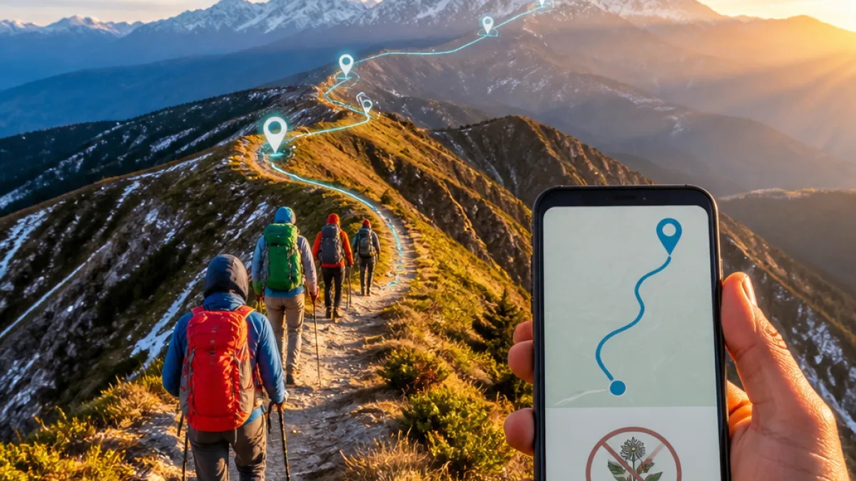
The Uttarakhand government on Friday dispatched a specialist expedition to conduct ground surveys and create detailed GPS and GIS maps for 100 major trekking and hiking routes across the state, officials said. Most of the selected tracks are in higher altitude areas, and the exercise is intended to both promote adventure tourism and improve safety and rescue operations, they added.
Project aims and technical approach
The Uttarakhand Tourism Development Board (UTDB) will carry out the survey work and assemble a digital database of the routes. The technical team will record coordinates and route details using GPS devices and build GIS (Geographic Information System) layers for each track. After completing mapping, authorities plan to launch a state‑level GPS navigation mobile application to provide trekkers with route information on their phones.
Officials said the mapping will be scientific and detailed so that the data can be used for multiple purposes, including route guidance, risk assessment and planning of relief and rescue during emergencies.
“Uttarakhand possesses immense potential for adventure tourism. We must exploit technology to bring state’s popular trekking sites, remote and lesser known tracks on tourism map in a structured manner. This will help make trekking safer, easier and better organized,” Chief Minister Pushkar Singh Dhami said at the flagging off of the expedition.
Safety, rescue and environmental concerns
Authorities emphasised that improved mapping is intended to strengthen safety mechanisms for trekkers. Accurate GPS and GIS data can shorten response times for search and rescue teams by providing precise locations and terrain profiles, officials said. The mapping is also being presented as a measure to support better planning for emergencies in remote mountain areas.
At the same time, the government underlined a commitment to protect the Himalayan ecology. Officials said the project will be conducted with sensitivity towards fragile mountain ecosystems and that conservation considerations will figure in any promotion of newly mapped trails.
Local livelihoods and tourism development
Beyond safety, the government framed the mapping drive as a means to expand tourism to lesser‑known hamlets and remote valleys, creating fresh economic opportunities for local communities. Officials expect development of new treks to open avenues for employment as guides, accommodation providers such as homestays, and other tourism‑related services.
- Scope: 100 trekking and hiking routes, mainly high‑altitude tracks.
- Technology: GPS and GIS mapping, followed by development of a GPS navigation app.
- Objectives: Safer treks, organised tourism growth, faster rescue operations, protection of ecology, and local employment.
Practical implications for trekkers and stakeholders
When the navigation app is rolled out, trekkers will be able to access route information on mobile phones, according to the UTDB. The authorities did not provide a timeline for the completion of surveys or the app’s launch. The mapping database could also be useful for district administrations, forest departments and disaster management agencies in planning patrols, monitoring carrying capacity of trails, and pre‑positioning rescue assets.
| Component | Expected output |
|---|---|
| Ground survey | GPS waypoints, elevation profiles, trail conditions |
| GIS mapping | Layered digital maps for planning and emergency response |
| Mobile app | Trekkers’ access to route navigation and essential trail information |
Questions remaining
Officials have not yet released the list of the 100 selected routes, the schedule for surveys, or details on how ecological safeguards will be enforced if previously little‑used trails are opened to tourism. There is also no public timeline for the development and rollout of the navigation app, or information on whether maps will be integrated with emergency hotlines and local administration systems.
Environmental groups and local bodies typically seek clear carrying‑capacity limits, waste‑management plans and guidelines on infrastructure development before new trekking routes are promoted. Observers said such measures will be essential to balance tourism growth with preservation of sensitive alpine habitats.
Officials say that, in the coming weeks, the UTDB expedition will complete technical surveys and that further announcements on the app and route access will follow.