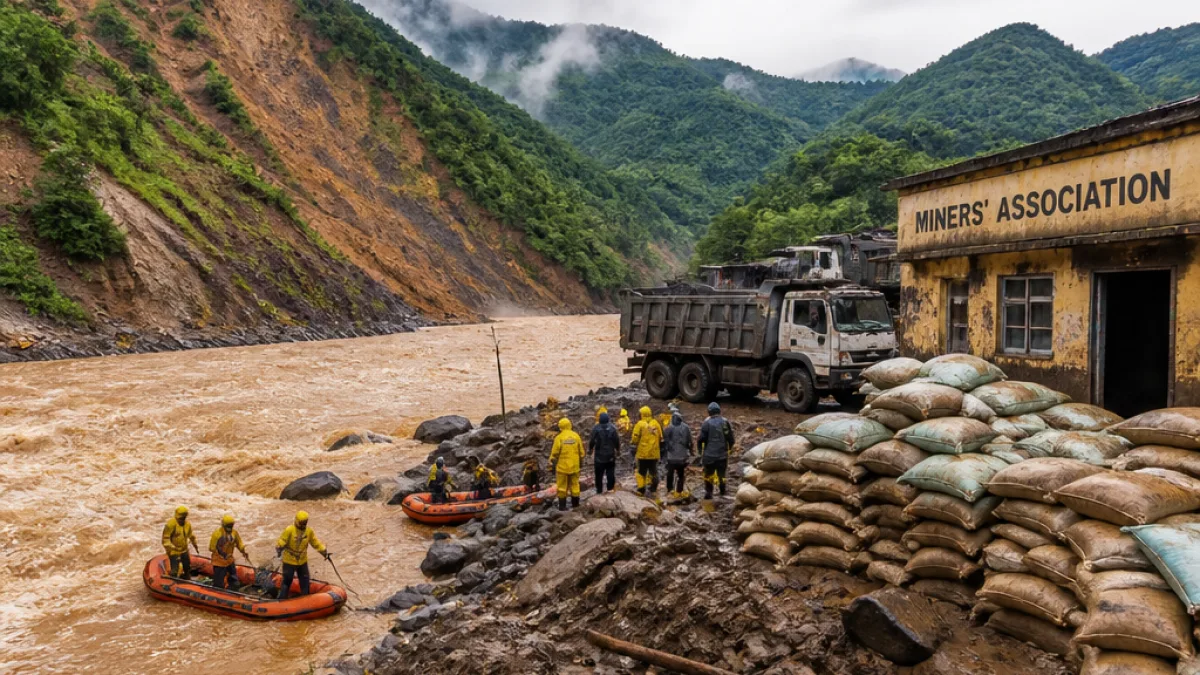
TULI, Mokokchung: A Nagaland-based coal miners’ association on Saturday urged the public and political actors not to turn the devastation caused by floods and landslips into an inter-State blame game, saying the recent calamity was driven by exceptionally heavy rains and a constellation of factors rather than any single activity.
Association rejects single-cause attribution
The Tuli Area Coal Mining Contractors’ Association (TACMCA), headquartered in Tuli on the Nagaland–Assam border, responded after calls from some quarters in Assam that unregulated sand, stone and coal mining along the inter-State boundary was responsible for severe flooding in parts of Assam.
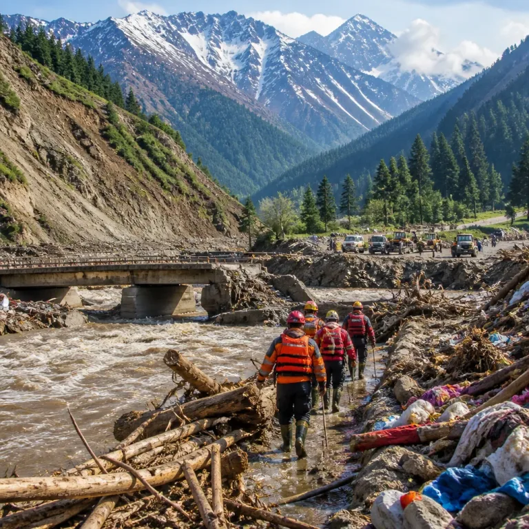
The association said the unusually intense rainfall recorded in Nagaland on 18 July produced extremely high water flows that triggered flash floods and landslips across several districts, including Longleng, Mokokchung, Mon and Wokha. TACMCA appealed for a measured inquiry into all contributing factors rather than attributing the disaster to a single community or sector.
"Natural calamities do not recognise State boundaries or communities,"
The statement emphasised that Nagaland itself sustained extensive damage and cautioned against making unverified claims that could inflame tensions between the two States.
Death toll and affected population
Disaster management authorities in Assam and Nagaland reported that floods and landslips between April and 14 August left at least 115 people dead. Separate official reports from Assam put its death toll at about 100 and said nearly 1.4 lakh people had been affected there.
| Jurisdiction | Reported impact (to 14 Aug 2026) |
|---|---|
| Assam | ~100 deaths; nearly 1.4 lakh affected |
| Assam + Nagaland | At least 115 deaths (combined) |
Border geography and mining belt
Tuli sits on the border with Assam. The coal belt in the region runs from Nagaland’s Wokha through Mokokchung to Longleng, Mon, and beyond into Arunachal Pradesh. That geography has prompted cross-border scrutiny over whether extractive activities could affect hydrology and river flows downstream in Assam.
Calls for comprehensive investigation
The TACMCA urged authorities and the public to examine multiple factors that could have amplified the disaster: exceptionally heavy rainfall, topography, soil saturation from preceding rains, river channel capacity, and human interventions such as land use changes. It warned that singling out one activity or community without full analysis risked fuelling social friction at a time when relief and rehabilitation were priorities.
- Association position: Heavy rains and complex interactions, not exclusively mining, were responsible for the floods.
- Human toll: At least 115 deaths reported in Assam and Nagaland between April and 14 August 2026.
- Appeal: Avoid unverified claims and seek coordinated investigations across States.
Official and public response
The TACMCA’s statement came after public figures in Assam, including Sivasagar MLA Akhil Gogoi, publicly blamed unregulated and unscientific mining along the inter-State border for the unprecedented floods in districts such as Sivasagar and Charaideo. Those allegations cite the possibility that excess water accumulated in pits or altered flows downstream.
While the TACMCA rejected such single-cause theories, it did not oppose objective, evidence-based inquiries into mining practices or regulatory lapses. The association's release stressed the need for scientific assessment by competent agencies, indicating that technical studies on rainfall patterns, catchment response and river morphology would be necessary to draw firm conclusions.
Local impact and next steps
Local administrators in both States continue relief and rescue operations, and officials have signalled interest in multidisciplinary assessments that include hydrologists, geologists and forest and mining experts. Observers say coordinated data-sharing across State lines will be crucial to establish the sequence of events and avoid politicisation of the findings.
With rebuilding under way in affected areas, stakeholders urged that any investigation be timely, transparent and shared publicly so that rehabilitation plans and future mitigation measures can be based on solid evidence rather than assertion.