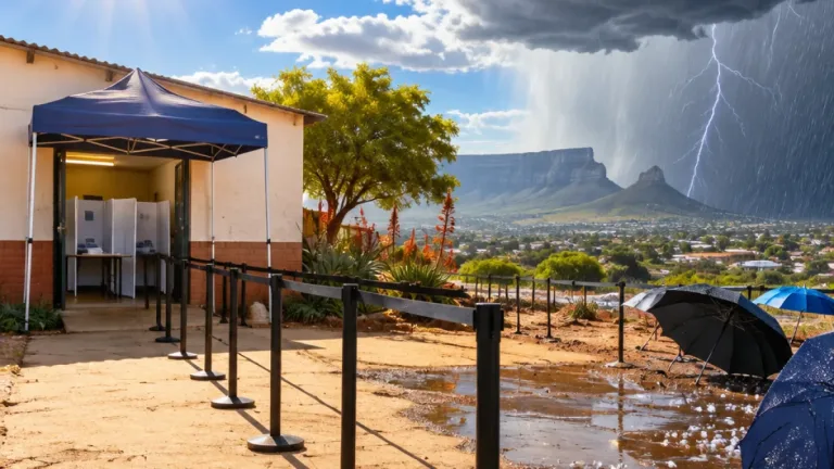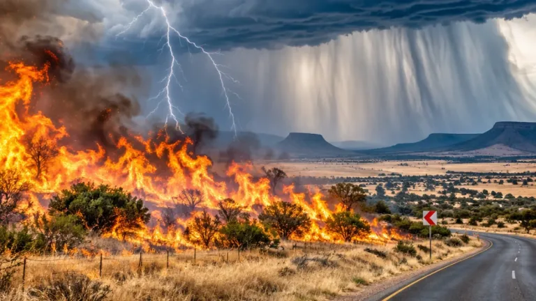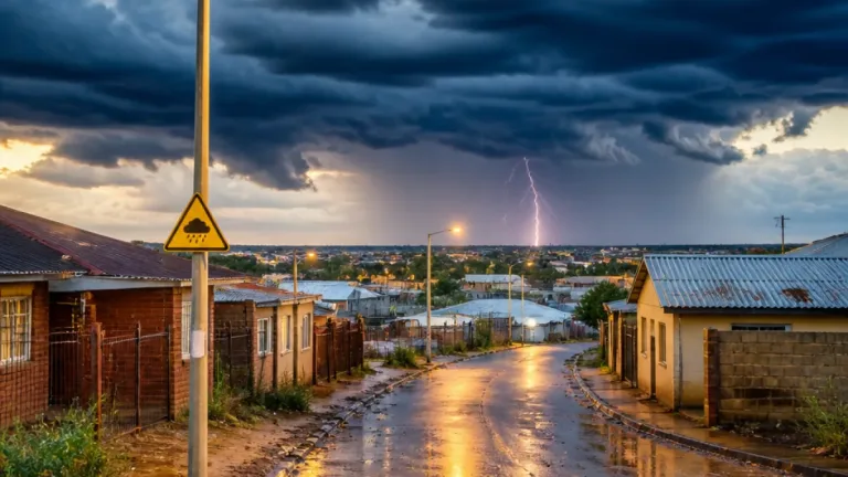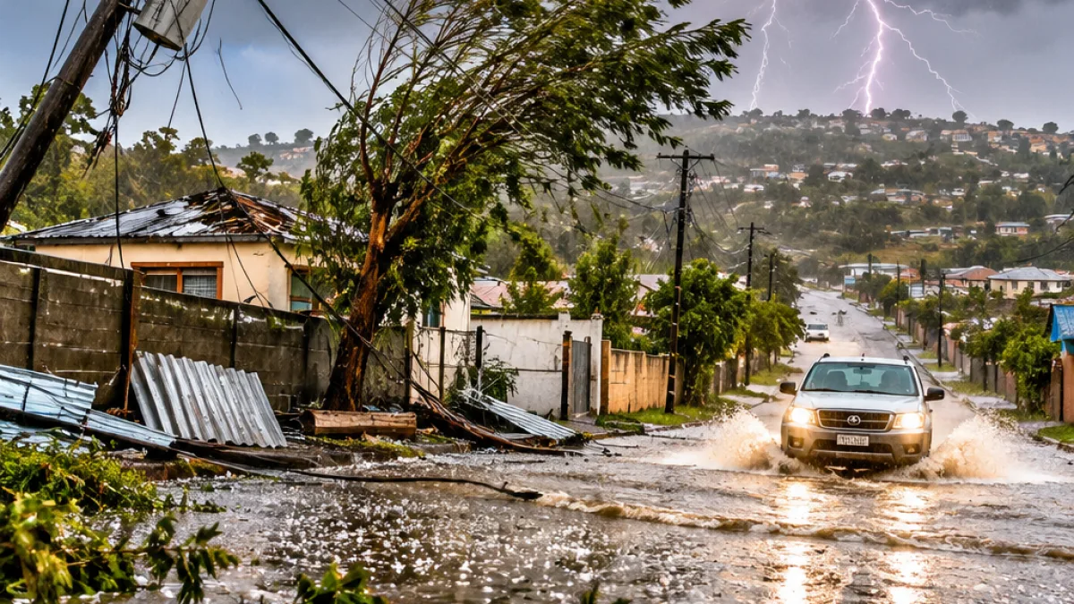
People in parts of Limpopo, Mpumalanga, KwaZulu-Natal, the Eastern Cape, Gauteng and the Free State should remain alert to rapidly changing conditions on Monday, 2 November 2026, after the South African Weather Service issued warnings for severe thunderstorms. The storms may bring heavy rain, hail, damaging winds and excessive lightning, with flooding and damage to property, settlements and infrastructure possible in affected areas.
Highest alert covers parts of three provinces
The most serious warning is a Yellow Level 4 alert. It applies to the extreme south-central parts of Limpopo, the highveld and escarpment of Mpumalanga, apart from the province’s extreme south-western areas, as well as western and north-eastern parts of KwaZulu-Natal.
In these areas, thunderstorms are expected to be accompanied by intense downpours, hail and frequent lightning. The conditions could lead to flooding and damage to infrastructure and informal settlements. People in low-lying areas and those travelling during storm activity should take the warning seriously and avoid unnecessary exposure when conditions deteriorate.
Additional warnings along the KwaZulu-Natal coast
A Yellow Level 2 warning has been issued for the KwaZulu-Natal coastline and nearby inland areas between Port Edward and Mtubatuba. Severe thunderstorms in this corridor may produce heavy rainfall, strong gusts, hail and lightning.
SAWS said localised flooding and damage to infrastructure and settlements could result. The warning covers both coastal and adjacent interior areas, meaning that conditions may vary considerably over short distances. Residents and motorists should monitor the weather as they make travel and outdoor plans.
| Warning | Areas affected | Possible impacts |
|---|---|---|
| Yellow Level 4 | Parts of Limpopo, Mpumalanga and KwaZulu-Natal | Flooding and infrastructure or settlement damage |
| Yellow Level 2 | KwaZulu-Natal coast and adjacent interior between Port Edward and Mtubatuba | Localised flooding and damage |
| Yellow Level 1 | Parts of the Eastern Cape, Free State, Gauteng and Mpumalanga | Localised flooding, damage and service disruptions |
Lower-level warning still carries risks
A Yellow Level 1 warning is in place over the extreme north-eastern escarpment areas of the Eastern Cape, the eastern Free State, southern Gauteng and the extreme south-western parts of Mpumalanga. Severe thunderstorms in these regions may cause localised flooding and damage to settlements, property and temporary structures.
SAWS also warned of possible interruptions to electricity supply and communications in the areas covered by this alert. Temporary structures and unsecured property may be particularly vulnerable when thunderstorms bring strong winds and hail.
What to expect across the country
The warnings form part of a broader weather pattern in which a surface trough is expected to dominate the interior. This system is forecast to produce isolated to scattered showers and thunderstorms over the central and eastern parts of the country during the week.
Monday is expected to bring partly cloudy conditions, with temperatures ranging from cool to warm and hot in different areas. Storms may become widespread in Mpumalanga, KwaZulu-Natal and the Eastern Cape. Elsewhere, conditions may remain warm or hot, although local weather can change quickly as storms develop.
- Check the latest SAWS forecast and warning before travelling or beginning outdoor activities.
- Allow additional time on the road if heavy rain reduces visibility or water accumulates.
- Take shelter when lightning, hail or strong winds approach, and avoid remaining in exposed areas during a storm.
- Use extra caution around flooded roads and never assume that a route remains safe once water begins collecting.
- Secure temporary structures and property where possible, particularly in areas covered by the severe thunderstorm warnings.
The weather service said the expected storms could affect settlements, infrastructure, electricity and communications differently from one area to another. The public should therefore continue checking official updates for changes to the warning areas and storm intensity throughout the day.