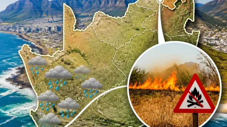
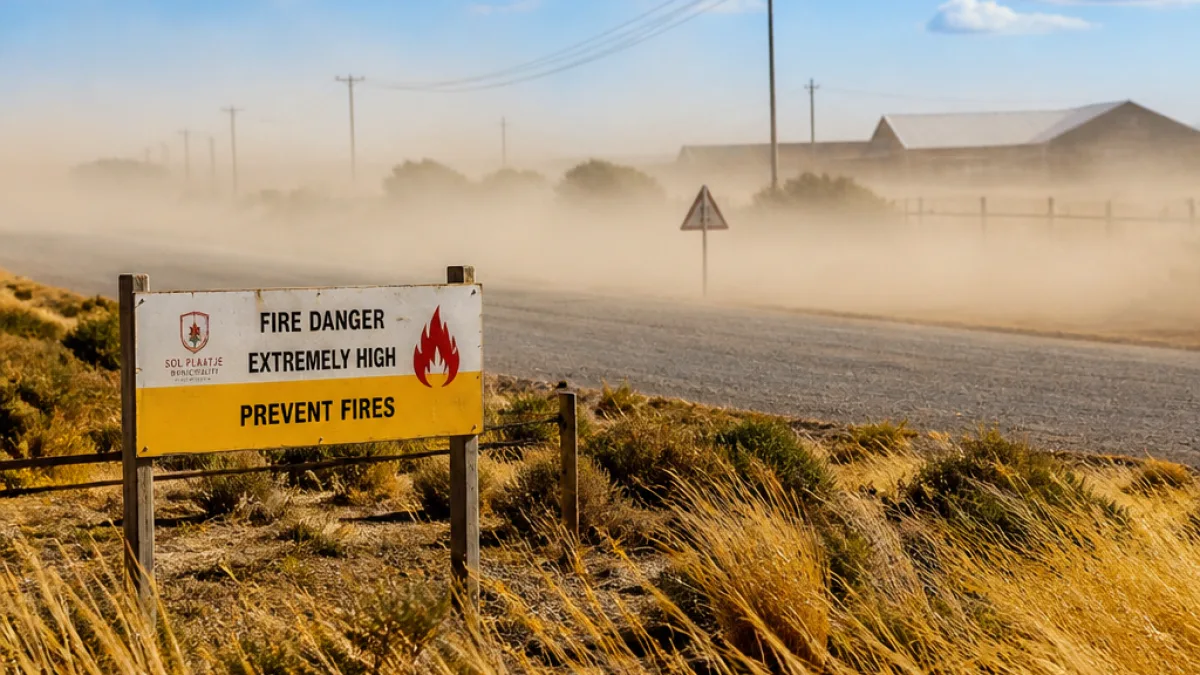
The South African Weather Service (SAWS) has warned of unsettled conditions this week that will affect parts of the Northern Cape, with isolated to scattered thunderstorms in the east of the province and a yellow level 1 warning for damaging winds in extreme eastern areas. In addition, large swathes of the province are expected to experience high fire danger through the period.
What the forecast says for the Northern Cape
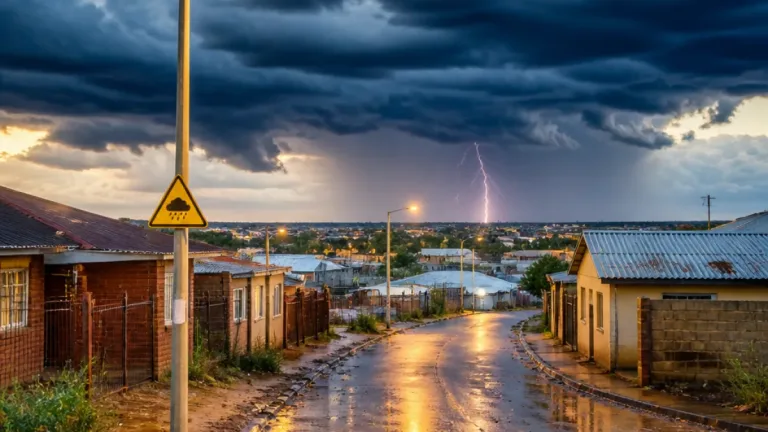
SAWS said a combination of a surface trough over the western interior, a high-pressure system over the eastern parts of the country and upper-air disturbances will combine with high temperatures to produce unstable conditions. The service expects partly cloudy and warm to hot conditions in many places, with isolated to scattered showers and thunderstorms mainly over central and eastern regions.
“Otherwise, partly cloudy and warm to hot conditions are expected, with isolated to scattered thunderstorms possible over the eastern parts of the country,” said SAWS senior forecaster Lehlogonolo Thobela.
For the Northern Cape specifically, SAWS highlighted two main hazards:
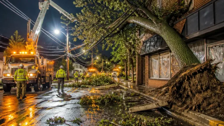
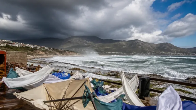
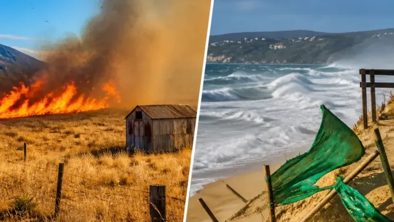
- Localised damaging winds — a yellow level 1 warning was issued for damaging winds in the extreme eastern parts of the Northern Cape. These winds could cause localised damage to settlements, agricultural losses and disruptions to transport routes and travel services.
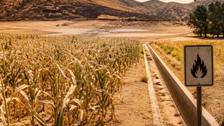
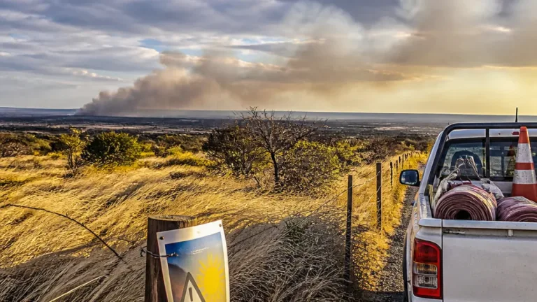
- High fire danger — central and eastern parts of the Northern Cape are listed among areas expecting high fire danger conditions during the same period.
Who is likely to be affected?
The warnings and forecast concern eastern and central districts of the province more than the far west. While thunderstorms are expected mainly in the eastern portions, the high fire danger stretches into central parts of the Northern Cape, where hot, dry and windy conditions raise the risk of veld fires that can spread rapidly across open Karoo landscapes.
SAWS also noted cooler, cloudier weather along the east and south coasts nationally, and more widespread rainfall for coastal Eastern Cape and southern KwaZulu‑Natal — context that underlines the contrast between damp coastal belts and drier inland areas such as much of the Northern Cape.
Practical advice for residents and travellers
Residents, farmers and travellers in affected parts of the Northern Cape should take the following precautions while the alerts remain in place:
- Secure loose outdoor items and caution against unnecessary travel during severe wind or thunderstorm activity.
- Avoid open flames and sparking machinery in high fire danger zones; observe municipal or landowner fire-bans where in force.
- Keep informed via local radio, SAWS updates and municipal alerts for changes to warnings and road conditions.
- Farmers should be prepared for sudden wind shifts and consider protective measures for stock and crops where feasible.
- If driving during heavy downpours or thunderstorms, reduce speed, increase following distance and avoid flooded sections of road.
Summary of official alerts
| Alert | Affected area (Northern Cape) | Potential impacts |
|---|---|---|
| Yellow level 1 (damaging winds) | Extreme eastern parts of the Northern Cape | Localised damage to settlements; agricultural losses; transport disruptions |
| High fire danger | Central and eastern Northern Cape (and parts of western NC) | Increased risk of veld and structural fires; rapid fire spread in windy conditions |
SAWS has also issued a separate yellow level 2 warning in KwaZulu‑Natal for severe thunderstorms with heavy downpours, damaging winds, hail and lightning that may cause localised flooding and infrastructure damage. While that warning does not apply to the Northern Cape, it forms part of the broader unstable weather pattern affecting the interior and eastern seaboard.
Residents are urged to monitor SAWS bulletins and local municipal advisories for updates, and to act promptly if conditions deteriorate. Emergency services and local authorities will provide further guidance should warnings escalate or if localised incidents occur.
Key contacts: keep local municipal emergency numbers and the SAPS number at hand for urgent assistance, and listen to regional radio for live updates while travelling across the province.
Weather is changeable in the Karoo; staying informed and prepared reduces the risk to life, property and livelihood.