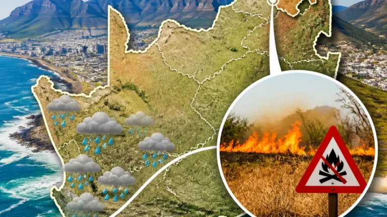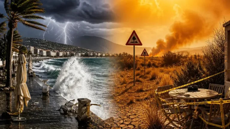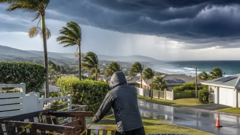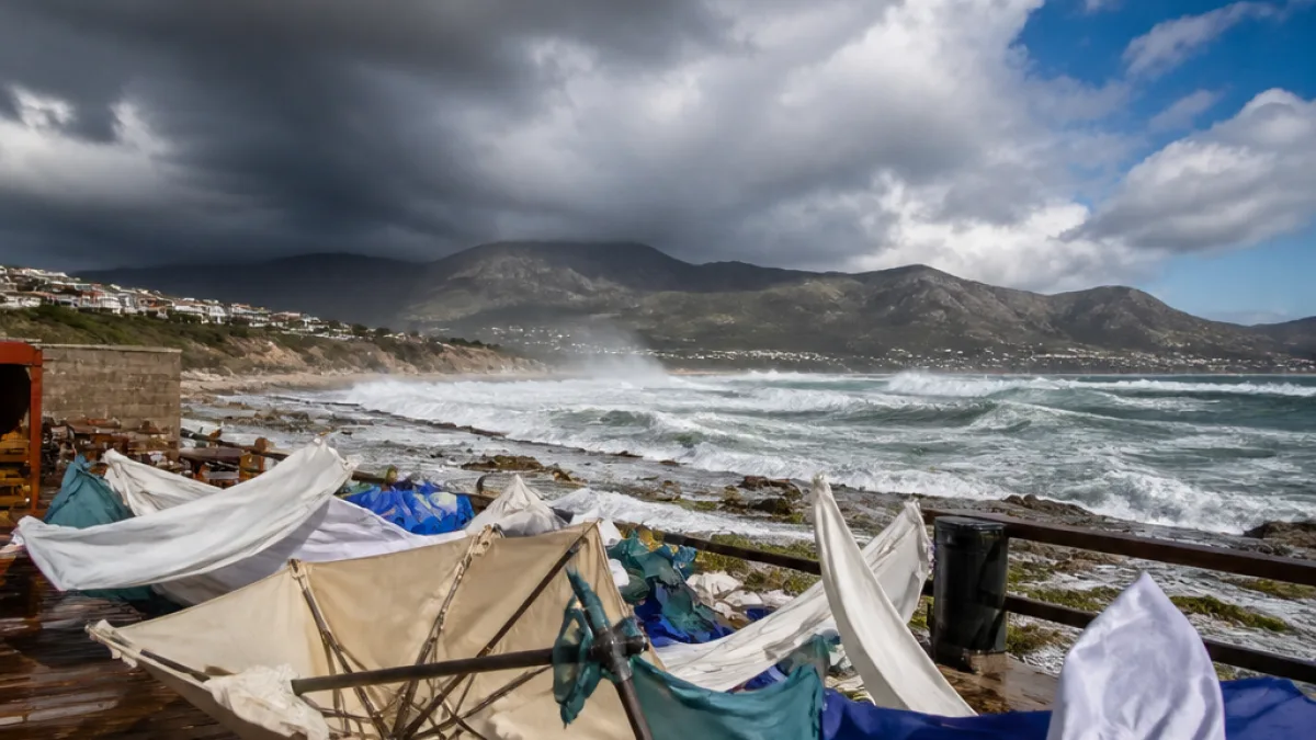
What you need to know now: The South African Weather Service (SAWS) has issued a Level 2 severe thunderstorm warning for parts of KwaZulu‑Natal for today. Expect heavy downpours, strong and damaging winds, hail, frequent lightning and the risk of localised flooding that could affect roads, bridges and low‑lying settlements. The warning also notes the potential formation of sinkholes.
Where the warning applies
The warning covers a large number of district, local and metropolitan municipalities across the central and eastern parts of the province, including eThekwini, Msunduzi and uMhlathuze, as well as smaller districts such as Nkandla, Ulundi and Mtubatuba. SAWS said these storms could produce hazardous driving conditions and damage to infrastructure and property.
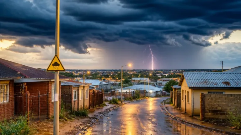
“Severe thunderstorms accompanied by heavy downpours, damaging winds, hail and lightning resulting in localised flooding and damage to infrastructure and settlement are expected in places over the central and eastern part of KZN,” SAWS said.
Hazards and likely impacts
The main hazards associated with this Level 2 warning are:
- Heavy rainfall over short periods, causing rapid accumulation of water on roads and in low‑lying areas and the risk of localised flooding.
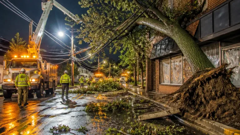
- Damaging winds able to bring down trees, powerlines and signage, creating travel disruptions and power outages.
- Hail which can damage vehicles, roofs, crops and greenhouse structures.
- Lightning posing a direct threat to people outdoors and to livestock and infrastructure.
- Sinkholes potentially forming where heavy rains undermine ground stability, especially near drainage channels and older infrastructure.
Practical safety advice
Take these precautions immediately if you are in or travelling to the warned areas:
- Avoid unnecessary travel while storms are active. If you must drive, reduce speed, keep lights on and increase following distance; expect slippery roads and reduced visibility.
- Avoid bridges and low‑lying roads that are prone to flooding. Do not attempt to drive through standing or flowing water.
- Stay indoors and away from windows during lightning and hail. Secure loose outdoor objects that can become projectiles in strong winds.
- Move vehicles, livestock and pets to sheltered areas where possible to reduce hail and wind damage.
- Be alert for fallen powerlines and report them to your municipality and Eskom. Keep a safe distance from any downed lines.
- Monitor local radio, SAWS updates and municipal warnings for changing conditions and evacuation advice if required.
| Hazard | Immediate action |
|---|---|
| Heavy rain and flooding | Avoid low‑lying roads; move to higher ground if water rises in buildings |
| Damaging winds and hail | Secure loose items; shelter vehicles and animals |
Travel, infrastructure and community preparedness
SAWS warned that storms could damage infrastructure and settlements and flood roads and bridges. Motorists should be prepared for delays and avoid travel in the most affected districts where practical. Municipalities and emergency services in the province commonly activate response plans for localised flooding and storm damage; residents should follow instructions from local authorities.
This warning arrives as parts of the country also manage other risks. The source reporting the warning noted an extremely high fire danger remains in Nama Khoi in the Northern Cape — a reminder that weather risks can vary sharply across provinces.
After the storm
Once the immediate danger passes, people should check their properties for damage and hazards: be cautious around loose roof sheets, broken glass and standing water. Report blocked stormwater drains and damaged roads to your municipality so they can act quickly to reduce further risk. If you suspect sinkhole formation or ground subsidence, keep clear of the area and inform municipal disaster services.
Keep monitoring the SAWS website and official channels for updates and additional warnings. Practical preparedness — avoiding unnecessary travel, securing property and following local emergency advice — will reduce harm and disruption while crews respond to the storm impacts.