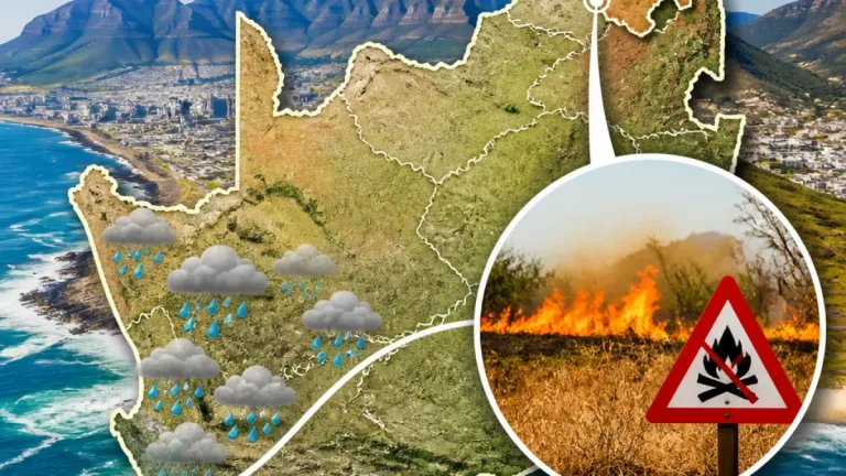
Nama Khoi Municipality in the Northern Cape faces an extremely high fire danger this weekend as a hot, dry airmass settles over the western interior, the South African Weather Service (SAWS) said on Saturday.
What SAWS is warning
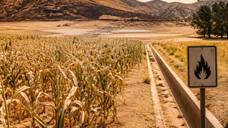
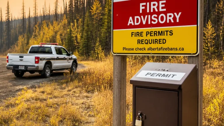
In its weekend outlook issued on 24 October 2026, SAWS said much of the western half of the country would remain dry while the central and eastern interior could see isolated showers and thunderstorms on Sunday, 25 October. The agency singled out Nama Khoi Municipality for extremely high fire danger on Saturday, warning that conditions were favourable for the rapid spread of wildfires.
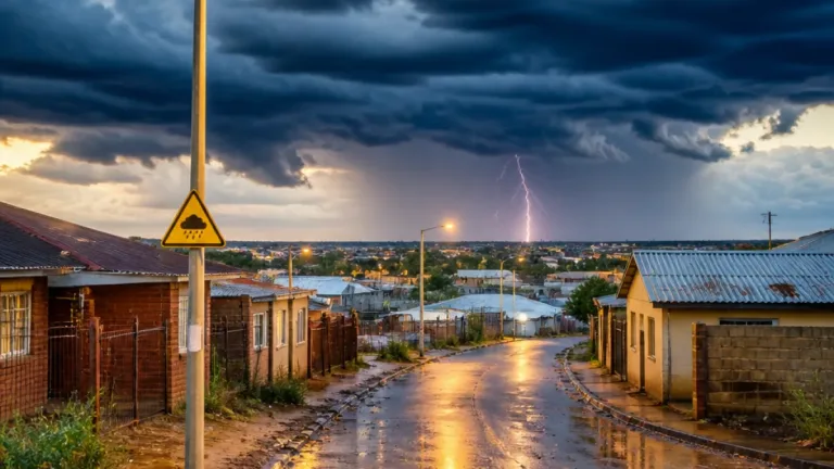
Elsewhere, SAWS expected isolated afternoon showers in parts of KwaZulu‑Natal — mainly the north and extreme west — with about a 30% chance of rain in the affected areas. The forecast described variable conditions between neighbouring locations, meaning one town might see storms while another, a short distance away, remains dry.
Regional summary
| Area | Outlook (24–25 Oct 2026) |
|---|---|
| Nama Khoi Municipality (Northern Cape) | Extremely high fire danger (Saturday) |
| KwaZulu‑Natal (north & extreme west) | Isolated afternoon showers (Sunday) — ~30% chance |
| Gauteng | Fine and warm; hot in far north; very high UVB index |
| North West | Hot to very hot |
| Limpopo & Mpumalanga (eastern parts) | Morning fog; possible light rain/drizzle along escarpment and Lowveld |
| Western half of country | Mostly dry through the weekend |
What this means locally
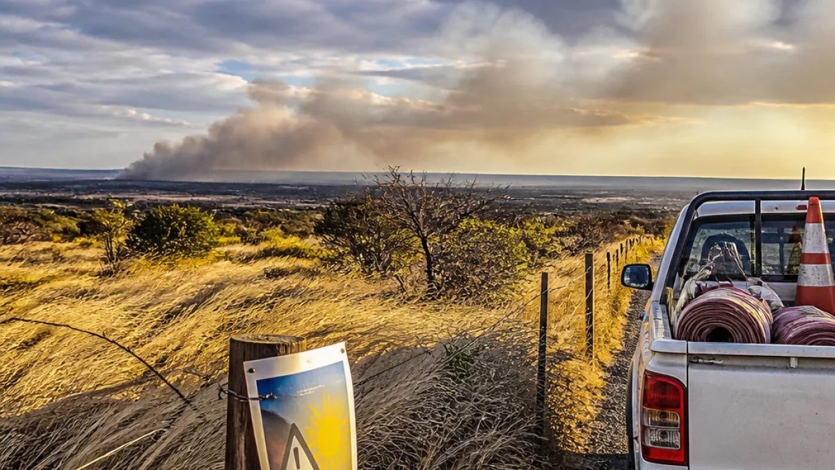
For residents of the Northern Cape, especially those living in or travelling through the Nama Khoi area, the combination of hot, dry weather and strong fire danger requires heightened vigilance. Wildfires can start and spread rapidly under these conditions, threatening homes, infrastructure and grazing land.
Local municipalities, farmers and communities should review their fire‑prevention measures and be prepared to respond quickly. Practical steps include:
- Avoid using open flames, burning-off or veld fires while the warning is in place.
- Keep combustible materials away from dwellings and farm buildings.
- Ensure vehicles and equipment are well maintained to prevent sparks.
- Have domestic and livestock escape plans and a basic emergency kit ready.
- Monitor local municipal channels and SAWS updates for changes to the forecast.
The SAWS weekend outlook also highlighted a very high UVB sunburn index across parts of Gauteng as temperatures rise. Residents in affected areas are advised to limit direct sun exposure during peak hours and use sunscreen and protective clothing.
Travel and outdoor plans
People planning outdoor activities in the central and eastern interior should note the chance of isolated thunderstorms on Sunday. Because rain chances are variable and often localised, it is prudent to check the latest SAWS radar and local updates before setting out.
Motorists travelling through the eastern escarpment and Lowveld should be aware of the potential for morning fog and light drizzle — conditions that can reduce visibility and make driving more hazardous.
SAWS emphasised that while western regions will largely remain dry, weather conditions can change quickly. Residents are encouraged to stay informed through official SAWS forecasts and their local municipality’s emergency services.
For the Nama Khoi area — where towns such as Springbok provide the local hub for services and emergency coordination — municipal authorities and emergency services are best placed to issue warnings and evacuation instructions if the situation deteriorates.
Further updates will be available from the South African Weather Service as new observations and model guidance become available.