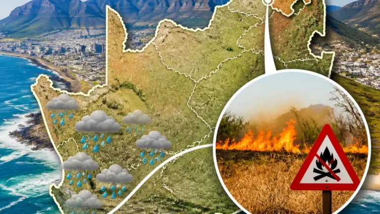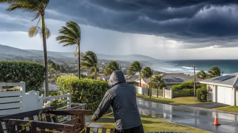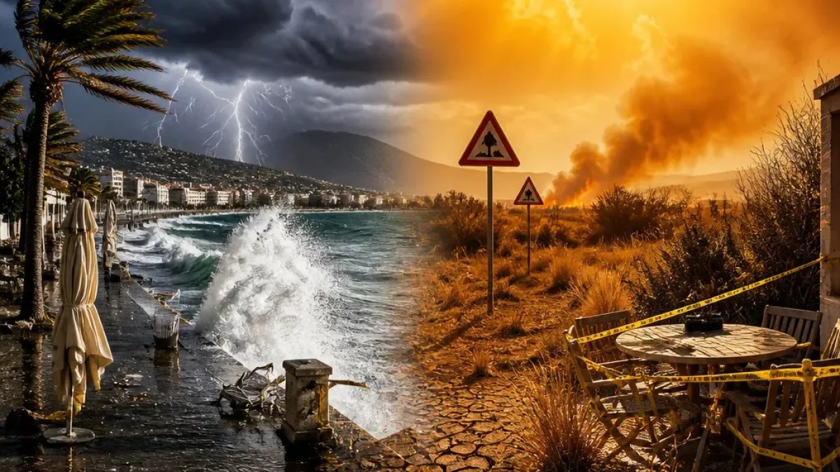
Severe thunderstorms and damaging winds are expected over parts of KwaZulu‑Natal on Monday, the South African Weather Service (SAWS) said, with related coastal hazards and a separate heat wave warning for other provinces. The agency has issued several impact‑based warnings and fire danger advisories covering multiple regions.
What to expect and immediate actions
People in affected areas should take straightforward precautions: secure loose outdoor items, avoid beachfront activities during strong onshore winds, drive cautiously on exposed routes and be alert to sudden downpours that can cause localised flooding of roads and bridges. Those in areas with extremely high fire danger should avoid any open flame, report uncontrolled fires, and follow local municipal or fire‑service instructions.
SAWS cautioned that the colour‑coded system indicates likely impacts. A yellow Level 2 warning denotes a moderate risk where caution and awareness are required; it can still cause localised damage and travel disruption.
Official warnings and areas affected
SAWS issued the following impact‑based warnings and advisories:
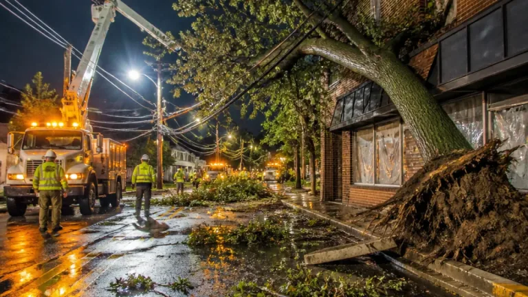
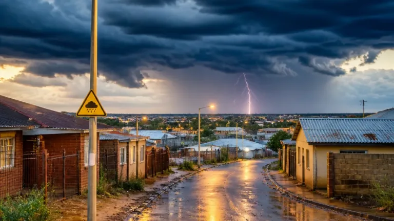
- Yellow Level 2 — Severe thunderstorms: most parts of KwaZulu‑Natal (except the south coast and adjacent interior). Expect localised damage to infrastructure and settlements, and flooding of susceptible roads and bridges.
- Yellow Level 2 — Damaging interior winds: eastern Free State and the western and eastern parts of KwaZulu‑Natal. High‑sided vehicles may experience problems on exposed routes; localised damage to settlements possible.
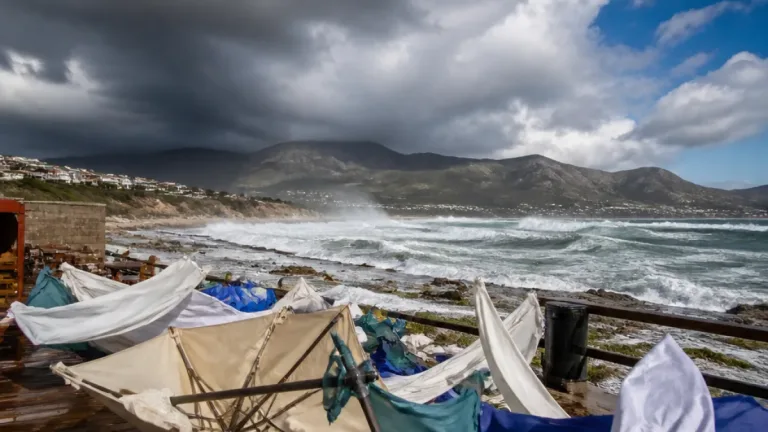
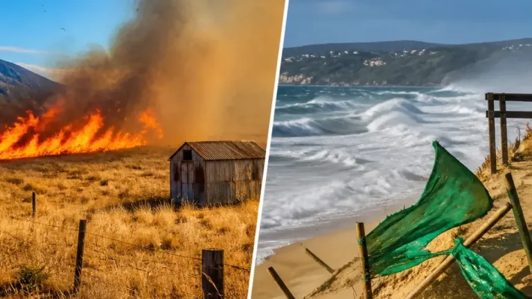
- Yellow Level 2 — Damaging winds and waves (coast): KwaZulu‑Natal coastline, with potential short‑term disruption to beachfront activities and small harbours or ports until Tuesday morning.
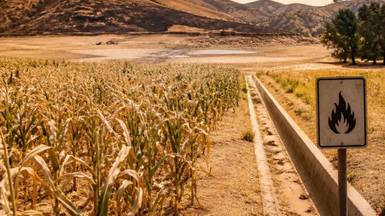
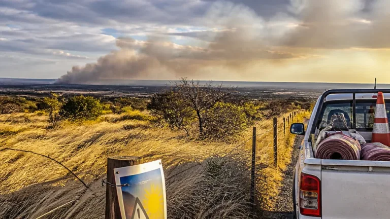
- Fire danger — Extremely high: northern KwaZulu‑Natal; eastern parts of the Free State and North West; northern parts of Gauteng; central and south‑western parts of Limpopo.
- Heat wave advisory: persistently high temperatures expected in parts of the Mpumalanga Highveld, southern Mpumalanga Lowveld and the south‑west Bushveld of Limpopo.
| Location | Expected conditions |
|---|---|
| Kwazulu‑Natal (most parts) | Severe thunderstorms, damaging winds, coastal waves |
| Eastern Free State | Damaging interior winds |
| Mpumalanga Highveld / southern Lowveld | Heat wave — persistently high temperatures |
| Pretoria (example) | Morning temperature reported at 17°C with partly cloudy, warm to hot conditions expected |
National outlook and local impacts
Most of the country will see partly cloudy, warm to hot conditions with isolated to scattered showers and thundershowers over central and eastern areas, SAWS said. The east coast and adjacent interior can expect cloudier, cooler conditions. In Gauteng, the forecast is for partly cloudy skies with isolated afternoon showers or thundershowers in the extreme south and hot conditions in northern parts.
The immediate risks come from strong gusts and intense downpours. Rapidly changing conditions can reduce visibility and make roads slippery; bridges and low‑lying roads that are prone to flooding should be treated with caution. Small craft and beach users along the KwaZulu‑Natal coastline should expect rough seas and brief disruptions to harbour activities.
Fire authorities and SAWS emphasise that in areas with extremely high fire danger, fires can start and spread very quickly. Residents in those districts should ensure gardens and properties are cleared of flammable debris, follow restrictions set by local municipalities and avoid burning or using machinery that can create sparks.
For those experiencing heat‑wave conditions, practical measures include staying hydrated, avoiding strenuous activity during the hottest parts of the day, seeking shade or cool environments when possible, checking on vulnerable neighbours and keeping pets watered and sheltered.
SAWS will continue to monitor and update warnings. People are advised to follow official SAWS channels and local emergency services for further changes and any specific municipal instructions.
Safety checklist
- Secure loose outdoor objects and shade structures.
- Avoid driving through flooded roads; find alternate routes if necessary.
- Stay away from beaches and small harbours during high waves and strong winds.
- In extreme fire danger zones, do not light fires and report any uncontrolled flames immediately.
- During heat waves, drink water regularly and limit time outdoors in peak heat.
If conditions worsen locally, follow instructions from emergency services and your municipality. Keep tuned to SAWS bulletins and local media for updated forecasts and warnings.