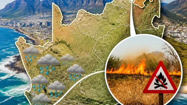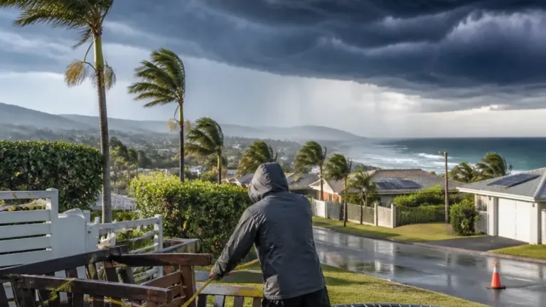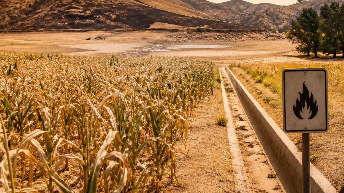
Act now to reduce water use and prepare for heat and storm hazards this summer. Weather commentators say an El Niño pattern in the Pacific is likely to shift South Africa’s seasonal outlook towards warmer-than-normal temperatures and a greater chance of below-normal rainfall over large parts of the country. That combination raises risks for water availability, agriculture and heat-related health impacts, even as isolated severe thunderstorms can still occur.
What El Niño means for South Africa
El Niño originates in the tropical Pacific when surface waters become warmer than typical. The change alters global atmospheric circulation and, in turn, regional weather patterns. Juandre Vorster — known online as the Weather Hooligan — explained the mechanism and the likely consequences to the Brakpan Herald, stressing that El Niño modifies the overall seasonal pattern rather than eliminating rainfall entirely.
“El Niño happens when the surface water in parts of the tropical Pacific becomes warmer than normal. That changes atmospheric circulation, which then affects weather patterns worldwide,” Juandre Vorster said to the Brakpan Herald.
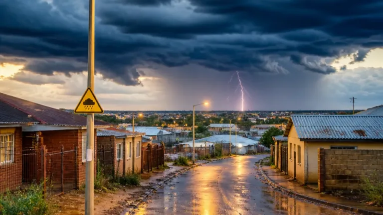
In practical terms, forecasters are pointing to a season with longer dry spells, higher evaporation and an increased likelihood of heat. But summer remains thunderstorm season in many provinces — notably Gauteng — and strong, localised storms can still develop suddenly.
Immediate steps households and local authorities should take
- Begin routine water conservation now: fix leaks, use water-efficient fixtures and reduce non-essential outdoor use.
- Check and maintain roof, gutters and drainage ahead of summer to reduce flood and property damage from sudden storms.
- Have a simple home heat plan: identify cooler rooms, increase ventilation, and ensure vulnerable family members have access to shade and fluids.
These actions help reduce pressure on municipal water supplies and lower the health risks associated with heatwaves. Municipalities should prioritise early communication on restrictions and prepare emergency drainage clearing and storm-response teams.
Implications for farmers and food production
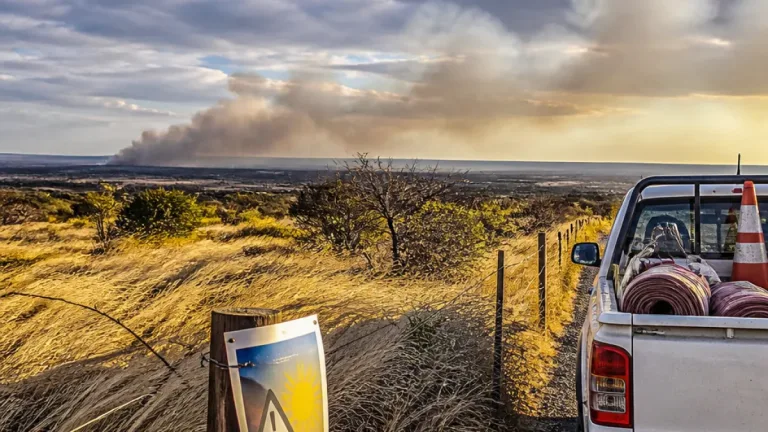
When rainfall is reduced and temperatures rise, evaporation accelerates and soil moisture declines. That places added strain on surface and groundwater resources, and affects the timing and success of planting, pollination and crop maturation. Vorster reminded farmers that the distribution and timing of showers can be as important as the season’s total rainfall.
Farmers are advised to:
- review irrigation schedules and consider moisture-conserving practices such as mulching and cover crops;
- monitor local forecasts and short-term thunderstorm risk closely, since heavy falls can be highly localised;
- prepare contingency plans for livestock water and feed should drought conditions persist.
Commercial and small-scale producers should engage extension services and water authorities as early as possible to manage shared resource pressures.
Thunderstorm risk — why you should not store away the umbrella
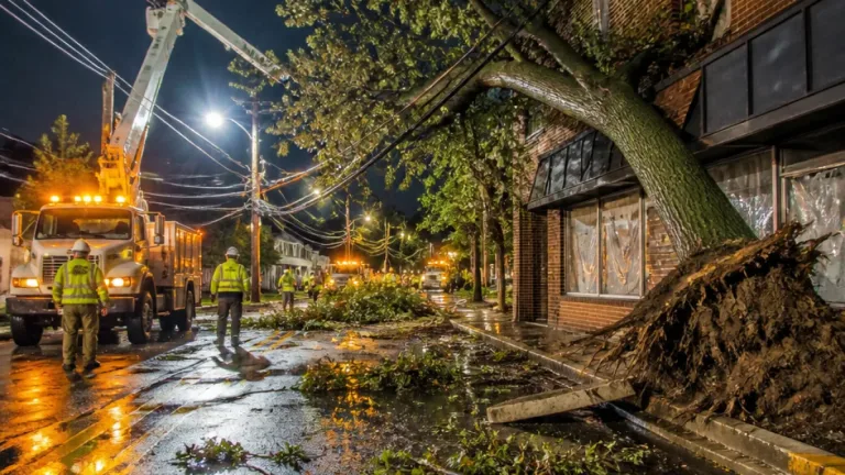
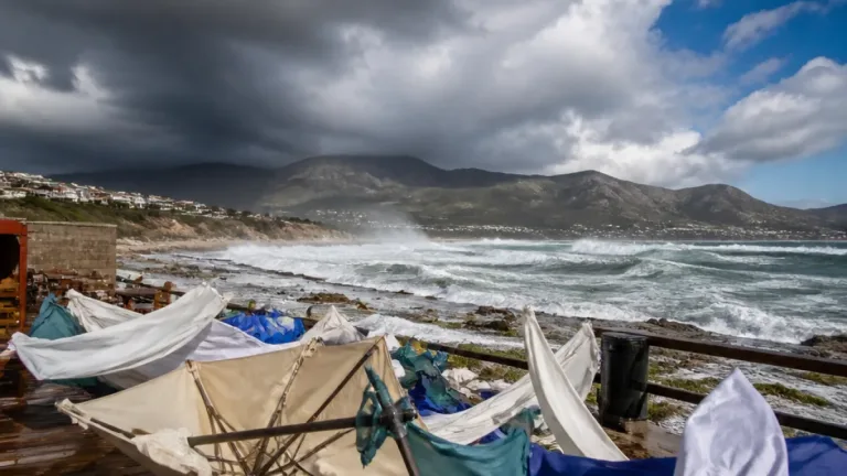
Despite the tendency towards drier spells, some summer storms will remain powerful and unpredictable. Vorster highlighted that thunderstorms can be very uneven in distribution: one area may receive heavy rainfall while a location barely 20–30km away gets little or none. That makes local forecasting and preparedness essential.
Practical thunderstorm precautions include securing outdoor furniture, avoiding driving through flooded roads, and steering clear of trees and open fields during lightning. Keep a battery-powered radio or charged mobile device for warnings if power is lost.
| Likely seasonal feature | Practical response |
|---|---|
| Warmer-than-normal temperatures | Implement heat-safety measures; check on elderly and ill neighbours |
| Below-normal rainfall overall | Conserve water; plan irrigation and municipal restrictions |
| Isolated intense thunderstorms | Secure property; avoid flood-prone routes; heed warnings |
As the season progresses, check updates from SAWS and local authorities for specific forecasts and warnings. The expectation of a warmer, drier pattern is a call to action: reduce water waste now, prepare agricultural plans for variable rains, and stay alert to sudden storm hazards.
Practical preparation and early communication will reduce harm and disruption. The weather will not be uniform across the country — prepare for heat, save water, and respect the power of summer storms.