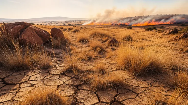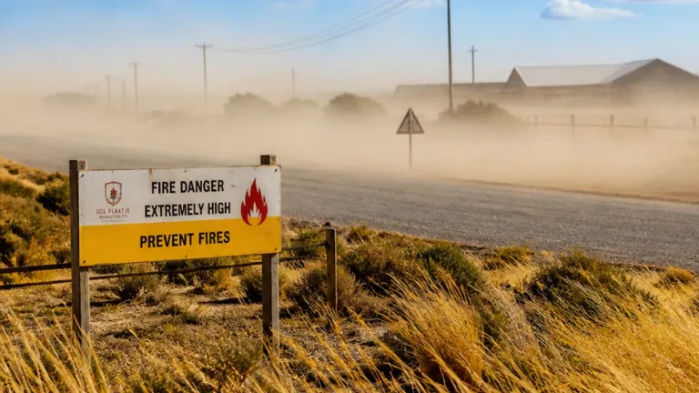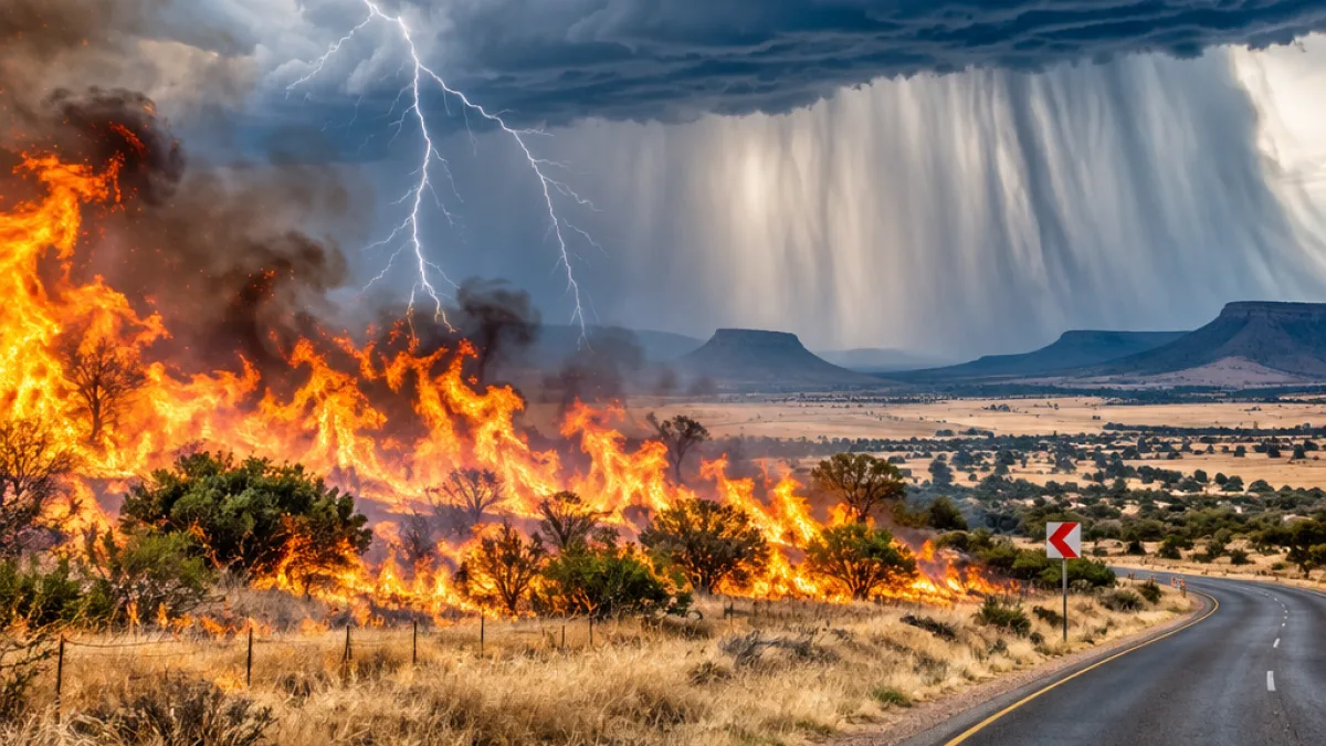
People in parts of the North West, Free State, Northern Cape, Limpopo and Western Cape should take extra care on Wednesday, 4 November 2026, as dangerous fire conditions coincide with severe thunderstorms in several eastern areas. The South African Weather Service has issued a Red Level 10 warning for veld-fire conditions from 09:00 to 17:59, with fires expected to spread rapidly if they start.
The highest-level fire warning applies to Schweizer-Reneke, Mafikeng, Hoopstad, Bothaville, Ratlou, Bloemhof, Tosca, Ventersdorp, Vryburg, Taung and Makapanstad. SAWS said the Fire Danger Index is above 75 in these areas. Under these conditions, fires can threaten property and may result in the loss of human or animal life.
Residents, farmers and people working in the affected areas should avoid any activity that could ignite dry vegetation. Those responsible for fire-fighting operations are advised to place teams, labour and equipment on full standby. Field personnel and equipment should be withdrawn, while any sign of smoke should be reported and addressed immediately. The warning also calls for available aircraft to be requested without delay if they are needed to support fire-fighting efforts.
Storm threats in the east
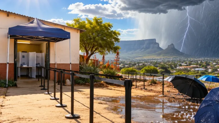
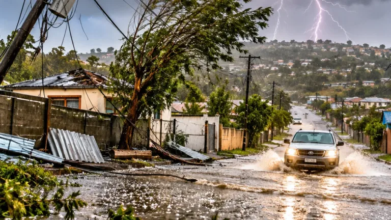
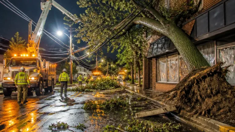
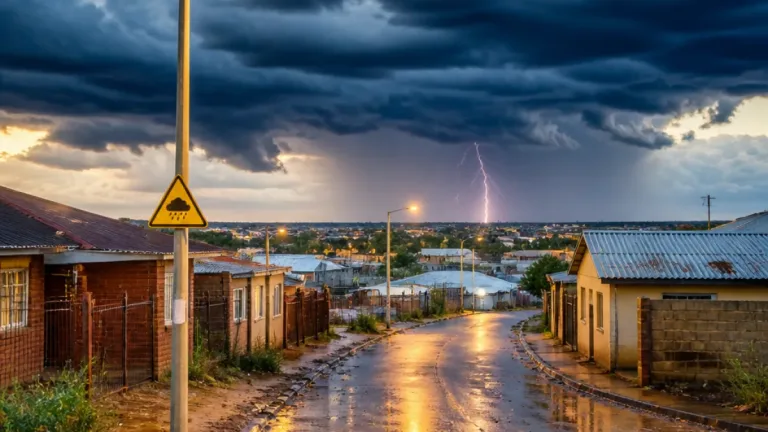
At the same time, a Yellow Level 4 warning has been issued for the north-western parts of KwaZulu-Natal and central Mpumalanga. Severe thunderstorms in these areas may produce heavy rain, hail and excessive lightning. The expected rainfall could cause flooding and damage infrastructure, particularly where drainage systems are overwhelmed.
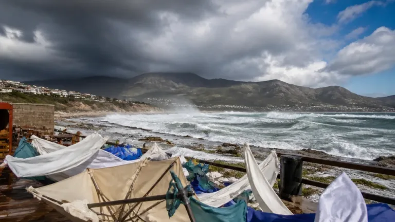
A lower-level Yellow Level 2 warning covers western KwaZulu-Natal, central-southern Limpopo and most of Mpumalanga. The storm risk in these areas includes downpours, damaging winds, hail and lightning, with the possibility of localised flooding and damage to infrastructure and settlements.
- During thunderstorms, move indoors and stay away from windows, trees, isolated structures and open ground.
- Do not drive or walk through flooded roads, even if the water appears shallow.
- Keep away from damaged power lines and report hazards to the relevant authorities.
- In fire-warning areas, do not make open fires and avoid activities that could produce sparks.
Hot conditions across the interior
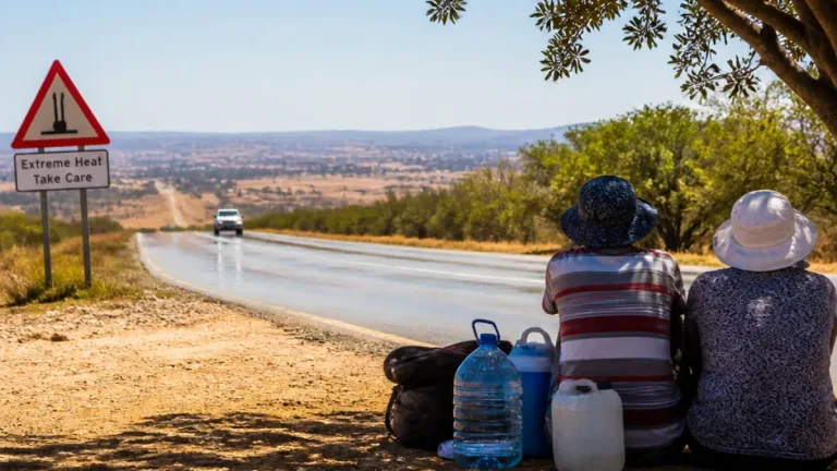
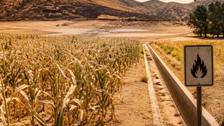
Temperatures will add to the strain in a number of regions. Upington and Musina are forecast to reach 38°C, making them the hottest locations listed in the outlook. Extremely high fire danger is expected in parts of the North West, the northern Free State and the southern Northern Cape, while Mbombela, Ermelo and Newcastle have a 60% chance of rain.
| Area or risk | Forecast or warning |
|---|---|
| Schweizer-Reneke, Mafikeng and other listed areas | Red Level 10 veld-fire conditions |
| North-western KwaZulu-Natal and central Mpumalanga | Yellow Level 4 severe thunderstorms |
| Western KwaZulu-Natal, central-southern Limpopo and most of Mpumalanga | Yellow Level 2 severe thunderstorms |
| Upington and Musina | 38°C |
The combination of heat, dry vegetation and strong fire-weather conditions means that a small ignition source can become a serious incident quickly. People living near grassland or farmland should keep access routes clear and remain alert to smoke, while motorists should be prepared for reduced visibility if smoke or heavy rain affects roads.
Storms may bring a different set of hazards in the eastern provinces, including sudden flooding, hail and lightning. The warnings do not mean that every location in the named areas will experience severe weather, but conditions may deteriorate quickly. Residents should monitor updates from SAWS and local authorities throughout the day and adjust travel or outdoor plans when storms develop.